Cimel CE332 Airborne Thermal Infrared Radiometer
| Brand | Cimel |
|---|---|
| Origin | France |
| Model | CE332 |
| Instrument Type | Spectroradiometer |
| Spectral Channels | 3 thermal infrared bands |
| Central Wavelengths | 8.7 µm (1.0 µm FWHM), 10.8 µm (1.0 µm FWHM), 13.0 µm (1.0 µm FWHM) |
| Measurement Frequency | 6.25 Hz (EU) / 7.5 Hz (US) |
| NEDT | ≤0.03 °C at 20 °C |
| Temperature Range | –30 °C to +50 °C |
| Field of View | 3° |
| Temperature Resolution | 0.001 °C |
| Temperature Accuracy | ±0.01 °C |
| Integration Time | 10 ms |
| Bandwidth | ~2 Hz |
| GPS Synchronization | Yes |
| Calibration | In-flight manual rapid recalibration supported |
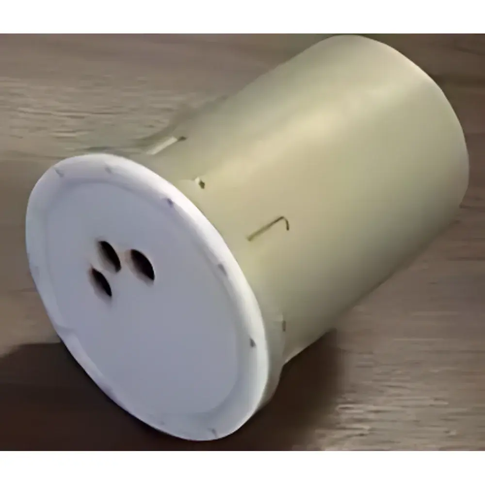
| Housing | Dual-layer insulated, hermetically sealed for airborne operation |
| Communication | RS-232 interface (max. cable length: 150 m) |
| Power Supply | 12 V DC |
| Weight | 2.4 kg |
| Dimensions | 13 cm (W) × 20 cm (H) × 13 cm (D) |
| Software | Airborne Radiometer v1.0 (Windows 95/98/ME/NT4/2000 compatible) |
| Data Output | Real-time 1- or 3-channel radiance & brightness temperature |
Overview
The Cimel CE332 Airborne Thermal Infrared Radiometer is a precision-engineered spectroradiometric instrument designed for quantitative remote sensing of surface brightness temperature from dynamic platforms. Based on calibrated narrowband thermopile detection and optimized for atmospheric transmission windows, the CE332 operates across three discrete thermal infrared spectral channels—centered at 8.7 µm, 10.8 µm, and 13.0 µm—each with 1.0 µm full-width-at-half-maximum (FWHM) bandwidth. These wavelengths correspond to key ASTER-like spectral bands used in land surface temperature (LST) retrieval, emissivity estimation, and atmospheric correction modeling. The instrument employs a stable, temperature-controlled optical head with integrated platinum resistance thermometer (PRT) for real-time reference temperature monitoring, ensuring traceable radiometric calibration under varying environmental conditions. Its compact, ruggedized enclosure—dual-layer insulated and hermetically sealed—meets mechanical and environmental requirements for sustained operation aboard fixed-wing aircraft, UAVs, helicopters, and mobile ground platforms such as survey trucks.
Key Features
- Simultaneous triple-channel acquisition at high temporal resolution (6.25 Hz in EU-compliant systems, 7.5 Hz in US-configured units)
- Low noise-equivalent differential temperature (NEDT) of ≤0.03 °C at 20 °C ambient, enabling high-fidelity thermal contrast detection
- Optical field-of-view fixed at 3°, supporting spatially resolved measurements with consistent geometric sampling
- In-flight manual rapid recalibration capability to maintain radiometric stability during extended missions
- Integrated GPS time-synchronization for georeferenced data alignment with navigation telemetry
- RS-232 serial interface for bidirectional command-and-control communication with host PC (up to 150 m cable length)
- 12 V DC power input with low power consumption, compatible with standard aviation and vehicle electrical systems
- Compact form factor (13 × 20 × 13 cm) and lightweight design (2.4 kg) optimized for payload-constrained platforms
Sample Compatibility & Compliance
The CE332 is not a contact-based sensor and does not require physical sample interaction; instead, it measures emitted thermal radiation from natural and engineered surfaces—including soil, vegetation canopies, asphalt, concrete, water bodies, and industrial infrastructure—at standoff distances. Its spectral configuration complies with widely adopted remote sensing standards including ASTM E1933 (Standard Test Methods for Measuring and Compensating for Emissivity Using Infrared Imaging Systems) and ISO 18434-1 (Condition monitoring and diagnostics of machines — Thermography — Part 1: General procedures). While not certified for medical or nuclear applications, its radiometric traceability aligns with laboratory-grade calibration practices per ISO/IEC 17025 when operated within defined environmental envelopes (–30 °C to +50 °C ambient, non-condensing humidity). The hermetic housing meets IP67-level ingress protection for airborne deployment under variable pressure and vibration profiles.
Software & Data Management
The CE332 is operated via the dedicated Airborne Radiometer v1.0 software suite, compatible with legacy Windows operating systems (95 through 2000). The application provides real-time visualization of up to three synchronized data streams: brightness temperature (°C), spectral radiance (W·m⁻²·sr⁻¹·µm⁻¹), and raw digitized detector output. All acquired parameters are timestamped and stored in structured ASCII format for interoperability with third-party analysis tools (e.g., MATLAB, ENVI, Python-based radiative transfer models). Configuration tables—including channel gain settings, calibration coefficients, and GPS metadata mapping—are editable and persist across sessions. Critical data integrity features include automatic background backup during acquisition and configurable fail-safe logging intervals. Though not compliant with FDA 21 CFR Part 11 or GLP/GMP electronic record requirements out-of-the-box, the ASCII-based data structure supports audit-ready archival when integrated into validated laboratory information management systems (LIMS).
Applications
- Atmospheric correction validation for satellite-derived land surface temperature products (e.g., MODIS, Landsat, Sentinel-3 SLSTR)
- High-resolution thermal mapping of urban heat islands, road surface temperature gradients, and pavement condition assessment
- Volcanic and geothermal monitoring via airborne thermal anomaly detection
- Wildfire perimeter tracking and post-burn severity evaluation
- Calibration and intercomparison campaigns for ground-based AERONET and BSRN stations
- Validation of radiative transfer models (e.g., MODTRAN, libRadtran) under heterogeneous terrain conditions
- Thermal emissivity characterization of agricultural crops and forest canopies
FAQ
What spectral bands does the CE332 measure, and why were these selected?
The CE332 measures at 8.7 µm, 10.8 µm, and 13.0 µm—wavelengths chosen to coincide with atmospheric transmission windows and match heritage ASTER thermal bands, facilitating cross-platform data fusion and LST algorithm consistency.
Can the CE332 be mounted on unmanned aerial vehicles (UAVs)?
Yes—the instrument’s weight (2.4 kg), low power draw (12 V DC), and mechanical robustness make it suitable for integration onto medium-to-large UAV platforms, provided vibration isolation and thermal management are implemented per platform-specific flight test protocols.
Is factory recalibration required annually?
Cimel recommends annual radiometric recalibration against blackbody references traceable to national metrology institutes (e.g., LNE, NIST); however, field recalibration using onboard PRT feedback and in-flight manual procedures sustains measurement continuity between scheduled services.
Does the CE332 support automated triggering via external TTL signals?
No—the CE332 relies exclusively on internal timing synchronization and RS-232 command control; external hardware triggering is not natively supported in v1.0 firmware.
How is data georeferenced during flight?
GPS position and UTC timestamps are embedded in each data packet via the integrated GPS receiver; post-processing alignment with inertial navigation system (INS) data requires external software (e.g., POSPac, Applanix) for sub-pixel spatial registration.