Cimel CE350 Multiband Hemispherical & Telecentric Radiometric Camera
| Brand | Cimel |
|---|---|
| Origin | France |
| Model | CE350 |
| Instrument Type | Portable Radiometer |
| Measurement Domain | Atmospheric and Submersible Radiance Distribution |
| Spectral Channels (nm) | 406, 438, 494, 510, 560, 628 |
| Radiance Range | 5×10⁻⁵ – 1 W·m⁻²·nm⁻¹·sr⁻¹ |
| Field of View | ±92° |
| Sensor | Anti-blooming CMOS |
| Dynamic Range | 5 decades |
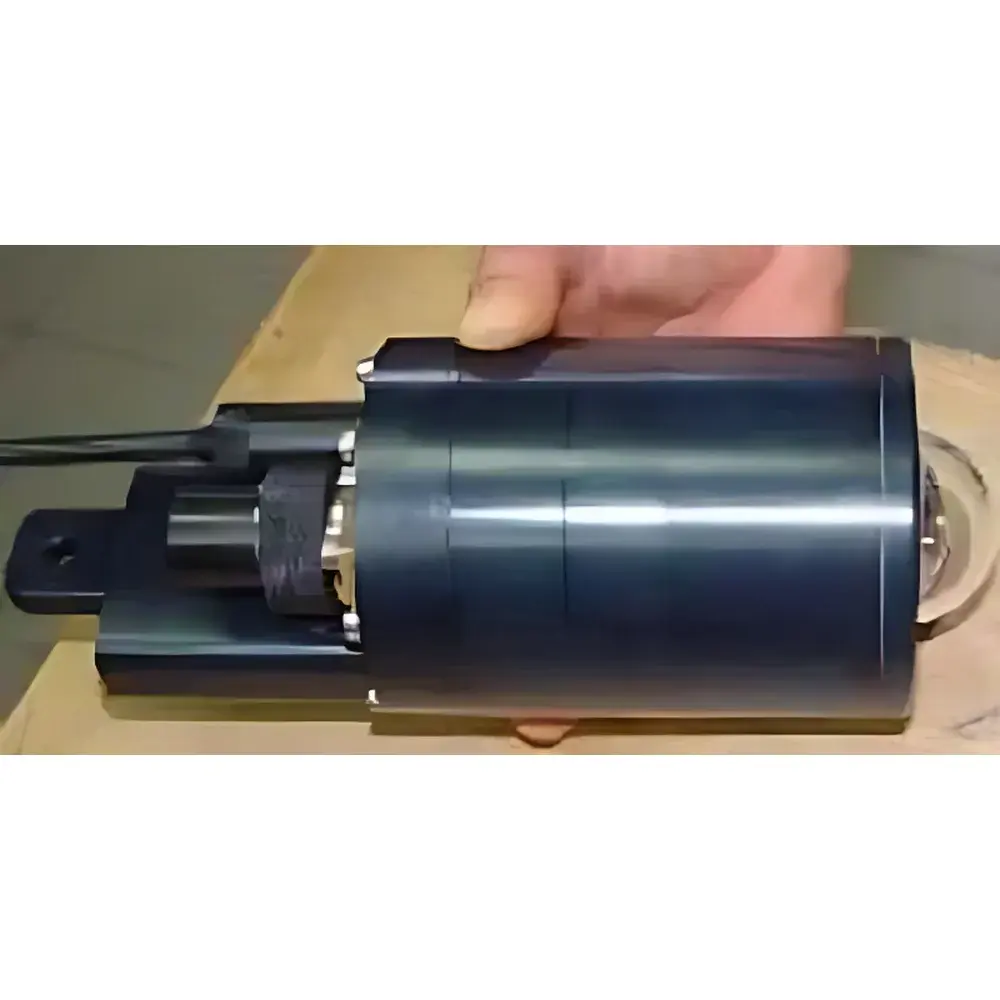
| Physical Dimensions | Ø96 mm × 260 mm |
| Remote Operation Distance | Up to 200 m (fiber-optic or shielded cable) |
| Integrated Auxiliary Sensors | Digital compass, tilt sensor, pressure (depth), temperature, humidity |
| Optical Design | Patented telecentric hemispherical lens with motorized filter wheel |
Overview
The Cimel CE350 is a field-deployable, multiband hemispherical and telecentric radiometric camera engineered for quantitative angular and spectral radiance distribution measurements in both atmospheric and underwater environments. Unlike conventional narrow-field radiometers or single-point photodiodes, the CE350 employs a patented telecentric optical architecture coupled with a high-dynamic-range anti-blooming CMOS sensor to capture full-hemispheric (±92°) radiance fields in a single exposure. Its measurement principle is based on calibrated digital imaging radiometry: each pixel corresponds to a specific solid angle and wavelength band, enabling direct derivation of spectral radiance (W·m⁻²·nm⁻¹·sr⁻¹) across six discrete channels (406, 438, 494, 510, 560, and 628 nm). Designed for rigorous environmental monitoring, the CE350 supports traceable radiometric calibration protocols aligned with ISO/IEC 17025-accredited laboratory practices and is routinely deployed in validation campaigns for satellite sensors such as POLDER-II.
Key Features
- Patented telecentric hemispherical lens system with integrated motorized filter wheel for sequential multispectral acquisition
- High-fidelity anti-blooming CMOS sensor delivering 5-decade dynamic range—critical for simultaneous capture of sky brightness and dark water regions
- Compact cylindrical form factor (Ø96 mm × 260 mm) minimizing self-shadowing artifacts during ground- or vessel-mounted deployment
- Submersible-rated housing (IP68) with integrated pressure transducer for depth-resolved underwater radiance profiling down to 300 m
- Onboard inertial measurement unit (IMU) comprising digital compass and dual-axis tilt sensor for real-time geometric correction of viewing geometry
- Environmental monitoring suite: calibrated temperature, relative humidity, and pressure sensors co-located with optical path for atmospheric refraction compensation
- Remote operation up to 200 meters via fiber-optic link or armored twisted-pair cable—enabling safe deployment near hazardous or inaccessible sites
Sample Compatibility & Compliance
The CE350 is validated for use across heterogeneous media including clear-sky atmospheres, aerosol-laden boundary layers, coastal waters, and optically deep oceanic columns. Its radiometric calibration is traceable to NIST-standard reference lamps and maintained under controlled laboratory conditions per ISO/IEC 17025 requirements. Data acquisition workflows comply with FAIR principles (Findable, Accessible, Interoperable, Reusable) and support metadata embedding per CF-NetCDF conventions. For regulatory applications—including long-term climate monitoring networks (e.g., AERONET-OC, BOUSSOLE) and EU Copernicus calibration/validation activities—the CE350 meets essential criteria outlined in ISO 17123-8 (field instruments for optical radiation) and supports audit-ready logging required under GLP frameworks.
Software & Data Management
CIMEL’s proprietary acquisition software provides deterministic control over exposure time, electronic gain (three discrete levels), and filter sequencing—ensuring optimal signal-to-noise ratio across varying illumination conditions. Raw images are stored in 16-bit TIFF format with embedded EXIF tags containing timestamp, GPS coordinates (when external GNSS module is connected), IMU orientation, and auxiliary sensor readings. The inversion pipeline includes vignetting correction, flat-field normalization, spectral responsivity mapping, and geometric projection into Lambertian or BRDF-conformant coordinate systems. Export formats include NetCDF-4 (with CF-1.8 compliance), HDF5, and ASCII tables compatible with MATLAB, Python (xarray, netCDF4), and ENVI. Software binaries undergo annual verification against NIST-traceable test patterns and are distributed with version-controlled release notes and SHA-256 integrity checksums.
Applications
- Atmospheric science: Sky radiance distribution modeling, aerosol optical depth retrieval, cloud albedo estimation, and synergy with CE318 sun-sky photometers for column-integrated aerosol characterization
- Ocean optics: In-water spectral radiance profiles for deriving inherent optical properties (IOPs), remote sensing reflectance (Rrs), and bidirectional reflectance distribution function (BRDF) of marine surfaces
- Satellite validation: On-site vicarious calibration and uncertainty quantification for spaceborne polarimeters (e.g., POLDER, 3MI) and ocean color sensors (e.g., OLCI, VIIRS)
- Climate monitoring: Long-term trend analysis of surface albedo, solar irradiance partitioning, and cryosphere–ocean interface radiative forcing
- Ecological studies: Canopy gap fraction assessment, underwater light climate mapping for benthic habitat modeling, and UV-B exposure dosimetry in shallow ecosystems
FAQ
Is the CE350 suitable for both above-water and submerged deployments?
Yes—the instrument features a pressure-rated titanium housing rated to 300 m depth and includes a calibrated pressure transducer for automatic depth registration during underwater operation.
What spectral calibration standards does the CE350 follow?
Calibration is performed using NIST-traceable tungsten-halogen standard lamps at CIMEL’s ISO/IEC 17025-accredited laboratory; spectral responsivity is verified annually with monochromator-based linearity testing.
Can the CE350 operate autonomously for unattended field campaigns?
Yes—when paired with an external power supply and telemetry module (e.g., LTE or Iridium), the CE350 supports scheduled acquisition, onboard data compression, and secure remote firmware updates.
Does the software support automated BRDF inversion?
Yes—the included processing suite implements iterative optimization algorithms to derive BRDF parameters from multi-angle, multi-spectral hemispherical datasets, with optional constraints for Lambertian or Cox-Munk surface models.
Are raw data files compatible with third-party radiative transfer models?
Absolutely—radiance images are exported with full georeferencing, spectral metadata, and viewing geometry vectors, enabling direct ingestion into MODTRAN, libRadtran, and Hydrolight simulation environments.
Related Products


