EcoDrone UAS-4 Professional Quadcopter-Based Infrared Thermal Imaging Remote Sensing System
| Origin | Beijing, China |
|---|---|
| Manufacturer Type | Authorized Distributor |
| Origin Category | Domestic (China) |
| Model | EcoDrone UAS-4 |
| Price | Upon Request |
Overview
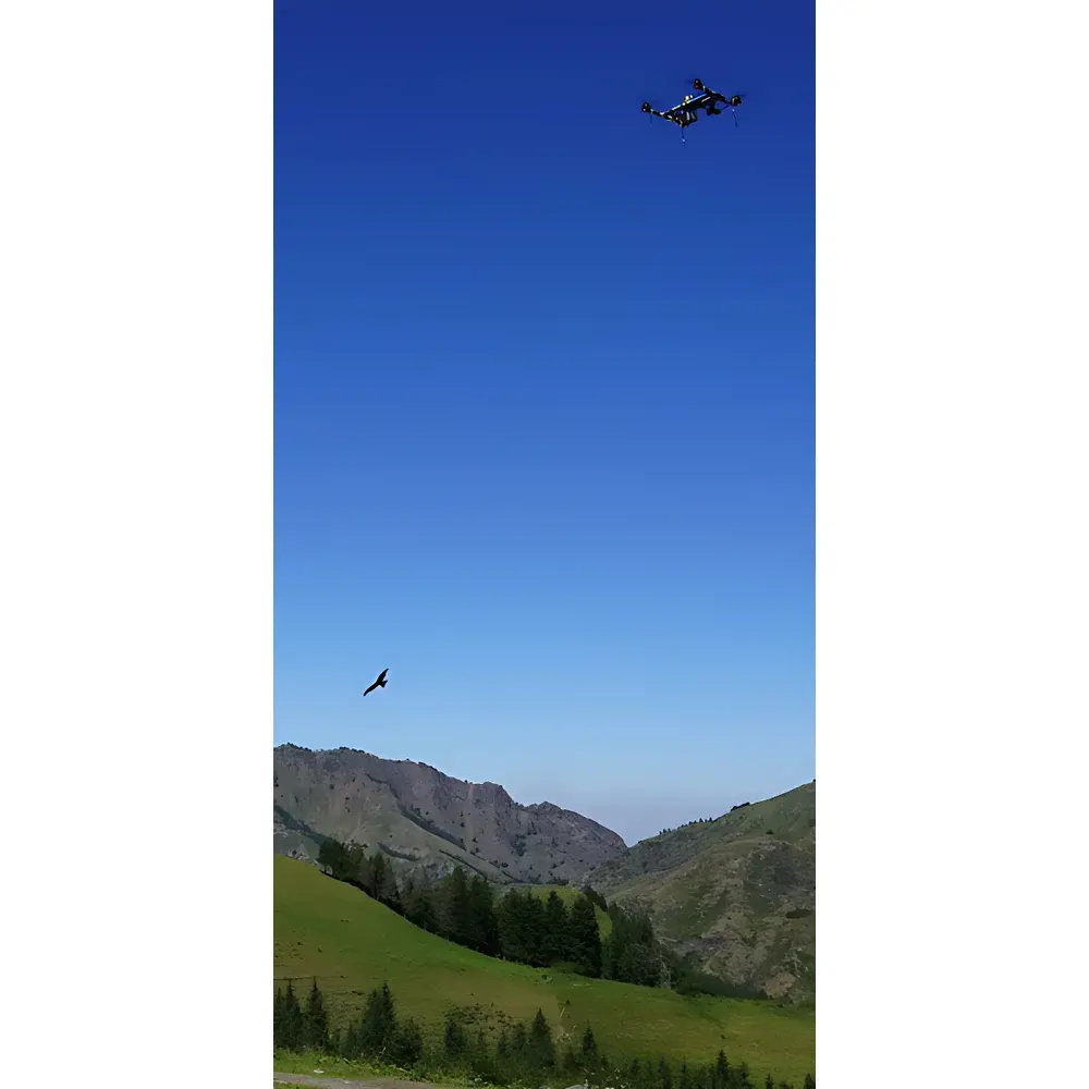
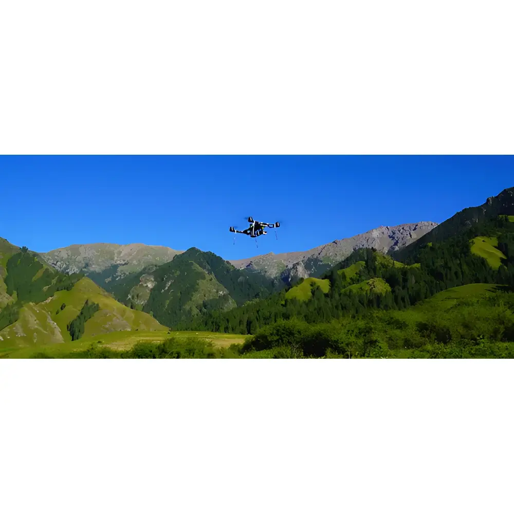
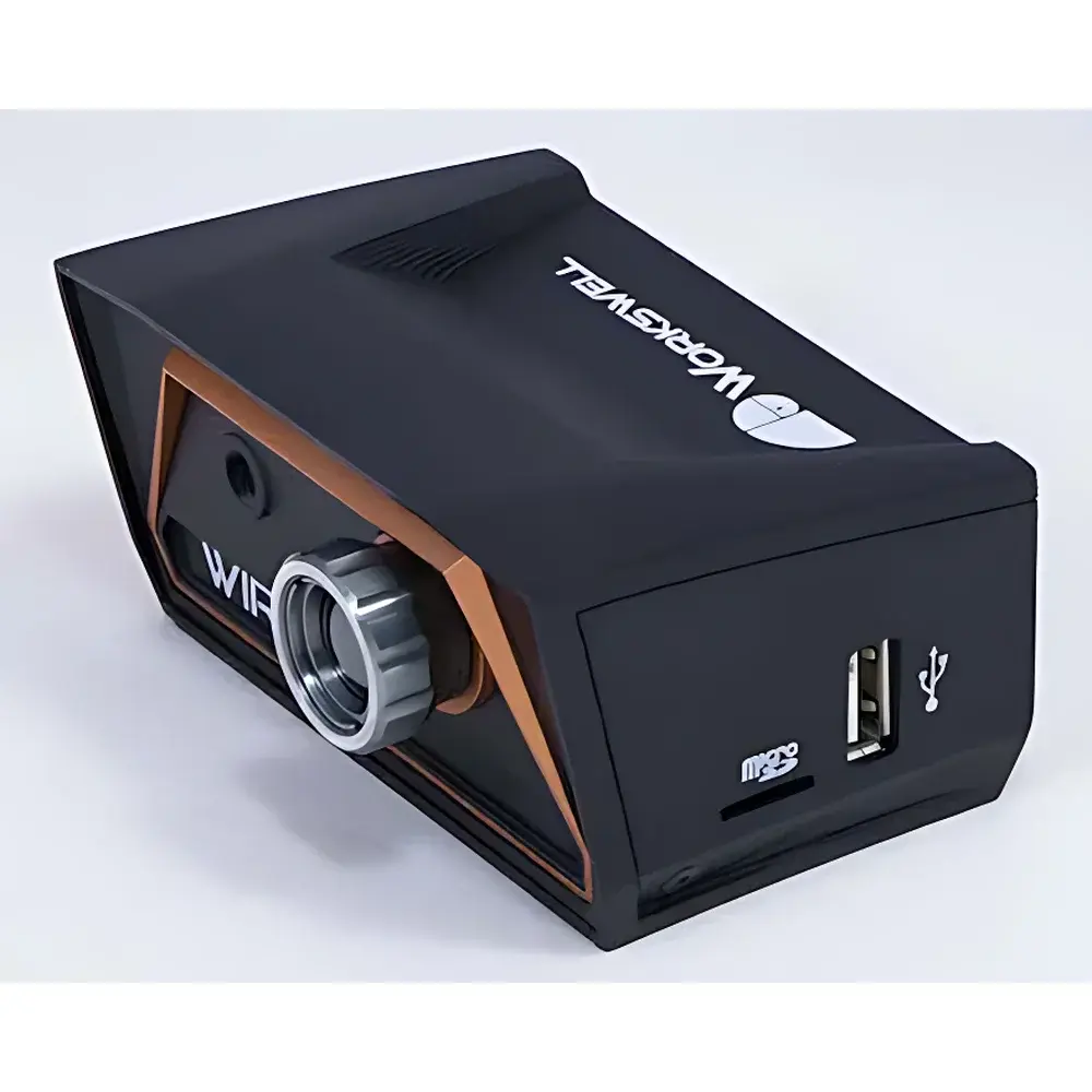
The EcoDrone UAS-4 is a professional-grade, quadcopter-based unmanned aerial system (UAS) engineered for high-fidelity ecological and environmental remote sensing. It integrates a calibrated long-wave infrared (LWIR) thermal imaging sensor (8–14 µm spectral band) with synchronized visible-light imaging and optional multispectral payload capability—enabling simultaneous acquisition of surface temperature distribution, RGB texture, and vegetation biophysical parameters. Designed around a lightweight, patent-protected airframe (CN ZL 2016 2 1103365.8), the platform adheres to ISO 18437-2 and ASTM E1933-19 standards for thermographic measurement in field-deployable systems. Its core architecture supports mission-critical environmental monitoring under GLP-aligned operational protocols—including traceable georeferencing, radiometric calibration metadata embedding, and time-synchronized multi-sensor data fusion.
Key Features
- Lightweight airframe: Dry weight 1.85 kg; standard takeoff weight 4.6 kg (including dual-axis stabilized gimbal, battery, and thermal-RGB payload); maximum allowable takeoff mass 8.0 kg
- Extended endurance: ≥50 min hover time (no payload); ≥45 min effective operational flight time with integrated thermal-RGB sensor at 10 m/s cruise speed
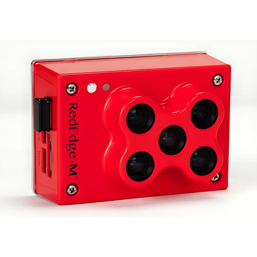
- Modular payload interface: Quick-release bay supporting hot-swappable sensors—thermal imager, 4K RGB camera (f/2.8, 22.6 mm equiv., 82° HFOV), RedEdge™ 5-band multispectral unit (Blue/Green/Red/Red Edge/NIR), or custom OEM payloads
- Dual GNSS navigation: High-precision GPS + BeiDou receiver with RTK-ready capability; barometric + GPS altitude hold; ultrasonic altimeter (≤1 cm accuracy within 10 m AGL)
- Flight autonomy: Pre-programmed waypoint navigation, area coverage mapping, orbit, follow-me (ground station dependent), and fail-safe functions including low-voltage return-to-home, signal-loss RTH, and emergency auto-landing
- Real-time telemetry & FPV: 5.8 GHz digital video downlink (800×480 display, ≤5 km range); 2.4 GHz DSSS remote control (10-channel, FCC-compliant 100 dBm EIRP, ≤2 km nominal / 5 km extended)
Sample Compatibility & Compliance
The UAS-4 is validated for in situ, non-contact measurement across heterogeneous natural surfaces—including crop canopies, forest stands, wetland sediments, bare soil, and freshwater bodies. Its thermal imager meets IEC 62906-5-2 requirements for uncooled microbolometer performance (NETD ≤50 mK, -10°C to +250°C dynamic range). All onboard sensors output geotagged, time-stamped data compliant with ISO 19115 metadata schema. The system supports audit-ready data workflows aligned with EPA Method 100.1 (remote thermal surveying) and FAO’s WaPOR framework for water productivity assessment. Optional RedEdge multispectral module delivers radiance-calibrated imagery traceable to NIST SRM 2036.
Software & Data Management
Ground control is executed via a ruggedized field laptop running proprietary EcoDrone Mission Planner software—compatible with Google Maps, Bing Maps, and Gaode (AutoNavi) basemaps. The suite enables mission planning with elevation-aware path optimization, real-time telemetry overlay (altitude, speed, battery voltage, GPS HDOP, ambient temperature), and post-flight log export in CSV/GeoJSON/KML formats. Thermal video streams are recorded with embedded radiometric metadata (emissivity, reflected apparent temperature, atmospheric transmittance), enabling pixel-wise temperature retrieval in third-party tools (e.g., FLIR Tools, ENVI, QGIS with Thermal Toolbox plugin). All firmware updates and sensor calibration files are digitally signed and version-controlled per ICH-GCP Annex 11 principles.
Applications
- Agricultural stress detection: Early identification of drought-induced stomatal closure, irrigation deficit, and heat stress via canopy temperature differentials (Tc-Ta)
- Crop phenotyping: Spatial mapping of NDVI, NDRE, and other vegetation indices from synchronized multispectral and thermal data
- Forest health assessment: Detection of bark beetle infestation, fire risk modeling via fuel moisture estimation, and post-fire burn severity classification
- Wetland hydrology: Surface temperature gradients indicating groundwater discharge zones and evapotranspiration partitioning
- Soil erosion monitoring: Thermal inertia mapping to infer surface crusting, compaction, and crust thickness
- Wildlife census: Nocturnal thermal detection of mammals and nesting birds against background terrain
- Natural reserve management: Boundary violation detection, illegal logging activity tracking, and habitat fragmentation analysis
FAQ
Is the thermal imager radiometrically calibrated out-of-the-box?
Yes—the LWIR sensor undergoes factory calibration against blackbody references across its full operating range (-10°C to +250°C) and outputs fully radiometric video streams with embedded calibration coefficients.
Can the system operate in regulatory-compliant BVLOS (beyond visual line of sight) missions?
The UAS-4 hardware supports BVLOS-capable avionics (dual GNSS, ADS-B In, redundant IMUs); however, operational authorization depends on local civil aviation authority regulations (e.g., EASA SAIL level, FAA Part 107 waiver, CAAC UOM approval).
What data formats are generated during thermal and multispectral flights?
Thermal: RADIOMETRIC TIFF (16-bit, with EXIF geotags and calibration metadata); Multispectral: RAW .TIF (12-bit, radiance units, per-band GeoTIFF with RPCs); RGB: 4K MP4 (H.264) + DNG stills (12MP, embedded XMP geotags).
Does the system support integration with ground-based sensor networks?
Yes—via optional RS-485/USB-C interfaces, the UAS-4 can synchronize timestamps with terrestrial weather stations, soil moisture probes (e.g., EC-5, TEROS-12), and handheld spectrometers (PlantPen, SpectraPen) for cross-platform validation.
Is FDA 21 CFR Part 11 compliance supported for regulated environmental monitoring programs?
While the UAS-4 itself is not a medical device, its data acquisition and storage architecture—featuring electronic signatures, audit trails, role-based access control (via optional server deployment), and immutable log archiving—meets foundational requirements for ALCOA+ data integrity in GLP/GMP-aligned ecological studies.