AZUP miniSAR ASAR2000 Airborne Synthetic Aperture Radar System
| Brand | AZUP |
|---|---|
| Origin | Imported |
| Manufacturer Type | Original Equipment Manufacturer (OEM) |
| Model | ASAR2000 |
| Operating Frequency Bands | Ku-band and X-band |
| Polarization | Vertical (V-V) |
| Antenna Type | Microstrip Array |
| Waveform Mode | Pulse-based with Frequency-Hopping Chirp Modulation |
| Range Resolution | 0.25 m / 0.5 m / 1 m / 2 m (selectable) |
| Swath Width | 1 km (typical) |
| Maximum Slant Range | 4 km |
| Dynamic Range | 16-bit ADC |
| Onboard Real-time Imaging Latency | ≤60 s |
| Data Storage Capacity | 512 GB SSD |
| Power Consumption | 70 W |
| Dimensions (L×W×H) | 35 × 18 × 20 cm |
| Weight | 2.5 kg |
| Warranty | 12 months including technical support |
Overview
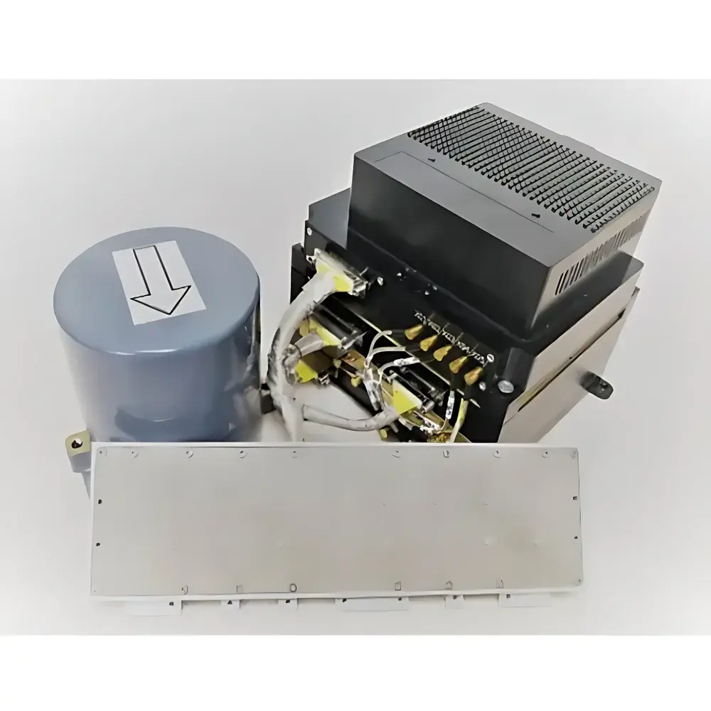
The AZUP miniSAR ASAR2000 is a compact, lightweight, and high-performance airborne synthetic aperture radar (SAR) system engineered for integration onto small unmanned aerial vehicles (UAVs) with payload capacities of ≥5 kg. Leveraging coherent pulse compression and frequency-hopping chirp modulation in Ku- and X-band, the ASAR2000 implements side-looking SAR geometry to generate high-fidelity, georeferenced imagery independent of ambient lighting or atmospheric conditions. Unlike optical or infrared sensors, SAR achieves consistent spatial resolution regardless of flight altitude—enabling reliable mapping at operational altitudes from 300 m to 3,000 m AGL. Its core architecture adheres to fundamental SAR signal processing principles: range compression via matched filtering, azimuth compression using Doppler history analysis, and motion compensation through tightly coupled GNSS/INS data fusion. Designed for scientific and operational remote sensing missions, the ASAR2000 delivers calibrated complex (I/Q) raw data alongside radiometrically corrected amplitude images—supporting both quantitative backscatter analysis and qualitative terrain interpretation.
Key Features
- Compact form factor (35 × 18 × 20 cm) and low mass (2.5 kg) optimized for Class II and III UAV platforms
- Dual-band operability (Ku-band and X-band) with vertical transmit–vertical receive (V-V) polarization for enhanced surface scattering characterization
- Selectably configurable range resolution: 0.25 m, 0.5 m, 1 m, or 2 m—achievable via bandwidth and pulse compression settings
- Real-time onboard imaging with end-to-end latency ≤60 seconds, enabling rapid situational awareness and mission feedback
- Fully integrated GNSS/INS navigation unit providing sub-meter position accuracy and angular rate data for precise motion compensation
- Onboard 512 GB solid-state storage supporting continuous raw data acquisition at sustained 16-bit depth
- Modular mechanical design: radar transceiver and navigation unit mounted internally; microstrip antenna externally mounted with shielded RF cabling
- Optional stabilized gimbal platform available for larger airframes to maintain antenna pointing stability during turbulence or maneuvering
Sample Compatibility & Compliance
The ASAR2000 is compatible with fixed-wing and multirotor UAVs meeting structural, power, and interface requirements—including 28 V DC input, RS-422/RS-232 telemetry links, and PPS-synchronized timing. It supports standard SAR data formats (e.g., CEOS Level 0, NITF 2.1) and outputs geocoded GeoTIFF and SLC (Single Look Complex) products compliant with ISO 19115 metadata conventions. While not certified under specific aviation regulatory frameworks (e.g., DO-178C or EASA ED-12B), its firmware architecture incorporates deterministic real-time scheduling and failsafe watchdog mechanisms aligned with DO-254 hardware design practices. All electromagnetic emissions conform to CISPR 22 Class B limits, and thermal management meets MIL-STD-810G environmental test profiles for vibration, shock, and temperature cycling.
Software & Data Management
The ASAR2000 operates with AZUP’s proprietary SAR acquisition and processing suite, which includes mission planning, real-time monitoring, and post-mission focusing workflows. Raw I/Q data are stored in binary format with embedded ephemeris and attitude logs, facilitating reproducible reprocessing using range-Doppler or ω-k algorithms. The software supports batch calibration against corner reflectors and distributed targets, enabling absolute radiometric calibration traceable to NIST-traceable reference standards. Data export interfaces include GDAL-compatible drivers and Python API bindings (via azup-sar-sdk), allowing integration into open-source GIS environments (QGIS, SNAP) and custom ML pipelines. Audit trails, user access logging, and encrypted storage comply with GLP-aligned data integrity requirements for environmental monitoring programs.
Applications
- Perennial vegetation mapping and biomass estimation in forest and agricultural ecosystems
- Surface deformation monitoring over subsidence-prone zones, mining areas, and volcanic terrains using differential interferometry (DInSAR)
- Coastal zone change detection—including shoreline evolution, wetland inundation, and oil spill delineation under cloud cover
- Post-disaster assessment of flood extent, landslide boundaries, and infrastructure damage in all-weather conditions
- Soil moisture retrieval via polarimetric decomposition and empirical dielectric modeling
- Glacier velocity tracking and snow water equivalent (SWE) estimation in alpine and polar regions
- Infrastructure surveillance—railway embankments, pipeline corridors, and dam integrity monitoring
FAQ
What UAV platforms are validated for ASAR2000 integration?
The system has been successfully deployed on DJI Matrice 300 RTK (with extended payload kit), WingtraOne GEN II, and custom VTOL platforms meeting 5 kg payload, 28 V DC, and GNSS/INS synchronization requirements.
Does the ASAR2000 support dual-polarization or full polarimetric operation?
No—the ASAR2000 is configured for single-channel V-V polarization. Full-pol or cross-pol capability requires hardware revision beyond ASAR2000 specifications.
Can raw SAR data be processed offline using third-party software?
Yes—binary raw data files contain complete metadata (timing, position, attitude, waveform parameters) and are compatible with GAMMA SAR, ROI_PAC, and ASF HyP3 processing chains.
Is the 16-bit dynamic range preserved throughout the signal chain?
Yes—16-bit ADC sampling is maintained from RF front-end through digital down-conversion and storage; no quantization loss occurs in onboard processing.
What level of geometric accuracy can be expected in final ortho-rectified products?
With high-accuracy GNSS/INS (RTK-grade), planimetric RMSE is typically ≤1.5 m; elevation accuracy depends on DEM quality and incidence angle, ranging from ±2 m to ±5 m.
Related Products