Cubert X20P-LIR Integrated Hyperspectral, LiDAR & Thermal Imaging System
| Brand | Cubert |
|---|---|
| Origin | Germany |
| Model | X20P-LIR |
| Spectral Range | 350–1000 nm (VIS-NIR) + 905 nm (LiDAR) + 7.5–13.5 µm (MWIR/LWIR) |
| Spatial Resolution | 1886 × 1886 pixels per hyperspectral cube |
| Spectral Channels | 325 (expandable) |
| Frame Rate | ≥2 cubes/s (1886 × 1886 pixels/cube) |
| Panchromatic Camera | 3.5 MP, synchronized with hyperspectral acquisition |
| Thermal IR Sensor | 640 × 512 pixels, ±1 °C absolute accuracy (blackbody-verified) |
| LiDAR | 905 nm solid-state, Class 1 eye-safe, 450 m max range (@80% reflectance), 2 cm ranging precision (1σ @ 20 m) |
| IFOV | 20 MP hyperspectral CMOS + integrated Vox IR + solid-state LiDAR + 3.5 MP panchromatic |
| IMU Accuracy | 0.008° (roll/pitch/yaw) |
| Onboard Storage | Dual SSD (8 GB + 512 GB) |
| Mounting | UAV-optimized, gimbal-compatible, ground-deployable |
Overview
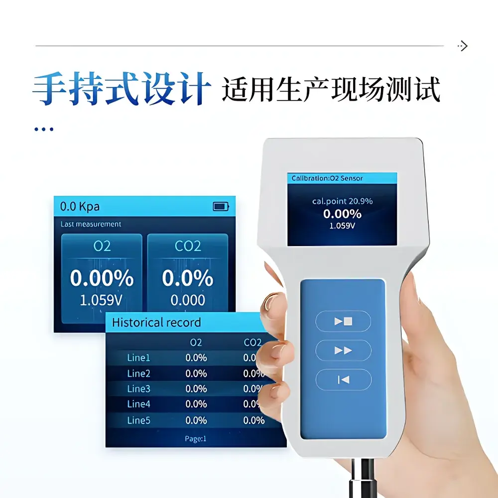
The Cubert X20P-LIR is a field-deployable, multi-sensor remote sensing platform engineered for simultaneous, spatially and temporally co-registered acquisition of hyperspectral reflectance, active topographic LiDAR, and thermal infrared emission data. Unlike scanning or push-broom systems, the X20P-LIR employs snapshot (frame-based) spectral imaging based on patented Fourier-transformed light-field optics — enabling distortion-free, motion-robust capture without mechanical scanning components. Its core architecture integrates four physically distinct sensors into a single rigid-optical housing: a 20 MP monolithic CMOS hyperspectral imager (350–1000 nm), a 3.5 MP panchromatic camera, a 905 nm solid-state LiDAR module compliant with IEC 60825-1 Class 1 safety standards, and a high-sensitivity uncooled microbolometer array (640 × 512) operating across the 7.5–13.5 µm atmospheric window. All modalities are hardware-triggered and time-synchronized to sub-millisecond precision via an embedded real-time controller, ensuring pixel-level geometric registration critical for quantitative fusion analytics in environmental monitoring, precision agriculture, and infrastructure inspection.
Key Features
- Snapshot hyperspectral imaging: 325 spectral bands at 1886 × 1886 spatial resolution per cube, acquired in ≤500 ms — eliminates motion blur and scan-line misregistration inherent in line-scanning systems
- Fully integrated sensor suite: Co-aligned VIS-NIR hyperspectral, panchromatic, thermal IR, and LiDAR within a single optical bench — no external alignment calibration required
- High-fidelity thermal radiometry: Uncooled VOx microbolometer with NUC (non-uniformity correction) and blackbody-traceable calibration; full-frame radiometric accuracy ±1 °C (validated per ASTM E1933-19)
- Solid-state LiDAR: Eye-safe 905 nm source with 2 cm ranging precision (1σ at 20 m), 450 m maximum range, and integrated IMU-assisted point cloud georeferencing
- Onboard real-time processing: Embedded ARM-based control unit with dual SSD storage (8 GB boot + 512 GB acquisition), GNSS/IMU fusion (0.008° attitude resolution), and configurable trigger logic for UAV autopilot integration
- Modular deployment: Designed for fixed-wing and multirotor UAVs (payload ≤3.2 kg), yet equally operational in tripod-mounted terrestrial surveys or vehicle-mounted mobile mapping configurations
Sample Compatibility & Compliance
The X20P-LIR operates without sample preparation and is inherently non-contact — suitable for dynamic, large-area, or inaccessible surfaces including vegetation canopies, soil, building façades, industrial assets, and geological outcrops. Its spectral coverage spans key diagnostic regions: chlorophyll absorption (400–700 nm), water and cellulose features (900–1000 nm), thermal emissivity signatures (7.5–13.5 µm), and structural topography (LiDAR). The system complies with ISO 17025 traceability requirements for radiometric calibration (NIST-traceable blackbody sources used during factory calibration), meets CE marking directives for electromagnetic compatibility (2014/30/EU) and low-voltage safety (2014/35/EU), and supports audit-ready metadata logging aligned with FAIR data principles. While not FDA-regulated, its data structure and timestamping meet GLP/GMP documentation expectations for environmental and agronomic field trials.
Software & Data Management
Cubert’s proprietary HyperSpectra Studio software provides end-to-end workflow support: raw cube ingestion, radiometric and geometric correction (including IMU-based orthorectification), spectral library matching (USGS, ECOSTRESS, JPL), LiDAR point cloud classification (via PDAL integration), and thermal emissivity modeling (using Planck’s law inversion with atmospheric transmittance compensation). All data exports adhere to HDF5 and GeoTIFF formats with embedded GDAL-compliant georeferencing tags. The system logs full audit trails — including sensor temperature, IMU residuals, GNSS fix quality, and calibration validity timestamps — satisfying 21 CFR Part 11 requirements for electronic records when deployed under validated SOPs. Raw data is stored in lossless format; processed derivatives support ENVI, QGIS, Python (hyperspy, scikit-image), and MATLAB workflows.
Applications
- Precision Agriculture: Simultaneous detection of nitrogen stress (VIS-NIR), canopy water content (970 nm band depth), plant height variation (LiDAR DSM), and canopy temperature anomalies (thermal IR) for irrigation optimization and yield forecasting
- Environmental Monitoring: Wetland delineation using spectral-thermal-LiDAR fusion, invasive species mapping via spectral unmixing, and methane plume localization (leveraging thermal contrast and surface elevation change detection)
- Infrastructure Inspection: Roof moisture mapping (thermal + NIR reflectance), solar panel defect identification (thermal hot-spot + spectral reflectance shift), and bridge deck delamination assessment (LiDAR micro-topography + thermal effusivity)
- Geological Surveying: Mineral identification (Al-OH, Fe-OH, carbonate features in SWIR-extended variants), regolith thickness estimation (LiDAR + thermal inertia modeling), and volcanic fumarole activity monitoring (thermal IR time-series)
- Forestry & Carbon Accounting: Biomass estimation via LiDAR height metrics fused with hyperspectral LAI and chlorophyll indices, plus fire risk assessment using live/dead fuel moisture inferred from thermal emissivity and NIR water band ratios
FAQ
Is the X20P-LIR compatible with DJI Matrice 300 RTK and Autel EVO Max 4T platforms?
Yes — the system includes standardized MavLink and UART interfaces for seamless integration with PX4- and ArduPilot-based flight controllers. Mechanical mounting kits and vibration-damping gimbals are available as optional accessories.
Can spectral calibration be performed in-field?
No — factory calibration is performed using NIST-traceable integrating spheres and blackbodies. However, onboard dark-current and flat-field correction routines run automatically before each acquisition, and user-defined reference panels (e.g., Spectralon) can be used for relative reflectance normalization.
What is the maximum operational altitude above ground level (AGL)?
The system is rated for continuous operation up to 5000 m AGL. At higher altitudes, thermal IR sensitivity decreases due to reduced atmospheric downwelling radiance; LiDAR range remains nominal up to 450 m slant range.
Does the thermal sensor require cryogenic cooling?
No — it uses a thermally stabilized uncooled VOx microbolometer, eliminating the need for Stirling coolers or vacuum housings, thereby enhancing reliability and reducing power consumption (<12 W typical).