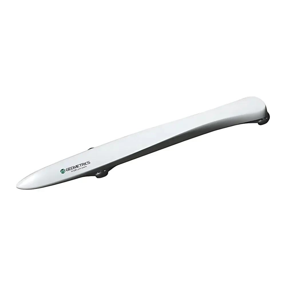
MagArrow High-Resolution Airborne Scalar Magnetometer System
| Brand | MagArrow |
|---|---|
| Model | MagArrow |
| Type | Airborne Cesium Vapor Scalar Magnetometer |
| Operating Principle | Laser-Pumped Cesium Vapor (Non-Radioactive ¹³³Cs) |
| Measurement Range | 20,000–100,000 nT |
| Gradient Tolerance | 10,000 nT/m |
| Sampling Rate | 1000 Hz (GPS-synchronized 1 PPS) |
| Heading Error | ±5 nT @ 360° |
| Integrated Sensors | High-Accuracy MFAM Magnetometer, Dual-Frequency GNSS Receiver, Tactical-Grade IMU, Radar Altimeter |
| Data Logging | Onboard SD card with WiFi download capability |
| UAV Compatibility | Compatible with drones ≥3 kg payload capacity |
| Maximum Survey Speed | 10 m/s |
| Spatial Sampling Resolution | 1 cm at nominal speed |
| Power Supply | Integrated rechargeable Li-ion battery system |
| Environmental Rating | IP67-rated enclosure |
Overview
The MagArrow is a purpose-engineered, high-resolution airborne scalar magnetometer system designed for rapid, high-fidelity magnetic field mapping in challenging or inaccessible terrain. It operates on the principle of laser-pumped cesium vapor magnetometry—a non-radioactive, optically pumped technique utilizing the Zeeman splitting of the ¹³³Cs atomic ground-state hyperfine transition. This method delivers true scalar measurements (total field magnitude, |B|) with exceptional stability, low drift, and immunity to orientation-induced errors—critical for UAV-based surveys where platform attitude varies dynamically. Unlike vector magnetometers, the MagArrow measures only the absolute magnitude of Earth’s magnetic field, eliminating heading-dependent bias and enabling robust performance during aggressive maneuvering or low-altitude flight. Its compact, fully integrated architecture includes a microfabricated fluxgate-assisted magnetometer (MFAM), dual-frequency GNSS receiver, tactical-grade inertial measurement unit (IMU), and precision radar altimeter—all synchronized to GPS 1 pulse-per-second (1PPS) timing for sub-microsecond temporal alignment. The system is optimized for operation at altitudes as low as 1–5 m above ground level (AGL), supporting centimeter-scale spatial sampling at survey speeds up to 10 m/s.
Key Features
- True scalar measurement via laser-pumped cesium vapor technology—no orientation calibration required
- 1000 Hz continuous sampling rate, hardware-synchronized to GPS 1PPS for precise time-tagging and multi-sensor fusion
- Integrated radar altimeter enabling real-time terrain-following flight paths and consistent sensor-to-ground distance control
- Self-contained operation: onboard GNSS, IMU, data logger (SD card), and rechargeable power system eliminate external tethering
- WiFi-enabled post-flight data retrieval; no physical cable connection required for data offload
- Lightweight, ruggedized IP67 enclosure (<1.8 kg) compatible with commercial and industrial UAV platforms rated for ≥3 kg payload
- Gradient tolerance of 10,000 nT/m ensures stable operation in highly anomalous fields near UXO, pipelines, or geological contacts
Sample Compatibility & Compliance
The MagArrow is not sample-dependent in the conventional laboratory sense; rather, it interfaces directly with geophysical survey environments—including unconsolidated sediments, forest canopies, wetlands, tundra, and culturally sensitive archaeological zones—where ground access is restricted or environmentally prohibited. Its non-contact, passive sensing modality complies with international heritage preservation protocols (e.g., ICOMOS principles) and environmental regulatory frameworks governing protected lands (e.g., U.S. NHPA Section 106, EU Habitats Directive). From a metrological standpoint, the system adheres to ISO/IEC 17025 traceability requirements when operated with calibrated reference stations and validated processing workflows. All firmware and embedded software are developed under DO-178C Level C guidelines for airborne instrumentation safety integrity, and raw data output conforms to SEG-Y Rev. 2.1 and GeoTIFF georeferenced raster standards for interoperability with industry-standard GIS and geophysical interpretation suites.
Software & Data Management
Data acquisition, real-time QC, and post-processing are supported through the vendor-agnostic MagArrow Data Suite—a cross-platform application built on Qt and Python (PyQt5, NumPy, SciPy, GDAL). Raw binary telemetry (magnetometer, GNSS, IMU, altimeter) is recorded with nanosecond timestamp resolution and annotated with full sensor health diagnostics. The suite provides automated noise filtering (adaptive Kalman smoothing), diurnal correction using concurrent base station logs, and gradient compensation algorithms compliant with IEEE Std 1641-2018 for magnetic anomaly quantification. Export options include ASCII XYZ grids, SEG-Y for time-series analysis, and OGC-compliant WMS/WFS endpoints for enterprise integration. Audit trails, user authentication, and electronic signatures meet FDA 21 CFR Part 11 and GLP/GMP documentation requirements for regulated environmental site assessments.
Applications
- Unexploded Ordnance (UXO) detection and clearance: high-sensitivity identification of ferrous and non-ferrous munitions at depths exceeding 3 m in heterogeneous soils
- Archaeological prospection: non-invasive mapping of buried foundations, ditches, kilns, and metallurgical features across large-area surveys (>10 km²/day)
- Geological mapping: delineation of igneous intrusions, fault zones, and mineralized trends via regional magnetic gradient analysis
- Infrastructure assessment: localization of abandoned mine shafts, subsurface pipelines, storage tanks, and reinforced concrete structures
- Environmental baseline studies: pre-construction magnetic characterization for EIA compliance and long-term monitoring programs
FAQ
Does the MagArrow require external base station correction for diurnal drift?
Yes—while the sensor exhibits low intrinsic drift (<0.02 nT/hour), high-precision surveys mandate concurrent recording from a stationary base station to remove external geomagnetic variations.
Can MagArrow data be integrated with LiDAR or multispectral payloads?
Yes—via common GNSS/IMU time synchronization and ROS-compatible message protocols (e.g., sensor_msgs/MagneticField, nav_msgs/Odometry), enabling fused geospatial datasets.
What is the minimum recommended flying altitude for optimal signal-to-noise ratio?
For most applications, 2–4 m AGL balances resolution, coverage, and noise floor; lower altitudes increase sensitivity but require radar altimeter calibration for terrain fidelity.
Is firmware update capability available over-the-air?
No—firmware updates require secure USB connection and cryptographic signature verification to maintain system integrity per IEC 62443-3-3 requirements.
How is sensor calibration performed and documented?
Factory calibration includes temperature-compensated scale factor, offset, and non-orthogonality matrix characterization; end-user field calibration uses figure-eight maneuvers and known magnetic reference points, logged automatically in the audit trail.


