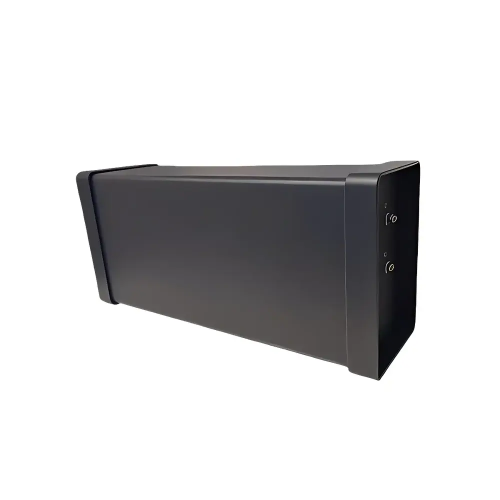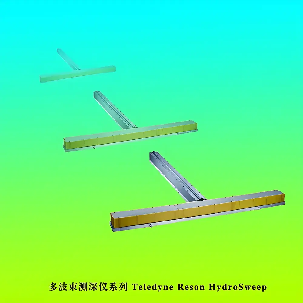
Teledyne Reson HydroSweep Multibeam Echosounder Series
| Origin | Denmark |
|---|---|
| Manufacturer Type | Authorized Distributor |
| Origin Category | Imported |
| Model | Teledyne Reson HydroSweep |
| Price | USD 100,000+ (FOB) |
| Frequency Bands | 14–16 kHz (deep-water), 24–30 kHz (mid-water), 52–62 kHz (shallow/mid-water) Chirp |
| Depth Ranges | 5–2,000 m, 5–7,000 m, 10–11,000 m |
| Beam Count | Up to 960 depth samples per ping (via high-order beamforming) |
| Ping Rate | Up to 40 Hz (4-beam multiping), 30 Hz (3-beam), 10 Hz (2-beam) |
| Vertical Resolution (Water Column) | 6 cm |
| Angular Resolution | Along-track: 0.5°/1°/2° |
| Across-track | 1°/1.5°/2°/3° |
| Depth Accuracy | [0.4 m + 0.25% of depth] at 0°–45° |
| alternate accuracy spec | [0.5 m + 0.2%], [0.5 m + 0.3%], [0.5 m + 0.6%] respectively |
| Data Outputs | Simultaneous bathymetry, backscatter intensity, sidescan imagery, and water column data |
Overview
The Teledyne Reson HydroSweep Multibeam Echosounder Series represents a modular, mission-adaptable platform engineered for high-fidelity seafloor mapping across the full ocean depth spectrum—from coastal zones to hadal trenches. Based on coherent chirp sonar technology and advanced digital beamforming, the system operates across three distinct frequency bands (14–16 kHz, 24–30 kHz, and 52–62 kHz), enabling optimized performance in deep-ocean, mid-water, and shallow-water environments. Unlike conventional single-beam or fixed-frequency multibeam systems, HydroSweep leverages real-time adaptive signal processing to deliver synchronized outputs: centimeter-level bathymetric point clouds, calibrated backscatter intensity maps for sediment classification (e.g., sand vs. mud vs. rock), georeferenced sidescan imagery for feature detection, and high-resolution water column data for plume or biomass analysis. Its architecture conforms to IHO S-44 Special Order and S-102 hydrographic survey standards, supporting rigorous QA/QC workflows required by national hydrographic offices, offshore energy operators, and academic marine geoscience programs.
Key Features
- Triple-band chirp transducer options: 14–16 kHz (ultra-deep, up to 11,000 m), 24–30 kHz (broad mid-depth coverage), and 52–62 kHz (high-resolution shallow-water mapping with sub-meter lateral resolution)
- Real-time high-order beamforming delivering up to 960 independent depth samples per ping, with 320 simultaneously formed receive beams
- Multi-ping acquisition architecture: configurable 2-, 3-, or 4-beam interleaved pinging at sustained rates of 10 Hz, 30 Hz, or 40 Hz—maximizing swath density without sacrificing positional fidelity
- Integrated water column profiling with 6 cm vertical sampling resolution across all 320 beams, supporting methane seep detection, fish school quantification, and thermocline characterization
- Hardware-synchronized GNSS (GPS/GLONASS/Galileo), motion sensor (IMU), and sound velocity profiler (SVP) inputs for rigorous uncertainty propagation modeling per IHO S-44 Annex B
- Ruggedized titanium-housed transducers rated to 11,000 m pressure (1,100 bar), compliant with ISO 19901-6 for subsea equipment environmental qualification
Sample Compatibility & Compliance
The HydroSweep series is designed for integration aboard research vessels, hydrographic survey ships, AUVs (e.g., Kongsberg HUGIN, Teledyne Gavia), and USVs. It supports standard NMEA 0183/2000, UTC time synchronization, and PPS-triggered acquisition. All firmware and data formats comply with international hydrographic data standards: S-100 (IHO), S-102 (bathymetry), S-104 (backscatter), and S-111 (water column). System calibration procedures follow ISO 25899 and ASTM D6459 for acoustic transducer performance verification. Data provenance and audit trails meet GLP-aligned requirements for regulatory submissions to agencies including NOAA, UKHO, and the European Maritime Safety Agency (EMSA).
Software & Data Management
HydroSweep systems operate with Teledyne RESON’s PDS2020 acquisition and processing suite, which provides real-time quality control, motion-sensor fusion, ray-bending correction (using real-time SVP input), and automated outlier rejection. Processed data exports natively to industry-standard formats: XYZ ASCII, LAS/LAZ (for point cloud interoperability), GeoTIFF (sidescan/backscatter), NetCDF4 (water column), and S-102/S-104 compliant HDF5. The software supports FDA 21 CFR Part 11-compliant electronic signatures and audit logging when deployed in regulated offshore inspection contexts. Raw data is stored in RESON’s proprietary .all format—fully documented, open-binary, and supported by third-party libraries (e.g., MB-System, QPS Qimera, CARIS HIPS).
Applications
- High-accuracy IHO Special Order bathymetric surveys for nautical charting and maritime boundary definition
- Seafloor habitat mapping and benthic classification using calibrated backscatter angular response (BSAR) analysis
- Subsea infrastructure inspection (pipelines, cables, platforms) with sub-meter positional repeatability
- Geohazard assessment—including landslide identification, fault scarp delineation, and volcanic cone morphometry
- Environmental baseline studies and long-term monitoring of coastal erosion, dredging impacts, and coral reef topography
- Support for autonomous underwater vehicle (AUV) navigation and SLAM-based simultaneous localization and mapping
FAQ
What are the primary differences between HydroSweep MD/50, MD/30, and DS models?
The MD/50 operates at 52–62 kHz for high-resolution shallow-to-mid water mapping (5–2,000 m); the MD/30 uses 24–30 kHz for balanced performance in continental shelf environments (5–7,000 m); the DS variant employs 14–16 kHz for full-ocean-depth capability (10–11,000 m), featuring extended pulse length and enhanced signal-to-noise ratio.
Does HydroSweep support real-time water column imaging?
Yes—every ping captures full water column echo envelopes with 6 cm vertical binning across all 320 beams, enabling detection of gas flares, biological layers, and suspended sediment plumes without requiring auxiliary sensors.
How is positional uncertainty managed during high-speed survey operations?
The system integrates raw GNSS observables, IMU angular rates, and dynamic heave compensation into a tightly coupled Kalman filter within PDS2020, propagating uncertainties per IHO S-44 Annex B to generate statistically valid horizontal and vertical error ellipses for every depth sample.
Can HydroSweep data be imported directly into CARIS or QPS software?
Yes—PDS2020 exports native S-102/S-104 files fully compatible with CARIS HIPS & SIPS v11+, QPS Qimera v2.5+, and MB-System v5.7+. Raw .all files are also supported via open-source converters.
Is factory calibration traceable to national metrology institutes?
All transducers undergo end-to-end calibration at Teledyne RESON’s DK-ISO/IEC 17025-accredited facility in Slagelse, Denmark, with traceability to DTU Space (Danish Metrology Institute) for acoustic pressure, timing, and angular response.