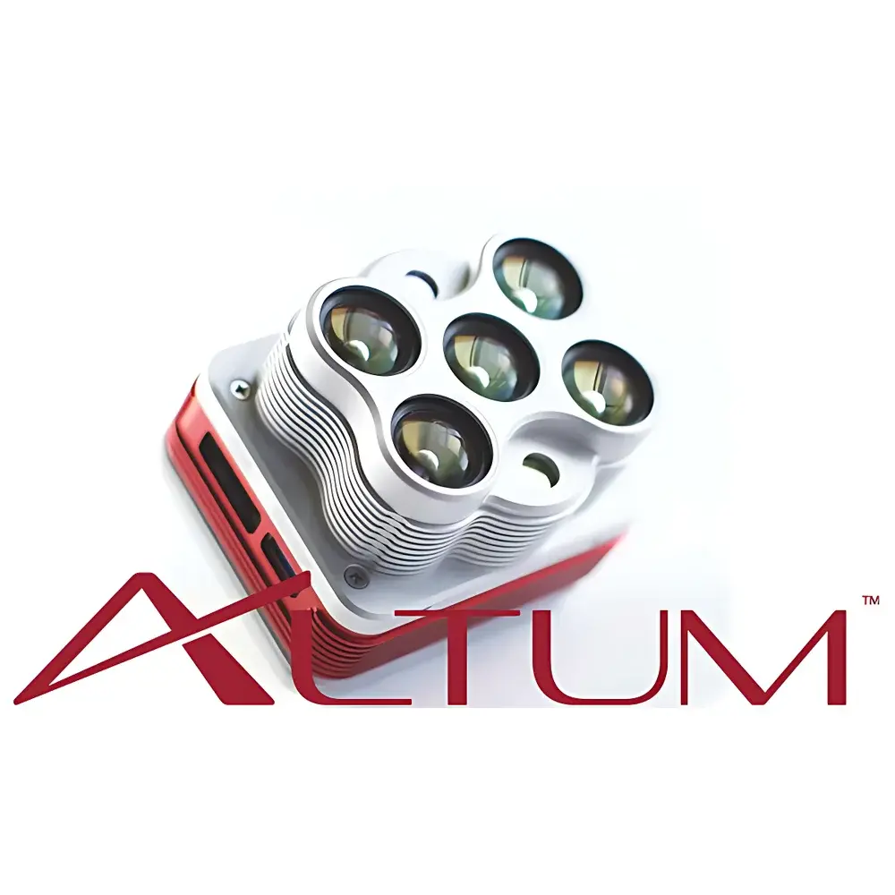
MicaSense Altum Multispectral, Thermal, and RGB Integrated Sensor
| Brand | MicaSense |
|---|---|
| Model | Altum |
| Sensor Type | Integrated Multispectral + LWIR Thermal + RGB Imaging System |
| Spectral Bands | 5 Discrete Multispectral (Blue, Green, Red, Red Edge, NIR) + Uncooled Microbolometer Thermal (11 µm) |
| Thermal Resolution | 160 × 120 px |
| Multispectral Resolution | 2064 × 1544 px per band (3.2 MP × 5) |
| Pixel Size | 3.45 µm (MS), 12 µm (LWIR) |
| FOV (MS) | 48° × 36.8° |
| FOV (Thermal) | 57° × 44.4° |
| GSD @ 120 m | 5.2 cm (MS), 81 cm (Thermal) |
| GSD @ 60 m | 2.1 cm (MS), 41 cm (Thermal) |
| Thermal Sensitivity | <50 mK |
| Output Format | Radiometrically Calibrated 16-bit TIFF |
| Storage Interface | USB 2.0 (up to 128 GB removable flash) |
| Weight | 357 g |
| Dimensions | 82 mm × 67 mm × 64.5 mm |
| Shutter | Global Shutter (Circular Aperture) |
| Data Interface Options | Ethernet or UART for real-time camera control and telemetry |
| Compliance | Designed for ASTM E2912-23 (Aerial Remote Sensing), ISO 18436-3 (Condition Monitoring), and compatible with FDA 21 CFR Part 11–compliant workflows when deployed in GLP/GMP agricultural research environments |
Overview
The MicaSense Altum is an industrial-grade, synchronized tri-sensor imaging platform engineered for precision agriculture, environmental monitoring, and scientific remote sensing from unmanned aerial systems (UAS). Unlike conventional multispectral-only or thermal-only payloads, the Altum integrates three physically co-registered optical paths—five-band narrowband multispectral, uncooled long-wave infrared (LWIR) thermal, and full-color RGB—into a single, rigidly aligned optical architecture. This design ensures sub-pixel spatial registration (<0.5 pixel RMS misalignment) across all spectral and thermal data streams without post-acquisition software co-registration. The system operates on the principle of simultaneous capture: each exposure triggers concurrent acquisition across all six channels (five multispectral bands + thermal), eliminating temporal parallax and enabling true multi-modal phenotyping. Its global shutter design—implemented via a circular aperture geometry—eliminates motion-induced skew and rolling shutter artifacts common in CMOS-based drone cameras, making it suitable for high-speed flight platforms operating at velocities up to 15 m/s. The integrated DLS2 (Downwelling Light Sensor 2) unit combines irradiance measurement, solar zenith/azimuth calculation, and GPS time synchronization into a single compact module, delivering radiometrically traceable illumination metadata essential for absolute reflectance calibration and cross-flight dataset normalization.
Key Features
- Simultaneous capture of five discrete multispectral bands (Blue: 475 nm ±10 nm, Green: 560 nm ±10 nm, Red: 668 nm ±5 nm, Red Edge: 717 nm ±5 nm, NIR: 840 nm ±20 nm) and calibrated LWIR thermal imagery (11 µm ±3 µm)
- Radiometric calibration performed at factory level using NIST-traceable standards; supports repeatable, quantitative measurements across deployments
- Narrowband interference filters with <2% out-of-band transmission ensure high spectral fidelity and minimal crosstalk between adjacent bands
- Global shutter operation with mechanical synchronization eliminates geometric distortion across varying UAV platform dynamics
- USB 2.0 host interface supporting hot-swappable, high-capacity (up to 128 GB) removable storage—enabling extended flight durations without SD card swaps
- Real-time configuration and telemetry via Ethernet or UART interface; supports external trigger input and status feedback integration with autopilot systems
- Compact form factor (82 × 67 × 64.5 mm) and low mass (357 g) optimized for Class I and II small UAS platforms including DJI Matrice 300 RTK and custom VTOL airframes
Sample Compatibility & Compliance
The Altum is designed for outdoor, non-contact, wide-area surface characterization under variable solar illumination conditions. It requires no sample preparation and is compatible with vegetative canopies, soil surfaces, water bodies, and built infrastructure. Its spectral response aligns with established vegetation indices defined in ASTM E2912-23 (Standard Practice for Remote Sensing of Vegetation) and supports derivation of NDVI, NDRE, CIrededge, and other biophysical parameters per ISO 18436-3 Annex B. Radiometric outputs comply with FAO’s WaPOR framework requirements for evapotranspiration modeling. When deployed in regulated agricultural research settings—including those subject to Good Laboratory Practice (GLP) or Good Manufacturing Practice (GMP)—the Altum’s timestamped, checksummed 16-bit TIFF output and DLS2-derived irradiance logs support audit-ready data provenance. While the sensor itself does not carry FDA certification, its data structure and metadata schema are compatible with 21 CFR Part 11–compliant LIMS and image processing pipelines when used with validated software tools.
Software & Data Management
Altum generates radiometrically corrected, geotagged 16-bit TIFF files containing raw DN values alongside embedded metadata (GPS position, IMU attitude, DLS2 irradiance, solar angle, exposure settings). These files are natively supported by photogrammetry platforms including Pix4Dmapper, Agisoft Metashape, and DroneDeploy. The MicaSense Atlas cloud platform provides automated orthomosaic generation, index mapping (e.g., NDVI heatmaps), and time-series analytics with change detection algorithms. For local processing, the open-source Python library altum-py enables batch calibration, band alignment verification, and custom index computation. All outputs retain full bit-depth integrity—no compression or quantization loss—ensuring compatibility with third-party spectral analysis tools such as ENVI, QGIS with Semi-Automatic Classification Plugin (SCP), and MATLAB-based hyperspectral toolboxes. Firmware updates and configuration management are handled through the MicaSense Console desktop application, which logs all parameter changes with timestamps for version control and regulatory traceability.
Applications
- Precision Agriculture: High-resolution crop health assessment, irrigation scheduling via canopy temperature differentials (CWSI), nitrogen use efficiency mapping, and early stress detection prior to visible symptom onset
- Ecological Monitoring: Forest canopy structure analysis, invasive species delineation, wetland hydroperiod mapping, and post-fire regrowth tracking
- Environmental Science: Soil moisture estimation through thermal inertia modeling, urban heat island quantification, and coastal algal bloom detection
- Research & Development: Phenotyping trials in controlled-environment agriculture (CEA), genotype-by-environment interaction studies, and validation of satellite-derived vegetation products (e.g., Sentinel-2, Landsat 8/9)
- Infrastructure Inspection: Thermal leak detection in solar farms, pavement temperature profiling for road condition assessment, and rooftop insulation evaluation
FAQ
Does the Altum require external calibration targets during flight?
No. The integrated DLS2 sensor continuously measures downwelling irradiance and solar geometry, enabling absolute reflectance calibration without panel-based correction—though empirical reflectance panels are recommended for highest-accuracy validation in critical applications.
Can thermal and multispectral data be processed together in a single workflow?
Yes. The hardware-level co-registration allows direct fusion of thermal and spectral datasets—for example, computing water stress indices like Crop Water Stress Index (CWSI) that combine stomatal conductance proxies (NDVI) with canopy temperature gradients.
Is the Altum compatible with RTK/PPK geotagging solutions?
Yes. It accepts external GNSS position and orientation inputs via UART or Ethernet, enabling centimeter-level georeferencing when paired with RTK-enabled flight controllers or PPK post-processing workflows.
What is the maximum effective altitude for reliable GSD performance?
At 120 m AGL, ground sampling distance is 5.2 cm for multispectral and 81 cm for thermal. For thermal anomaly detection requiring ≥3×3 pixel resolution, operational ceiling is typically limited to 60–80 m depending on target size and emissivity contrast.
Does the Altum support onboard image stitching or real-time index calculation?
No. It records raw, unprocessed frames only. All orthorectification, mosaicking, and index derivation occur in post-processing to preserve data integrity and enable reproducible, auditable analysis pipelines.
Related Products