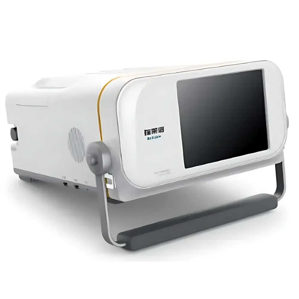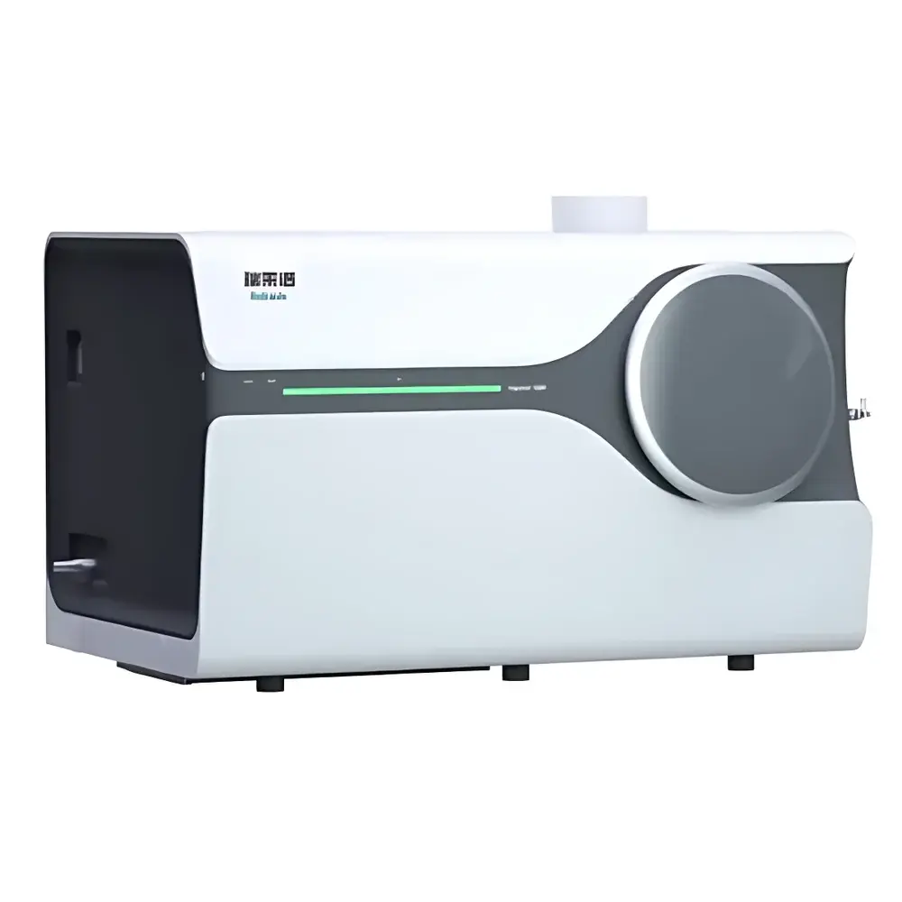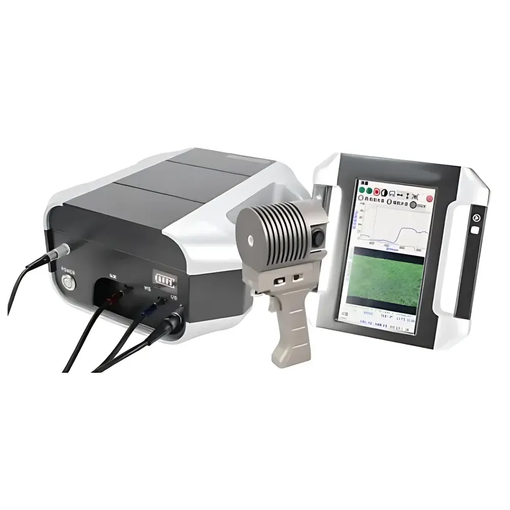
Auniontech iSpecField-NIR-HRs-AUT Portable Field Spectroradiometer
| Brand | Auniontech |
|---|---|
| Origin | Shanghai, China |
| Model | iSpecField-NIR-HRs-AUT |
| Spectral Range | 200–1700 nm |
| Wavelength Accuracy | ±0.5 nm |
| Wavelength Repeatability | ±0.1 nm |
| Spectral Resolution | ≤1 nm (200–1000 nm), ≤3 nm (1000–1700 nm) |
| Spectral Sampling Interval | 0.5 nm |
| Detector | 2048-pixel BT-CCD + 512-pixel TE-cooled InGaAs |
| Minimum Integration Time | 20 µs |
| FOV | 8° (optional 4°/5°/10°/15° lenses or 25° fiber probe) |
| GPS | Integrated |
| Camera | 12 MP auto-focus |
| Data Storage | 64 GB internal |
| Battery Life | 4–5 h |
| Weight | ≤5.5 kg |
| Compliance | ASTM E275, ISO 9001, USGS spectral library compatible |
| Software | FieldPro v3.2 with ENVI export, FDA 21 CFR Part 11 audit trail optional |
Overview
The Auniontech iSpecField-NIR-HRs-AUT is a high-resolution portable field spectroradiometer engineered for quantitative reflectance, radiance, and irradiance measurements across the ultraviolet–visible–near-infrared (UV-VNIR-SWIR) spectrum (200–1700 nm). It operates on the principle of fixed-grating dispersive spectroscopy, utilizing a dual-detector architecture—comprising a back-thinned CCD (2048 pixels) for the UV-VNIR range and a thermoelectrically cooled InGaAs array (512 pixels) for the SWIR range—to ensure seamless spectral continuity, high signal-to-noise ratio, and radiometric stability under variable ambient conditions. Designed for rigorous field deployment, the instrument integrates optical, geometric, and geospatial sensing modalities into a single handheld platform: real-time GPS-tagged spectral acquisition, synchronized high-resolution imaging (12 MP), laser-assisted targeting, automated dark-current correction, and onboard calculation of 41 standardized vegetation and mineral indices—including NDVI, EVI, PRI, SAVI, SIPI, and BRDF-corrected reflectance. Its modular optical design supports interchangeable field-of-view optics and specialized probes, enabling consistent calibration traceability to NIST-traceable standards and compatibility with laboratory-grade reference materials.
Key Features
- Ultra-broad spectral coverage from 200 nm to 1700 nm with ≤1 nm resolution in UV-VNIR and ≤3 nm in SWIR, achieved via monolithic holographic grating and dual-optimized detector arrays
- Integrated 7-inch industrial-grade capacitive touchscreen interface with embedded Android OS—enabling fully autonomous operation without external computers or tablets
- Onboard 12-megapixel auto-focus camera with real-time geo-referenced image overlay, solar zenith/azimuth angle calculation, and pixel-registered spectral sampling
- Hardware-level optical shutter control, remote trigger support (via Bluetooth/WiFi/USB), and programmable integration times from 20 µs to 60 s for dynamic scene capture
- Field-configurable FOV options (4°, 5°, 8°, 10°, 15° lenses; 25° fiber optic probe) and dedicated accessories including calibrated white/gray reference panels, leaf transmission clamps, soil-mineral contact probes, and BRDF goniometric mounts
- Built-in environmental sensors: GPS (sub-meter accuracy), ambient temperature/humidity, and inertial measurement unit (IMU) for pitch/roll compensation during handheld or UAV-mounted acquisitions
- Modular hot-swappable battery system delivering 4–5 hours of continuous operation; total mass ≤5.5 kg with ergonomic balanced handling for extended field surveys
Sample Compatibility & Compliance
The iSpecField-NIR-HRs-AUT is validated for non-destructive, contact and non-contact spectral characterization of heterogeneous natural surfaces—including soils, vegetation canopies, rock outcrops, snow/ice, water bodies, and agricultural crops—under ambient daylight or controlled illumination. Its optical design conforms to ASTM E275 (Standard Practice for Describing and Measuring Performance of Spectrophotometers), and spectral data output adheres to ISO 17123-8 (Optics and optical instruments — Field procedures for testing geodetic and surveying instruments — Part 8: Spectroradiometers). The instrument supports GLP-compliant workflows through optional 21 CFR Part 11–enabled software modules, providing electronic signatures, audit trails, and secure user access controls. All factory calibrations are traceable to NIST SRM 2035 (Diffuse Reflectance Standard) and USGS spectral libraries, ensuring interoperability with NASA AVIRIS, ESA PRISMA, and Sentinel-2 Level-2A products.
Software & Data Management
FieldPro v3.2 is the native cross-platform application suite supporting real-time visualization, spectral indexing, and metadata-rich export in ENVI-compatible BIL/BIP formats (.hdr/.sli), as well as CSV, JSON, and NetCDF-4. The software embeds full USGS spectral library search functionality and enables batch processing of time-series or spatially gridded datasets. Raw spectra include embedded GPS coordinates, IMU orientation, solar geometry, exposure parameters, and detector temperature logs—ensuring full reproducibility. Data synchronization occurs via USB 3.0, WiFi 5 GHz, or Bluetooth 5.0; encrypted cloud backup and team-based project sharing are supported through optional AunionCloud subscription. Third-party integration includes MATLAB, Python (via PySpecTools), and QGIS plugins for geospatial analytics and machine learning model training.
Applications
- Mineralogical mapping and lithological discrimination using diagnostic absorption features in the SWIR region (e.g., Al-OH, Mg-OH, Fe³⁺ bands)
- Soil organic carbon (SOC), moisture content, and clay mineralogy quantification via partial least squares regression (PLSR) models trained on laboratory reference spectra
- High-temporal-resolution crop phenotyping: chlorophyll content, water stress, nitrogen status, and disease detection via time-series NDVI/EVI/PRI dynamics
- Forest structural parameter estimation (LAI, fAPAR, canopy closure) using multi-angle reflectance and BRDF modeling
- Coastal and inland water quality monitoring: CDOM, chlorophyll-a, suspended sediment concentration derived from hyperspectral inversion algorithms
- UAV-integrated multispectral–hyperspectral fusion for precision agriculture and post-wildfire regrowth assessment
- Calibration/validation of satellite and airborne sensors (e.g., Landsat 9, Sentinel-2 MSI, PRISMA) through vicarious calibration protocols
FAQ
What spectral calibration standards are used during factory certification?
All units undergo end-to-end radiometric and wavelength calibration using NIST-traceable tungsten-halogen and deuterium lamps, coupled with certified diffuse reflectance standards (SRM 2035, SRM 930e). Calibration certificates include uncertainty budgets per ISO/IEC 17025.
Can the instrument be mounted on a drone or UAV platform?
Yes—the iSpecField-NIR-HRs-AUT supports UAV integration via its lightweight form factor, internal IMU, GPS PPS timing sync, and programmable trigger interface. Optional gimbal-mounting brackets and vibration-damping adapters are available.
Is spectral data export compliant with FAIR principles (Findable, Accessible, Interoperable, Reusable)?
Yes—metadata follows ISO 19115-2 and CF Conventions; spectral files include embedded geotags, acquisition context, and instrument configuration parameters, enabling direct ingestion into Earth observation data repositories such as NASA’s LP DAAC and ESA’s Copernicus Open Access Hub.
Does the software support automated atmospheric correction for field reflectance retrieval?
FieldPro v3.2 includes an integrated 6S-based quick-atmospheric correction module for converting radiance to surface reflectance using concurrent solar geometry and aerosol optical depth estimates. Full MODTRAN integration is available via optional license.
What is the warranty and service coverage for international users?
Auniontech provides a 24-month limited warranty covering parts and labor, with authorized service centers in Germany, USA, Australia, and Singapore. Extended calibration and maintenance contracts include annual NIST-traceable recalibration and firmware updates.