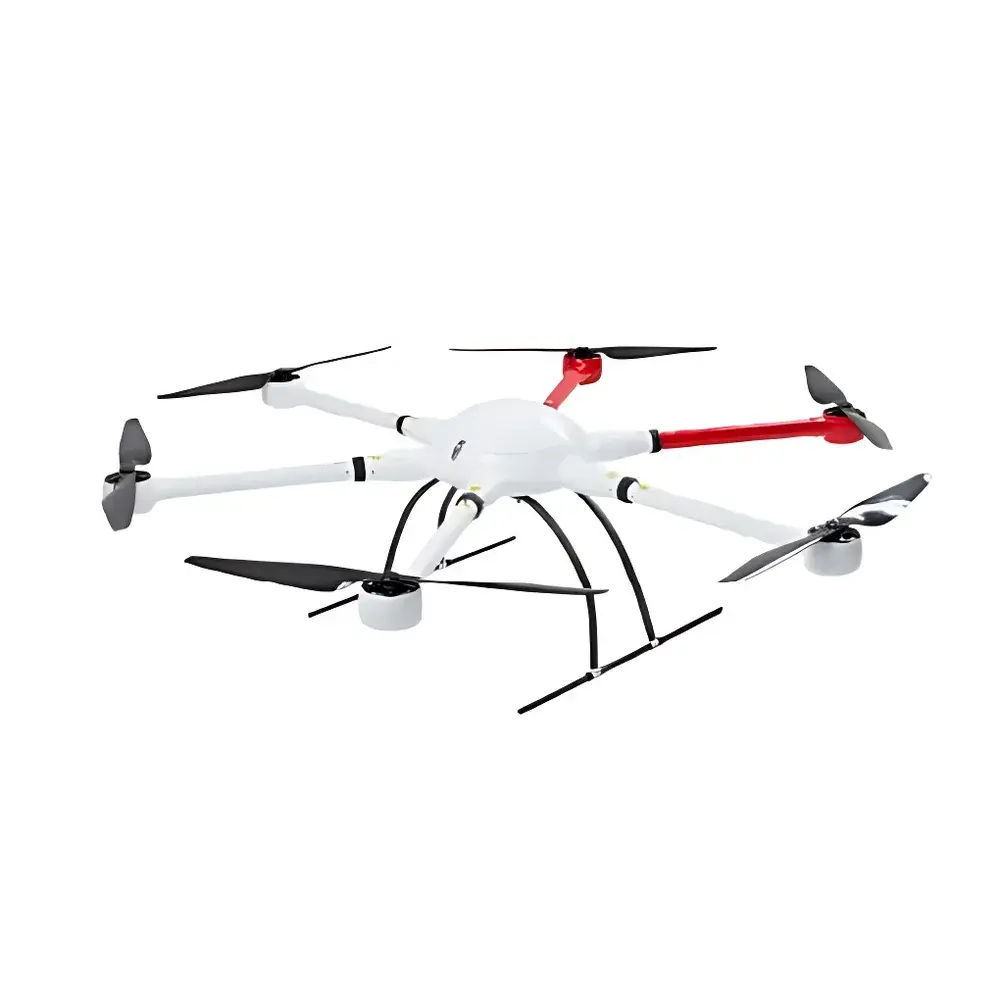
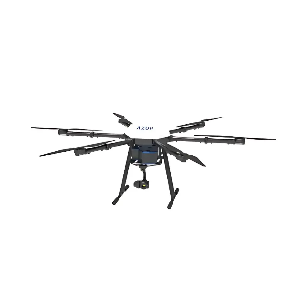
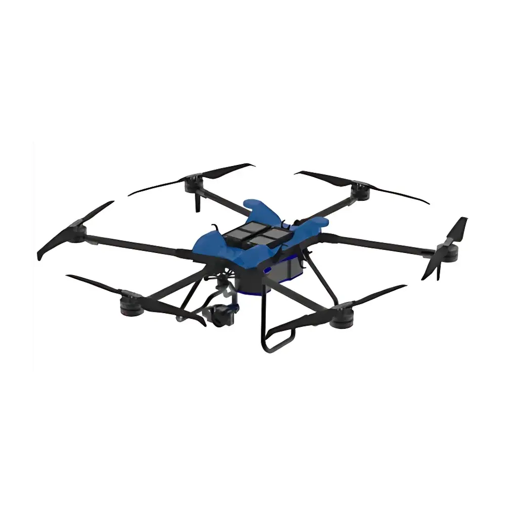
AZUP A6 Series Heavy-Lift Long-Endurance Hexacopter Remote Sensing Platform
| Brand | AZUP |
|---|---|
| Origin | Beijing, China |
| Manufacturer Type | Original Equipment Manufacturer (OEM) |
| Origin Category | Domestic (China-made) |
| Model | A660 / A670 / A680 |
| Price Range | USD 75,000 – 140,000 |
| Max Payload | 10 kg (A660/A680) / 15 kg (A670) |
| Max Takeoff Weight | 22 kg (A660/A680) / 30 kg (A670) |
| Flight Endurance (Empty) | >60 min (A660/A680) / >50 min (A670) |
| Hover Accuracy | Vertical ±0.5 m, Horizontal ±1.5 m |
| Max Operating Altitude | 4500 m ASL |
| Max Wind Resistance | 10 m/s |
| Max Forward Speed | 12 m/s |
| Max Climb Rate | 5 m/s |
| Max Tilt Angle | 35° |
| Flight Control System | Redundant IMU + GNSS |
Overview
The AZUP A6 Series is a professional-grade, heavy-lift hexacopter platform engineered for ecological and environmental remote sensing applications requiring high payload capacity, extended endurance, and operational robustness in challenging field conditions. Built on a carbon-fiber airframe with rapid-deployment folding mechanics, the A6 Series integrates aerospace-grade structural design with industrial-grade flight control architecture. Its core measurement principle is not sensor-based per se—but rather platform-enabled: it serves as a stable, repeatable, and metrologically traceable aerial platform for mounting calibrated scientific payloads—including hyperspectral imagers, multispectral sensors, thermal infrared cameras, LiDAR systems, spectroradiometers, oblique photogrammetry rigs, and visible-band high-resolution imaging modules. Designed for compliance with international UAV operational frameworks (e.g., ICAO Annex 2, EASA UAS Implementing Rules), the system supports mission-critical data acquisition under GLP-aligned workflows where positional accuracy, radiometric stability, and sensor synchronization are essential.
Key Features
- Heavy-lift capability: Configurable models (A660, A670, A680) support up to 15 kg payload—enabling dual-sensor integration or large-aperture optical systems without compromising flight safety.
- Long-endurance performance: >60 minutes of hover time on empty weight; sustained flight duration scales predictably with payload mass and environmental load (temperature, wind, altitude).
- Ruggedized field operation: Validated across extreme environments—including high-altitude (>4000 m ASL), sub-zero temperatures (–20 °C), and sustained crosswinds up to 10 m/s—ensuring repeatability in alpine, desert, and coastal monitoring campaigns.
- Redundant flight control architecture: Dual-redundant inertial measurement units (IMUs) coupled with multi-constellation GNSS (GPS, GLONASS, BeiDou, Galileo) deliver centimeter-level RTK/PPK positioning when paired with ground base stations.
- Modular payload interface: Standardized mechanical, power, and data interfaces (RS-422, CAN bus, Ethernet, GPIO) facilitate seamless integration of third-party sensors and custom telemetry modules.
- Compliance-ready telemetry logging: Onboard black-box recording captures full flight metadata (attitude, position, vibration, battery telemetry, sensor trigger logs) for auditability under ISO/IEC 17025 or EPA Method 1664-aligned QA/QC protocols.
Sample Compatibility & Compliance
The A6 Series is compatible with a broad spectrum of environmental sensing payloads certified to IP54 or higher ingress protection ratings. It accommodates industry-standard gimbal mounts (e.g., DJI Ronin-MX, Freefly Mōvi Pro, or custom azimuth/elevation-stabilized assemblies). All variants meet CE RED Directive 2014/53/EU for radio equipment and comply with China’s CAAC Regulation CCAR-92 for unmanned aircraft operations. For export markets, the platform supports optional DO-178C-compliant flight software verification packages and can be configured with FIPS 140-2 encrypted telemetry links. Integration with calibrated reference targets (e.g., Spectralon® panels, NIST-traceable gray cards) enables end-to-end radiometric calibration traceability per ASTM E275 and ISO 18526-2.
Software & Data Management
Flight planning, real-time telemetry monitoring, and post-mission georeferencing are managed via AZUP’s proprietary Ground Control Station (GCS) software—compatible with Windows 10/11 and Linux LTS distributions. The GCS supports KML/KMZ import/export, automated waypoint generation with terrain-following logic, and synchronized trigger control for multi-sensor capture (e.g., LiDAR point cloud + hyperspectral cube + thermal mosaic). Raw telemetry and sensor logs are stored in open formats (CSV, GeoTIFF, HDF5, LAS/LAZ) to ensure interoperability with ENVI, ArcGIS Pro, QGIS, and Python-based processing pipelines (e.g., scikit-image, rasterio, laspy). Audit trails include timestamped operator login sessions, parameter change history, and firmware version logs—fully compliant with FDA 21 CFR Part 11 requirements for electronic records and signatures when deployed in regulated environmental assessment contexts.
Applications
- Wetland and riparian zone mapping using multispectral NDVI/NDWI indices validated against USGS NWI standards.
- Forest canopy structure analysis via integrated LiDAR + RGB oblique photogrammetry for biomass estimation per IPCC Good Practice Guidance.
- Thermal anomaly detection in landfill methane plume surveys aligned with EPA Method 21 and ISO 16000-30.
- High-resolution spectral monitoring of algal blooms and turbidity gradients in reservoirs and estuaries using push-broom hyperspectral imagers (400–1000 nm, <5 nm FWHM).
- Post-wildfire vegetation recovery assessment through time-series normalized difference vegetation index (NDVI) stacks with sub-meter orthomosaic co-registration.
- Permafrost degradation monitoring in Arctic tundra via repeat-pass InSAR-capable thermal-infrared + DEM fusion workflows.
FAQ
What payload interfaces does the A6 Series support?
The platform provides standardized 24 V DC power outputs (up to 10 A continuous), RS-422 serial control, CAN 2.0B bus, Gigabit Ethernet, and GPIO-triggered TTL sync pulses—all accessible via a unified payload bay connector.
Is the system compatible with PPK/RTK correction services?
Yes. The onboard GNSS module supports L1/L2/L5 multi-frequency reception and accepts RTCM 3.x corrections from local base stations or commercial NTRIP networks for ≤2 cm horizontal positioning accuracy.
Can the A6 Series operate beyond visual line of sight (BVLOS)?
BVLOS operation is enabled via optional transponder integration (ADS-B Out) and compliance with national aviation authority-specific waivers—subject to local regulatory approval and risk mitigation documentation.
Does AZUP provide calibration certificates for integrated sensors?
AZUP coordinates third-party calibration services for OEM-mounted payloads (e.g., ASD FieldSpec, FLIR Tau2, Riegl VUX-120) and issues traceable calibration reports referencing NIST or PTB standards upon request.
What maintenance intervals are recommended for field-deployed units?
Pre-flight inspection is mandatory before each mission; comprehensive service—including motor bearing lubrication, IMU recalibration, and propeller balance verification—is recommended every 200 flight hours or annually, whichever occurs first.
Related Products


