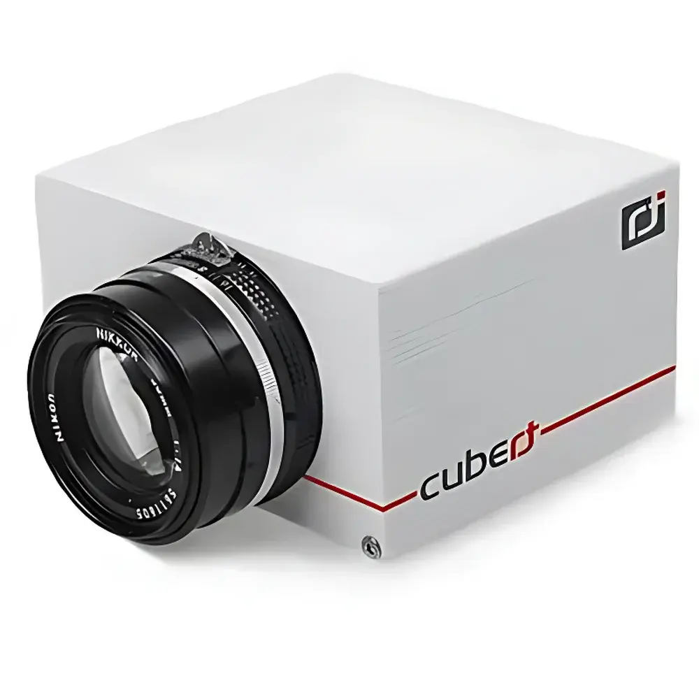
Cubert S219 Multispectral Imaging Spectrometer
| Brand | Cubert |
|---|---|
| Origin | Germany |
| Model | S219 |
| Spectral Range | 370–1000 nm |
| Spectral Resolution | 10 nm |
| Spatial Resolution | 1296 × 966 pixels per channel |
| Number of Simultaneous Channels | 4–6 |
| Frame Rate | 5 cubes/s (equivalent to 10 full multispectral frames/s) |
| Detector | Four Si-based CCD arrays, 1.25 MP each |
| Shutter Type | Global shutter |
| Data Storage | Internal SD card |
| Interface | USB 3.0, Gigabit Ethernet, Hardware Trigger |
| Lens Mount | F-mount |
| Compatible Lenses | Nikon objectives (e.g., 20 mm focal length) |
| Operating Modes | Ground-based and airborne deployment |
| Compliance | CE-marked, RoHS-compliant |
Overview
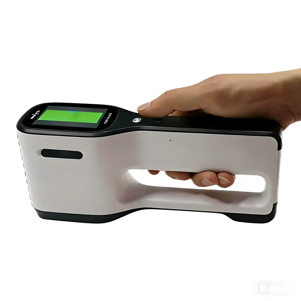
The Cubert S219 Multispectral Imaging Spectrometer is a compact, single-lens, multi-channel snapshot imaging spectrometer engineered for high-fidelity spectral-spatial data acquisition in dynamic field environments. Unlike scanning or filter-wheel-based systems, the S219 employs a proprietary optical architecture that directs light from a single objective lens onto four synchronized silicon CCD detector arrays—each equipped with a discrete bandpass interference filter. This design enables true simultaneous capture of 4 to 6 narrowband spectral images (370–1000 nm, 10 nm FWHM) within a common field of view (FOV), eliminating temporal misregistration and spatial parallax inherent in multi-lens configurations. The system operates on a global shutter principle, ensuring artifact-free imaging of moving platforms—including UAVs—and supports real-time acquisition at up to 5 spectral cubes per second (i.e., 10 full multispectral frames per second). Its ARM7-based embedded processing unit manages onboard synchronization, metadata tagging, and lossless 10-bit raw data storage directly to industrial-grade SD cards—bypassing the need for external frame grabbers or pre-processing pipelines.
Key Features
- Single-lens, multi-channel snapshot architecture ensures pixel-aligned spectral bands without post-acquisition registration.
- Four integrated Si CCD sensors (1.25 MP each), delivering 1296 × 966 spatial resolution per spectral channel with uniform geometric fidelity.
- Configurable spectral band selection via interchangeable interference filters—supporting custom 4- or 6-band setups within the 370–1000 nm range.
- Global electronic shutter with <100 µs exposure time, enabling motion-artifact suppression during aerial surveys or conveyor-belt inspections.
- F-mount lens interface compatible with standardized Nikon objectives (e.g., 20 mm f/1.8), facilitating rapid optical reconfiguration for varying ground sampling distances (GSD).
- Embedded GigE and USB 3.0 interfaces support both high-throughput streaming and deterministic hardware triggering for synchronized multi-sensor deployments.
- Self-contained operation: no external PC required for acquisition; all raw data and EXIF-style metadata (GPS timestamp, IMU attitude if externally fused, exposure settings) are logged to removable SD media.
Sample Compatibility & Compliance
The S219 is optimized for reflective surface measurements under ambient or controlled illumination and is widely deployed in outdoor remote sensing scenarios where spectral consistency across motion-induced scene changes is critical. It complies with EU regulatory requirements including CE marking and RoHS Directive 2011/65/EU. While not certified for medical device use under FDA 21 CFR Part 820 or IEC 62304, its stable radiometric response and traceable factory calibration (NIST-traceable reference standards used during spectral sensitivity characterization) support GLP-aligned data collection workflows. For environmental monitoring applications, the instrument’s spectral coverage aligns with key ISO 19130-2:2019 geospatial metadata conventions and supports derivation of standardized vegetation indices (e.g., NDVI, EVI, GNDVI) as defined in ISO 19115-2:2019 Annex B.
Software & Data Management
Cubert provides the proprietary Cubert Studio software suite (Windows/Linux/macOS) for data visualization, radiometric correction, georeferencing (when paired with GNSS/IMU), and index computation. Raw .cub files adhere to ENVI-compatible BIP (Band Interleaved by Pixel) format with embedded wavelength headers, enabling direct import into MATLAB, Python (via spectral Python library), or QGIS with minimal parsing overhead. The software implements automated dark-current subtraction, flat-field normalization, and optional atmospheric correction using empirical line method (ELM) or dark-pixel subtraction. Audit trails—including acquisition parameters, firmware version, and sensor temperature logs—are preserved in XML sidecar files to satisfy basic data integrity requirements for QA/QC reporting. No cloud dependency or subscription licensing is required; perpetual licenses include minor version updates and calibration file distribution.
Applications
- Precision Agriculture: In-field mapping of chlorophyll content, water stress, and nitrogen status via calibrated reflectance ratios; integration with variable-rate application systems.
- Environmental Remote Sensing: Monitoring coastal eutrophication, wetland vegetation succession, and post-wildfire regrowth using time-series spectral cube stacks.
- Industrial Process Control: Real-time sorting of recyclables (e.g., PET vs. HDPE), detection of coating uniformity on pharmaceutical tablets, or verification of pigment dispersion in paints.
- Cultural Heritage Documentation: Non-invasive pigment identification and degradation mapping on frescoes, manuscripts, and archaeological artifacts under museum-grade illumination protocols.
- Biomedical Preclinical Imaging: Ex vivo tissue characterization (e.g., tumor margin delineation in surgical specimens) when coupled with structured illumination and diffuse reflectance modeling.
- UAV-Based Surveying: Lightweight integration (<1.2 kg) with commercial quadcopters and fixed-wing platforms for corridor mapping, landfill methane plume screening, and infrastructure corrosion assessment.
FAQ
Does the S219 require radiometric calibration before each measurement?
No. The instrument ships with factory-applied relative spectral response (RSR) coefficients and a non-uniformity correction (NUC) map. Field recalibration is optional and performed annually or after mechanical shock; a portable integrating sphere source is recommended for traceable validation.
Can spectral band centers be adjusted beyond the standard 4–6 configurations?
Yes. Custom filter sets can be ordered directly from Cubert GmbH (Germany); lead time is typically 8–12 weeks. Bandwidth remains fixed at 10 nm FWHM, but center wavelengths may be specified in 5 nm increments across the 370–1000 nm range.
Is GPS/IMU data fused onboard or externally?
The S219 does not embed GNSS or inertial sensors. Geotagging requires external synchronization via TTL trigger signals and timestamp alignment in post-processing using Cubert Studio or third-party PPK/RTK solutions.
What is the maximum operating altitude for airborne use?
The system has been validated up to 120 m AGL in fixed-wing UAV trials and 80 m AGL in multirotor configurations. Performance above 200 m depends on lens choice, GSD requirements, and atmospheric scattering conditions—particularly below 450 nm.
How is thermal drift managed during extended field deployments?
The aluminum chassis provides passive thermal stabilization. Internal temperature is monitored continuously (±0.5 °C accuracy), and gain offsets are dynamically adjusted using embedded lookup tables derived from thermal chamber characterization across −10 °C to +50 °C.