Geoscan R3/R4 Airborne Fluxgate Magnetometer System
| Brand | Geoscan |
|---|---|
| Origin | Imported (Non-Chinese) |
| Manufacturer Type | Authorized Distributor |
| Model | R3 / R4 |
| Price Range | USD 105,000 – 140,000 (FOB) |
| Magnetic Field Range | ±75,000 nT (expandable) |
| Resolution | <150 pT |
| Sampling Rate | 200 Hz (configurable) |
| Real-time Output Rate | 2 Hz |
| Operating Temperature | −20 °C to +50 °C |
| Weight (R3 w/battery) | 750 g |
| Weight (R4 w/battery) | 2.7 kg |
| Onboard Storage | 2 GB SD card |
| Integrated Sensors | Triaxial fluxgate magnetometers (2 channels for R3 |
| Data Processing Software | DataTool (included), optional advanced processing suite |
Overview
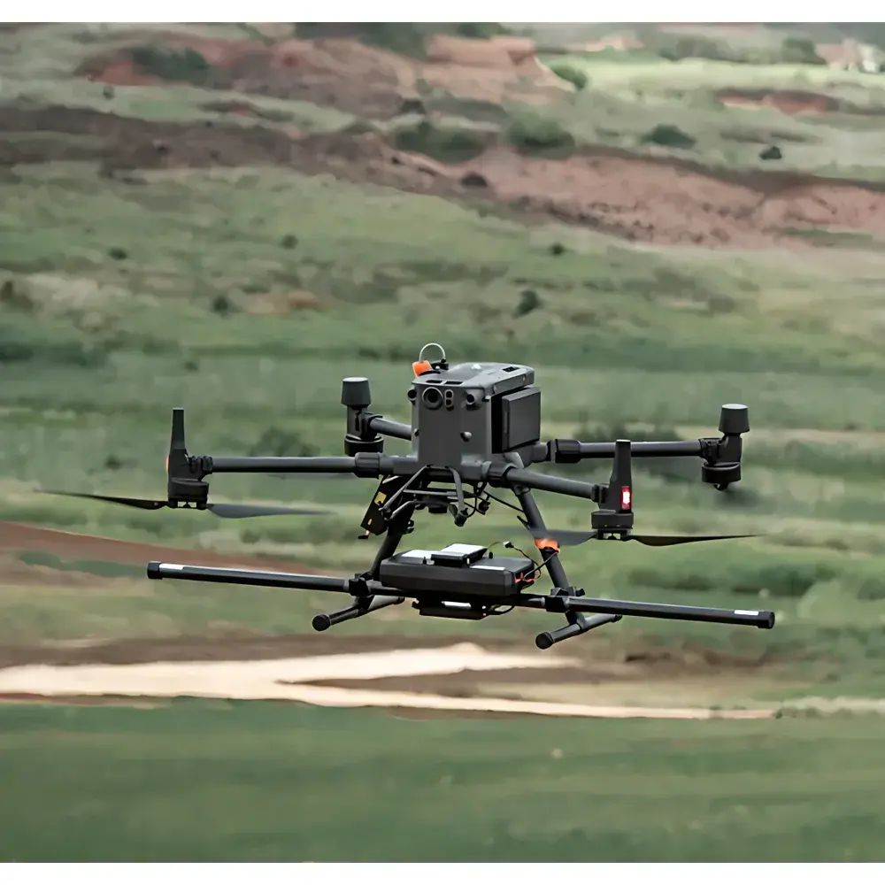
The Geoscan R3/R4 is a compact, high-stability airborne fluxgate magnetometer system engineered for geophysical surveying and magnetic anomaly detection from unmanned aerial platforms. Utilizing solid-state triaxial fluxgate sensors operating on the principle of harmonic detection in saturable-core inductors, the system delivers vector magnetic field measurements with sub-nanotesla resolution and exceptional temporal stability. Its design emphasizes low mass, low power consumption, and robust electromagnetic shielding—critical attributes for integration onto small- to medium-class UAVs without compromising flight endurance or sensor fidelity. The R3 variant integrates two linearly aligned fluxgate sensor units, while the R4 configuration deploys five co-linear sensor arrays, enabling enhanced spatial gradient estimation and improved noise rejection via differential signal processing. Both models operate across the full Earth’s magnetic field range (±75,000 nT) and support hardware-expandable ranges for specialized high-field applications.
Key Features
- High-resolution vector magnetometry: <150 pT RMS resolution across all three axes (X, Y, Z), traceable to NIST-traceable calibration standards.
- Dual sampling architecture: 200 Hz raw data acquisition for high-fidelity spectral analysis and noise characterization; synchronized 2 Hz real-time telemetry output compatible with UAV autopilot telemetry buses (e.g., MAVLink, UART/RS232).
- Integrated inertial and positional reference: Embedded GPS receiver (L1/L2, SBAS-enabled) with PPS timing synchronization; 3-axis MEMS accelerometer for motion compensation and platform attitude correlation.
- Onboard non-volatile storage: 2 GB industrial-grade SD card with cyclic buffering and automatic file rollover—ensuring zero data loss during extended missions or intermittent telemetry dropouts.
- Ruggedized mechanical design: Aluminum alloy housing rated IP65 for dust/water resistance; thermal management optimized for sustained operation between −20 °C and +50 °C ambient conditions.
- Modular firmware architecture: Field-upgradable via USB-C interface; supports user-defined filter coefficients, coordinate transformations (ENU/NED), and sensor alignment correction matrices.
Sample Compatibility & Compliance
The R3/R4 system is designed for direct integration with commercial and custom UAV platforms compliant with ISO 21384-3 (Unmanned Aircraft Systems — Part 3: Operational Requirements) and ASTM E3097-21 (Standard Guide for Electromagnetic Surveying Using Airborne Magnetometers). It meets CE marking requirements under Directive 2014/53/EU (Radio Equipment Directive) and complies with IEC 61000-6-3 (EMC emission limits) and IEC 61000-6-2 (immunity to electrostatic discharge, RF fields, and conducted transients). All factory calibrations are performed per ISO/IEC 17025-accredited procedures, with certificate of calibration including temperature-dependent sensitivity drift coefficients and orthogonal misalignment errors.
Software & Data Management
DataTool, the included desktop application, provides post-mission processing including GPS time-synchronization alignment, hard-iron/soft-iron compensation, diurnal variation correction using IGRF-13 or WMM2020 models, and gridding via minimum-curvature interpolation. Export formats include GeoTIFF, XYZ ASCII, LAS 1.4 (for LiDAR-magnetometer fusion), and SEG-Y for compatibility with industry-standard geophysical interpretation suites (e.g., Oasis montaj, Geosoft VOXI). Optional add-on modules support automated line-leveling (microleveling), magnetic gradient tensor computation, and forward modeling using open-source PyGMI-compatible scripts. All software adheres to FDA 21 CFR Part 11 requirements for audit trail logging, electronic signatures, and data integrity preservation.
Applications
- Mineral exploration: Detection of ferromagnetic ore bodies (e.g., magnetite, pyrrhotite) and structural mapping of basement lithologies at regional and target scales.
- UXO and ordnance clearance: High-sensitivity discrimination of buried metallic objects (≥50 mm diameter ferrous spheres at depths up to 3 m in low-conductivity soils) in post-conflict zones.
- Archaeogeophysical surveying: Mapping of subsurface anthropogenic features (ditches, kilns, foundations) with sub-meter lateral resolution under vegetated terrain.
- Civil infrastructure assessment: Non-invasive identification of corroded rebar networks, abandoned utility conduits, and unrecorded underground vaults prior to excavation.
- Volcanic and tectonic monitoring: Time-lapse magnetometer arrays for detecting crustal stress-induced magnetic permeability changes preceding seismic events.
FAQ
What is the maximum recommended UAV payload capacity for stable R4 operation?
For optimal vibration isolation and magnetic cleanliness, the R4 unit (3 kg total) should be mounted on UAVs with ≥5 kg maximum takeoff weight and active gimbal stabilization.
Does the system support real-time magnetic compensation for UAV motor currents?
Yes—the embedded accelerometer and dual-fluxgate architecture enable dynamic compensation of platform-generated fields via adaptive LMS filtering; configuration requires pre-flight current profiling.
Can DataTool process data from third-party magnetometers?
DataTool accepts ASCII and SEG-Y inputs with standardized column headers; however, proprietary calibration metadata (e.g., sensor orthogonality, temperature coefficients) must be manually entered for full accuracy.
Is firmware source code available for academic research integration?
A documented C++ SDK and register-level communication protocol specification are provided under academic licensing agreement (NDA required).
How frequently must factory recalibration be performed?
Annual recalibration is recommended under ISO/IEC 17025; extended intervals (up to 24 months) may be justified with documented in-field verification using calibrated reference coils per ASTM D7550-19.


")
