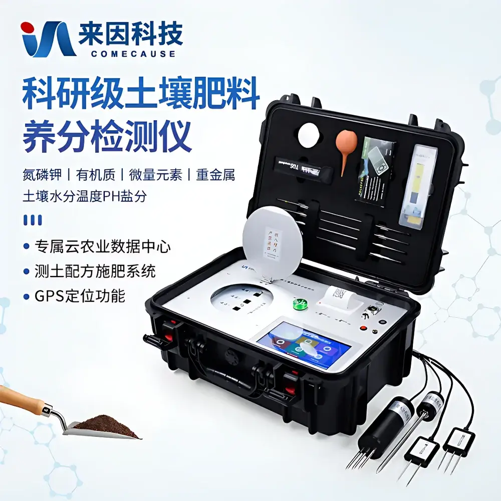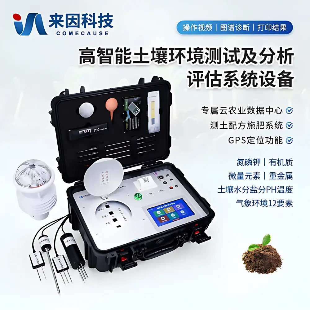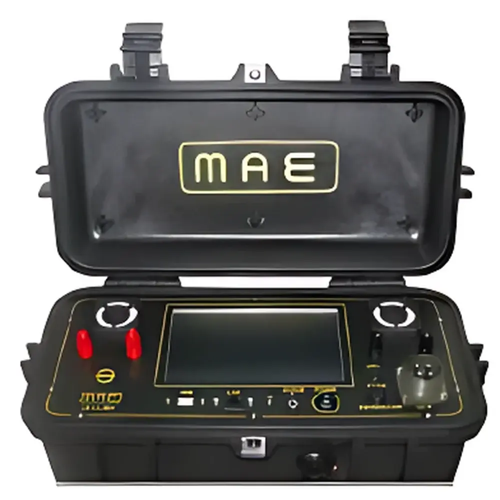
MAE C313SEV Surface Resistivity Meter
| Brand | MAE |
|---|---|
| Origin | Italy |
| Model | C313SEV |
| Output Voltage Range | ±50 V, ±100 V, ±250 V, ±500 V, ±800 V |
| Max Output Current | 5 A |
| Max Output Power | 250 W |
| Current Resolution | ±0.2 µA |
| Potential Measurement Range | ±25 V |
| Input Impedance | 2.5 MΩ |
| Potential Resolution | ±1.5 µV (within ±25 V) |
| Sampling Interval | 0.25 s |
| Noise Reduction | 2–10 sample averaging |
| Built-in Battery | 12 V / 12 Ah |
| Operating Temperature | −20 °C to +80 °C |
| Enclosure Rating | IP42 |
| Display | 7" TFT LCD touchscreen |
| Data Storage | Internal SD card (~3 GB), USB port (included) |
| Data Formats | TSV, CSV, DAT |
| Communication Ports | LAN, USB, VGA |
| Dimensions | 49 × 19 × 26.4 cm |
| Weight | 9.6 kg |
| Operating System | Embedded Windows |
| Language Support | English, Italian |
Overview
The MAE C313SEV Surface Resistivity Meter is a field-deployable geoelectrical instrument engineered for vertical electrical sounding (VES) and two-dimensional resistivity profiling in environmental and geotechnical investigations. It operates on the principle of direct current (DC) resistivity measurement, injecting controlled current into the ground via electrode arrays and measuring resulting potential differences to compute apparent resistivity values. Designed for high-resolution subsurface characterization, the C313SEV supports Wenner, Schlumberger, dipole-dipole, and gradient array configurations—enabling accurate delineation of soil stratification, groundwater table depth, contaminant plume geometry, and bedrock topography. Its fully integrated architecture eliminates reliance on external PCs during acquisition, with real-time waveform visualization, automatic data logging, and embedded signal conditioning optimized for low-noise operation in electrically noisy environments.
Key Features
- Auto-ranging current source with five programmable output steps and peak capability of 50 V / 5 A (250 W), ensuring adaptability across variable soil resistivity conditions.
- High-precision potential measurement system featuring 2.5 MΩ input impedance, ±25 V full-scale range, and resolution of ±1.5 µV—critical for detecting subtle subsurface anomalies.
- Real-time 0.25-second sampling interval with on-screen oscilloscope-style waveform display, enabling immediate verification of electrode contact quality and signal integrity.
- Integrated noise suppression algorithms including 50 Hz notch filtering and configurable averaging (2–10 samples), significantly enhancing signal-to-noise ratio in urban or industrial settings.
- Intelligent auto-correction functions: automatic natural potential (SP) compensation and reset, minimizing manual intervention and improving measurement repeatability.
- Ruggedized polypropylene copolymer housing with pressure-equalizing valve and IP42 ingress protection—certified for continuous operation from −20 °C to +80 °C.
- Embedded Windows OS with intuitive 7-inch capacitive touchscreen interface; no external keyboard required (virtual keyboard and optional USB keyboard support included).
Sample Compatibility & Compliance
The C313SEV is compatible with standard four-electrode DC resistivity configurations using stainless steel or Cu-CuSO₄ non-polarizing electrodes. It meets essential electromagnetic compatibility (EMC) requirements per EN 61326-1:2013 and safety standards per EN 61010-1:2010 for portable electrical equipment used in field geophysics. While not certified under FDA or ISO 17025 as a laboratory instrument, its measurement traceability aligns with ASTM G57-21 (Standard Test Method for Field Measurement of Soil Resistivity Using the Wenner Four-Electrode Method) and supports data acquisition workflows compliant with ISO 22475-1:2017 (Geotechnical investigation and testing — Sampling methods and groundwater measurements). Its data structure and metadata tagging facilitate integration into GIS-based environmental site assessment platforms and regulatory reporting frameworks.
Software & Data Management
Data acquisition, visualization, and preliminary processing are performed natively within the device’s embedded Windows environment. Raw measurements are stored in vendor-neutral formats—including TSV (tab-separated values), CSV, and binary DAT—with timestamp, array geometry, electrode spacing, injected current, measured voltage, and calculated apparent resistivity explicitly recorded per measurement point. Internal storage comprises a pre-installed 3 GB SD card; additional capacity is supported via USB flash drives (supplied). Remote diagnostics and firmware updates are enabled via LAN connection, while full system recovery is possible using the provided USB restore image. Battery level, internal voltage, available storage, and thermal status are continuously monitored and displayed in real time. Software language options include English and Italian; additional localization may be requested at order entry.
Applications
- Environmental site characterization: mapping leachate migration pathways, landfill boundary integrity, and saline intrusion zones.
- Geotechnical engineering: identifying clay lenses, voids, sinkholes, and fractured bedrock for foundation design and slope stability analysis.
- Hydrogeological studies: estimating aquifer thickness, transmissivity, and spatial variability of hydraulic conductivity via resistivity–hydraulic property correlations.
- Agricultural soil mapping: assessing salinity distribution, compaction layers, and root-zone moisture content gradients.
- Archaeogeophysical surveys: non-invasive detection of buried walls, ditches, and anthropogenic features based on lateral resistivity contrasts.
- Regulatory compliance monitoring: supporting Phase I/II Environmental Site Assessments (ESAs) and RCRA Facility Investigation (RFI) protocols requiring subsurface screening prior to drilling.
FAQ
What electrode configurations does the C313SEV support?
The instrument natively supports Wenner, Schlumberger, dipole-dipole, and gradient arrays through programmable electrode switching sequences and configurable spacing parameters.
Can the C313SEV operate without external power sources?
Yes—it includes a rechargeable 12 V / 12 Ah internal battery providing up to 9 hours of continuous operation under typical field conditions.
Is raw data export compatible with third-party inversion software?
Yes—TSV and CSV outputs contain all necessary geometric and measurement metadata required by industry-standard inversion tools such as RES2DINV, EarthImager, and PyGIMLi.
How is measurement accuracy verified in the field?
The unit performs automated self-calibration at startup and supports periodic verification using precision reference resistors; measurement uncertainty is specified at ±0.5% for resistivity calculations.
Does the device comply with GLP or GMP data integrity requirements?
While not validated for pharmaceutical-grade compliance, its audit-ready data logs include immutable timestamps, operator ID fields (configurable), and full parameter traceability—supporting ALCOA+ principles in environmental QA/QC workflows.
Related Products