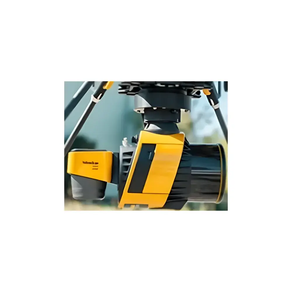
YellowScan 60MP Full-Frame RGB Camera Module
| Brand | YellowScan |
|---|---|
| Origin | France |
| Model | YellowScan 60MP |
| Sensor Format | Full-frame CMOS (35.9 × 23.8 mm) |
| Resolution | 9552 × 6368 pixels (60 MP) |
| Lens | Calibrated fixed 18 mm prime lens |
| Weight | 235 g |
| Integration | Plug-and-play, LiDAR-synchronized triggering |
| Compatibility | YellowScan Mapper+, Surveyor Ultra, Explorer, Voyager |
Overview
The YellowScan 60MP Full-Frame RGB Camera Module is a purpose-engineered imaging subsystem designed for synchronized, georeferenced visual data acquisition in mobile and airborne LiDAR mapping workflows. Unlike generic off-the-shelf cameras, this module integrates directly into YellowScan’s proprietary LiDAR architecture via standardized triangular mounting interfaces and hardware-level trigger synchronization—ensuring sub-millisecond temporal alignment between point cloud generation and RGB frame capture. Its core measurement principle relies on passive optical imaging using a globally shuttered, full-frame CMOS sensor (35.9 × 23.8 mm), delivering high-fidelity photogrammetric inputs essential for orthomosaic generation (DOM), texture mapping of 3D point clouds, and visual validation of LiDAR-derived features. The module operates as a deterministic peripheral—not a standalone imaging device—meaning all exposure, gain, white balance, and frame timing parameters are controlled exclusively by the host LiDAR system’s firmware, eliminating manual configuration and ensuring repeatable, audit-ready acquisition protocols.
Key Features
- Full-frame 60 MP CMOS sensor (9552 × 6368 pixels) with native 3:2 aspect ratio, optimized for wide-area coverage and pixel-level geometric fidelity.
- Factory-calibrated 18 mm fixed focal length lens with distortion coefficients embedded in metadata; supports rigorous photogrammetric bundle adjustment.
- Hardware-synchronized triggering via LiDAR system bus—no external GPS PPS or software-based time-stamping required.
- Ultra-compact form factor (235 g) and low-power consumption (<3.5 W), enabling seamless integration on UAVs, backpack systems, and vehicle-mounted platforms without payload compromise.
- Robust mechanical design compliant with EN 60068-2 environmental stress standards for vibration, shock, and thermal cycling during mobile operation.
- No user-accessible firmware or configuration interface—ensures GxP-aligned consistency across deployments and simplifies QA/QC documentation.
Sample Compatibility & Compliance
The module is mechanically and electronically compatible with all current-generation YellowScan LiDAR systems featuring the standard triangular mounting interface, including the Mapper+, Surveyor Ultra, Explorer, and Voyager platforms. It does not require field recalibration after installation due to factory-performed intrinsic parameter characterization (focal length, principal point, radial/tangential distortion). Image metadata conforms to Exif 2.3 and XMP standards, embedding GPS timestamp (UTC), IMU orientation quaternions (when fused), and LiDAR system identification. For regulated environments—including survey-grade infrastructure monitoring and environmental compliance reporting—the module supports traceable data lineage when used within YellowScan’s certified firmware stack, which maintains audit trails per ISO 17025 requirements for measurement equipment management.
Software & Data Management
Raw image data is written in 12-bit linear TIFF format with embedded geotags and synchronized timestamps aligned to the LiDAR point cloud’s epoch. No proprietary codec or closed-format compression is applied—ensuring interoperability with industry-standard photogrammetry engines (e.g., Pix4Dmapper, Agisoft Metashape, RealityCapture) and GIS platforms (QGIS, ArcGIS Pro). YellowScan’s unified SDK provides programmatic access to camera status, trigger health diagnostics, and sensor temperature telemetry—enabling automated health checks in unmanned flight logs. All image files include embedded EXIF GPSInfo tags compliant with NMEA 0183 RMC/GGA sentence parsing conventions, facilitating direct ingestion into geospatial ETL pipelines without post-processing conversion.
Applications
- High-resolution orthophoto generation (DOM) for cadastral mapping, forestry canopy analysis, and coastal erosion monitoring.
- Texture mapping of LiDAR-derived digital surface models (DSMs) and classified point clouds in urban 3D city modeling projects.
- Visual verification of power line corridor clearances, pipeline right-of-way inspections, and railway asset condition assessment.
- Integration into ISO 19157-compliant quality assurance frameworks for national mapping agencies requiring pixel-accurate visual ground control.
- Time-series change detection in ecological restoration sites, where consistent spectral response and geometric registration across campaigns are critical.
FAQ
Is the 60MP camera module compatible with third-party LiDAR systems?
No—it is engineered exclusively for YellowScan’s native hardware interface and firmware control protocol. Interfacing with non-YellowScan LiDAR requires custom electrical and timing adaptation beyond standard OEM support.
Does the module support real-time video streaming?
No—it operates in burst-capture mode synchronized to LiDAR scan lines; continuous video output is not implemented to preserve power efficiency and thermal stability.
Can users replace or refocus the 18 mm lens?
No—the lens is permanently sealed and factory-aligned; disassembly voids calibration certification and invalidates metrological traceability.
What georeferencing accuracy can be expected when pairing with YellowScan Surveyor Ultra?
When integrated with Surveyor Ultra’s dual-frequency GNSS/IMU solution and processed through YellowScan’s calibrated workflow, absolute horizontal DOM accuracy is typically ≤ 3 cm RMSE at GCP-free operation under optimal satellite visibility conditions.
Is the module compliant with GDPR or US privacy regulations regarding facial recognition or personal data capture?
The device captures no biometric or personally identifiable information by design; it acquires only georeferenced RGB imagery without AI-based feature extraction, aligning with baseline data minimization principles in ISO/IEC 27001 Annex A.8.2.