Yellowscan RedEdge-P Triple 15-Channel Airborne Multispectral Camera
| Brand | Yellowscan |
|---|---|
| Origin | France |
| Manufacturer Type | Authorized Distributor |
| Import Status | Imported |
| Model | RedEdge-P Triple 15 |
| Pricing | Upon Request |
Overview
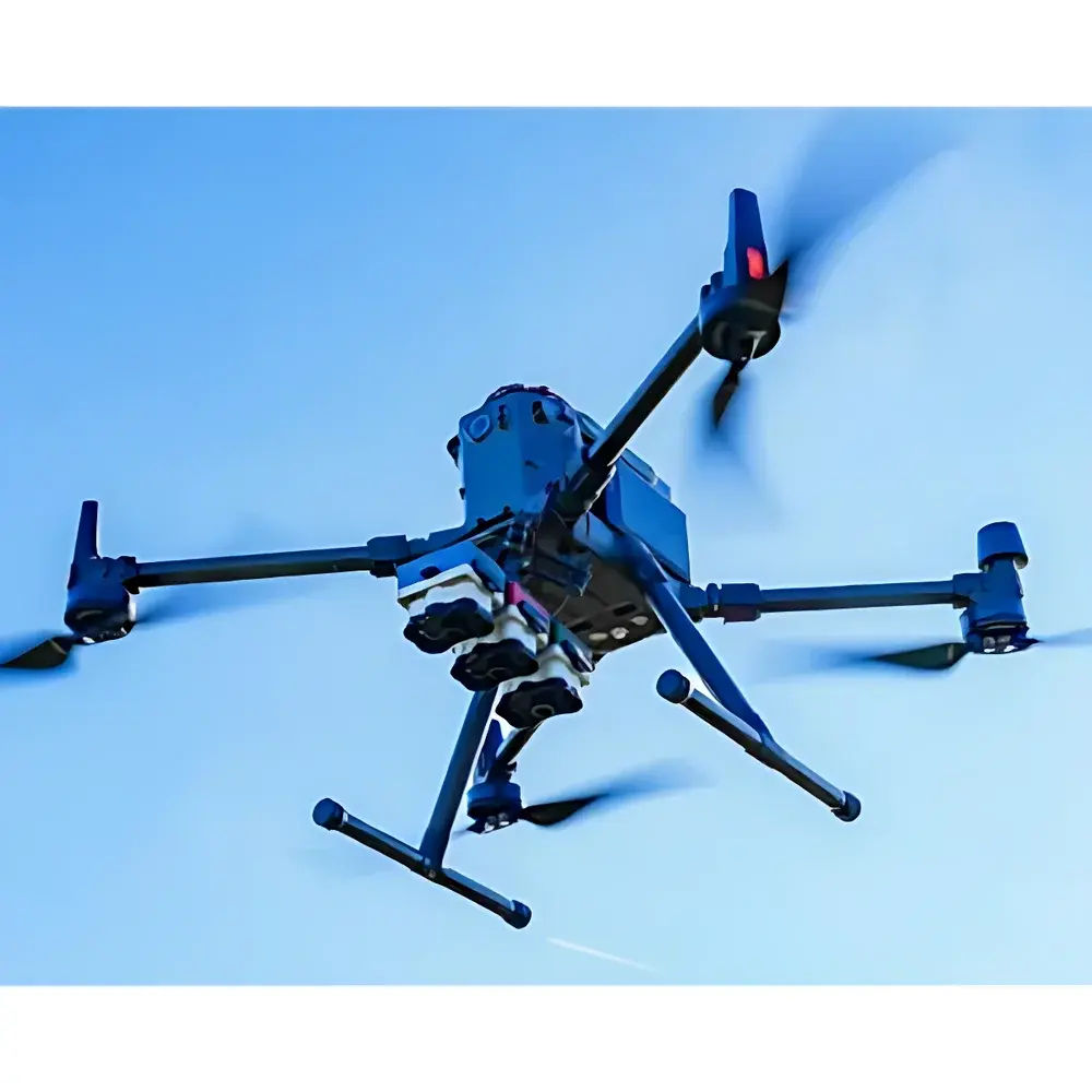
The Yellowscan RedEdge-P Triple 15-Channel Airborne Multispectral Camera is a purpose-built, high-fidelity imaging system engineered for UAV-based remote sensing applications in agronomy, ecological research, and environmental monitoring. Operating on the principle of synchronized multispectral band capture—leveraging discrete interference-filtered CMOS sensors—the system acquires radiometrically calibrated data across 15 spectrally optimized channels spanning 400–900 nm. Its spectral configuration includes dedicated ocean-blue (475 nm), multiple red-edge bands (e.g., 705 nm, 717 nm, 730 nm), and near-infrared (NIR) channels, enabling robust retrieval of photochemical and structural vegetation indices without reliance on interpolation or spectral reconstruction. Designed for integration with professional-grade UAV platforms—including DJI Matrice and M300 RTK series—the RedEdge-P Triple delivers laboratory-grade spectral fidelity under field-deployable conditions, supporting longitudinal phenotyping, precision agriculture workflows, and regulatory-compliant environmental assessments.
Key Features
- 15 discrete, narrowband spectral channels with full-width half-maximum (FWHM) ≤ 10 nm, covering visible (VIS), red-edge (RE), and near-infrared (NIR) regions
- Integrated panchromatic sensor (5.1 MP, global shutter) enabling pan-sharpening to achieve ≤2 cm/pixel ground sampling distance (GSD) at 60 m AGL
- Dual radiometric calibration architecture: DLS2 downwelling light sensor with integrated GNSS/IMU + CRP2 calibrated reflectance panel for real-time irradiance normalization and sun-angle compensation
- Native DNG output format with 12-bit linear RAW data; up to 3 frames per second acquisition rate with CFexpress Type B card support
- RTK-enabled geotagging with sub-10 cm horizontal positional accuracy (when paired with compatible RTK module)
- Global shutter operation eliminating motion blur and geometric distortion during high-speed UAV flight
Sample Compatibility & Compliance
The RedEdge-P Triple is designed for non-contact, non-destructive imaging of vegetative surfaces—including crop canopies, forest understory, wetland macrophytes, and coastal vegetation—at operational altitudes from 20 m to 120 m AGL. Its spectral response is traceable to NIST-calibrated standards, and raw data output complies with ISO 18436-3 (condition monitoring) and ASTM E2920-22 (remote sensing data quality assurance) frameworks. Radiometric calibration protocols support GLP-aligned data provenance, including embedded metadata for solar zenith angle, sensor temperature, and exposure time—enabling reproducible cross-temporal and cross-platform analysis. The system meets CE, FCC, and RoHS regulatory requirements for airborne electronic instrumentation.
Software & Data Management
Data acquisition and preprocessing are supported via the proprietary FlightControl software suite, which provides real-time preview, automatic georeferencing, and onboard radiometric correction. Processed outputs—including orthomosaics, index rasters (NDVI, NDRE, PRI, ARI, CRI, SAVI, EVI, OSAVI, VOG, RVI), DSMs, and false-color composites—are exportable in GeoTIFF, ENVI, and Cloud Optimized GeoTIFF (COG) formats. Integration with Pix4Dmapper, Agisoft Metashape, and QGIS is validated. For regulated environments, optional audit-trail logging and user-access controls align with FDA 21 CFR Part 11 requirements when deployed in GxP-compliant agricultural trials or ecological impact assessments.
Applications
- Agricultural monitoring: Early detection of nutrient stress (N, K), water deficit, and biotic stressors (e.g., fungal infection, aphid infestation) via red-edge slope analysis and photochemical reflectance index (PRI) dynamics
- Plant phenotyping: Leaf-level quantification of chlorophyll-a/b ratio, anthocyanin concentration, and carotenoid degradation kinetics under controlled or field conditions
- Ecological mapping: Species discrimination using spectral unmixing algorithms; invasive species tracking via temporal NDVI anomaly detection
- Wetland and coastal zone assessment: Bathymetric estimation in shallow waters (< 2 m depth) using blue-green-NIR band ratios; habitat classification using supervised machine learning on stacked spectral bands
- Carbon sequestration modeling: Canopy structural metrics derived from DSM fusion with multispectral indices to parameterize LAI and fPAR in ecosystem carbon models
FAQ
What spectral bands are included in the 15-channel configuration?
The RedEdge-P Triple includes three independently configurable triple-sensor modules, each containing five discrete bands: 475 nm (ocean blue), 550 nm (green), 660 nm (red), 705 nm (red edge), and 730 nm (red edge). Additional configurations may include 717 nm, 800 nm, and 840 nm depending on firmware and calibration profile.
Is radiometric calibration required before each flight?
No—dual-stage calibration (DLS2 + CRP2) enables automatic irradiance normalization. However, CRP2 panel imaging is recommended at mission start, midday, and mission end for long-duration campaigns to maintain <±3% radiometric stability.
Does the system support real-time onboard processing?
It does not perform real-time index computation onboard; however, all raw DNG files contain embedded metadata required for deterministic post-processing with sub-pixel alignment and atmospheric correction.
Can it be mounted on non-DJI UAV platforms?
Yes—mechanical and electrical interfaces comply with standard UAV gimbal mounting specifications (M3x0.5 threaded holes, 12–24 V DC input, UART/USB-C telemetry), enabling integration with Autel, Freefly, and custom VTOL platforms.
What is the typical data throughput per flight hour?
At 3 Hz capture rate and 12-bit DNG compression, average storage demand is ~45 GB/hour—scalable via CFexpress Type B cards up to 1 TB capacity.


