AERO APC-500U Airborne Polarimetric Imaging System
| Brand | AERO |
|---|---|
| Origin | Beijing, China |
| Manufacturer Type | Authorized Distributor |
| Country of Origin | China |
| Model | APC-500U |
| Pricing | Available Upon Request |
| Polarization Angles | 0°, 60°, 120° (customizable) |
| Output Data | Co-registered Stokes parameter images (I, Q, U), Degree of Linear Polarization (DoLP) maps, Angle of Linear Polarization (AoLP) maps, synchronized video streams at all three angles |
Overview
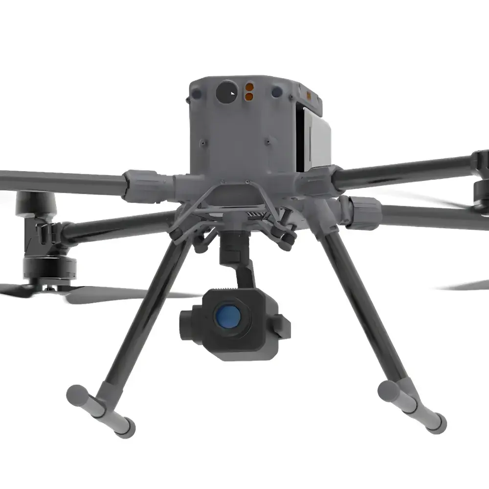
The AERO APC-500U Airborne Polarimetric Imaging System is a purpose-engineered electro-optical payload designed for integration onto unmanned aerial vehicles (UAVs), light aircraft, and rotary-wing platforms. It operates on the physical principle of linear polarization contrast enhancement—leveraging the differential scattering behavior of atmospheric aerosols and hydrometeors—to recover scene radiance and structural detail obscured by turbid media. Unlike conventional intensity-based imaging systems, the APC-500U captures full Stokes vector information (I, Q, U) simultaneously across three fixed polarization orientations (0°, 60°, and 120°), enabling robust calculation of the Degree of Linear Polarization (DoLP) and Angle of Linear Polarization (AoLP) at every pixel. This capability is grounded in radiative transfer modeling of polarized skylight and surface-reflected light under heterogeneous atmospheric conditions—including fog, haze, light rain, and snow—where Mie and Rayleigh scattering dominate. The system is not a post-processing add-on but a hardware-synchronized, real-time polarimetric acquisition platform engineered for operational reliability in field-deployed remote sensing missions.
Key Features
- Triple-angle polarization optics with mechanically stable, non-rotating filter wheel architecture—ensuring temporal co-registration of all polarization states without motion-induced misalignment.
- High-frame-rate CMOS sensor with global shutter operation, supporting synchronized capture of 0°, 60°, and 120° polarization channels at up to 30 Hz (configurable).
- Onboard real-time computation of DoLP and AoLP maps using calibrated Stokes inversion, outputting georeferenced polarimetric data cubes via GigE Vision or Camera Link interface.
- Ruggedized aluminum alloy housing rated to IP65, qualified for operation across −20 °C to +60 °C ambient temperatures and vibration spectra compliant with MIL-STD-810G (UAV Class II).
- Integrated inertial measurement unit (IMU) and GNSS receiver for precise attitude and position tagging—enabling downstream orthorectification and multi-temporal polarimetric change detection.
Sample Compatibility & Compliance
The APC-500U is optimized for outdoor, wide-area remote sensing applications where atmospheric extinction and low-contrast target signatures are limiting factors. It does not require sample preparation or contact with targets; instead, it acquires passive, solar-illuminated polarimetric reflectance from natural surfaces—including vegetation canopies, soil, water bodies, urban infrastructure, and man-made objects. Its spectral response spans the visible to near-infrared range (400–900 nm), with peak quantum efficiency aligned to the solar irradiance maximum. The system complies with ISO 9001:2015 manufacturing quality standards and meets electromagnetic compatibility requirements per EN 61000-6-2 and EN 61000-6-4. While not certified for aviation airworthiness (e.g., DO-160), it is widely deployed in civil UAV platforms operating under national civil aviation authority exemptions for scientific remote sensing payloads.
Software & Data Management
The APC-500U ships with AERO PolarView™ SDK—a cross-platform C++/Python software development kit supporting Linux and Windows environments. It provides low-level device control, real-time streaming access, and batch processing pipelines for Stokes parameter calibration, DoLP/AoLP mapping, and polarization contrast enhancement. All raw and processed datasets include embedded EXIF metadata (GPS time, latitude/longitude, altitude, pitch/roll/yaw, exposure settings) and support standard geospatial formats (GeoTIFF, ENVI .hdr/.bin). Audit trails for calibration updates and processing parameters are maintained in accordance with GLP-aligned data integrity practices. Exported polarimetric products are compatible with ENVI, ArcGIS Pro, and MATLAB for advanced analysis—including polarimetric decomposition, anomaly detection, and machine learning–based classification workflows.
Applications
- Agricultural monitoring: Detection of crop water stress and early disease onset through polarization signature shifts in leaf reflectance.
- Forest fire surveillance: Enhanced smoke-penetration capability for locating active fire fronts and hotspots under low-visibility conditions.
- Environmental remote sensing: Quantitative mapping of atmospheric aerosol loading, particulate matter (PM₂.₅/PM₁₀) distribution, and coastal water turbidity.
- Defense and security: Long-range identification of camouflaged or low-RCS targets via polarization microstructure analysis—not reliant on thermal contrast.
- Infrastructure inspection: Corrosion assessment on metallic surfaces and delamination detection in composite materials using polarized surface scattering anisotropy.
FAQ
Is the APC-500U compatible with DJI Matrice 300 RTK and other commercial UAV platforms?
Yes—the system supports standard UAV mounting interfaces (e.g., CAN bus, MAVLink telemetry) and includes optional gimbal integration kits for stabilized deployment on DJI, Freefly, and custom VTOL platforms.
Can polarization angles be reconfigured in-flight?
No—angle selection is fixed at hardware level (0°, 60°, 120°) to ensure optical stability and calibration integrity; however, custom angle configurations (e.g., 0°, 45°, 90°) are available as factory options.
Does the system meet FDA or ISO 13485 requirements for medical imaging use?
No—it is not designed or validated for clinical diagnostics or human subject imaging; its intended use is strictly environmental and industrial remote sensing.
What calibration protocols are supported?
Factory-performed radiometric and polarimetric calibration using NIST-traceable reference sources; users may perform field recalibration using uniform Lambertian targets and zenith sky measurements.
Is raw Stokes data accessible for proprietary algorithm development?
Yes—full 16-bit raw I/Q/U frames are streamed and logged without compression or proprietary encoding, enabling transparent algorithmic customization and third-party model integration.