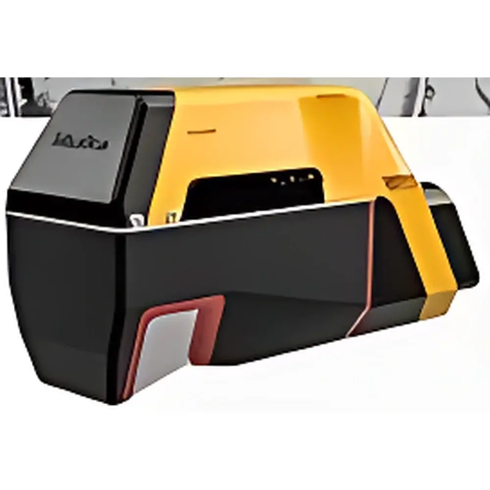
YellowScan Voyager LiDAR System
| Origin | France |
|---|---|
| Manufacturer Type | Distributor |
| Origin Category | Imported |
| Model | YellowScan Voyager |
| Pricing | Upon Request |
Overview
The YellowScan Voyager LiDAR System is a high-performance, long-range airborne light detection and ranging (LiDAR) solution engineered for precision geospatial data acquisition in demanding environmental and ecological remote sensing applications. Operating on the time-of-flight (ToF) principle, the system emits near-infrared laser pulses (1550 nm wavelength) and measures the round-trip time to generate highly accurate 3D point clouds. With a maximum operational range of 760 meters and a wide 100° field of view (FOV), the Voyager delivers exceptional spatial coverage per scan line—enabling efficient large-area surveys without compromising point density. Its real-time data acquisition rate of up to 1.8 million points per second ensures sub-centimeter vertical precision and high geometric fidelity under dynamic flight conditions. Designed specifically for integration with unmanned aerial vehicles (UAVs), the Voyager supports rigorous scientific workflows in forestry, precision agriculture, geomorphological monitoring, and infrastructure inspection.
Key Features
- Long-range capability: 760 m maximum detection range at 80% reflectivity (90% at 600 m), optimized for low-SNR environments such as dense canopy or arid terrain.
- High-density point cloud generation: 1.8 MHz pulse repetition frequency enables >200 pts/m² at typical UAV survey altitudes (60–120 m AGL).
- Wide angular coverage: 100° horizontal FOV with ±50° mechanical scanning, minimizing flight line overlap and reducing mission time.
- Integrated inertial navigation system (INS): Tightly coupled GNSS/IMU (e.g., NovAtel SPAN or equivalent) ensures centimeter-level georeferencing accuracy (<5 cm horizontal, <3 cm vertical RMS) without ground control points (GCPs) in open-sky conditions.
- Ruggedized airborne architecture: IP65-rated enclosure, shock-mounted optical bench, and thermal management compliant with DO-160 environmental test standards for UAV deployment.
- Real-time onboard processing: Embedded Linux-based firmware supports streaming point cloud output (via Ethernet or UART) and optional real-time classification (ground/non-ground) using configurable intensity and height thresholds.
Sample Compatibility & Compliance
The YellowScan Voyager is compatible with Class I/II UAV platforms rated for payloads ≥2.5 kg and power supply ≥24 V DC (max 120 W). It has been validated for integration with Ecodrone® series drones—including multirotor and VTOL configurations—as well as third-party platforms meeting RTK-GNSS synchronization and vibration isolation requirements. The system complies with IEC 60825-1:2014 (laser safety Class 1), EN 55032:2015 (EMC emissions), and ISO 17123-8:2015 (field performance testing for terrestrial LiDAR). Data outputs adhere to industry-standard formats (LAS/LAZ v1.4, E57, ASCII XYZ) and support metadata embedding for traceability in GLP/GMP-aligned environmental monitoring programs.
Software & Data Management
YellowScan provides the proprietary Voyager Studio desktop application for post-processing, calibration validation, and trajectory refinement using raw IMU/GNSS logs and point cloud data. The software supports batch georeferencing, boresight angle optimization, radiometric correction (intensity normalization), and export to GIS-ready formats (GeoTIFF, SHP, DEM/DSM). For enterprise-scale deployments, the system integrates natively with cloud-based platforms including Esri ArcGIS Online, Bentley ContextCapture, and Pix4Dmapper via API-driven workflows. All software modules maintain full audit trails and user-access logging, supporting compliance with FDA 21 CFR Part 11 requirements where electronic records are subject to regulatory review.
Applications
- Forest Structure Analysis: Canopy height modeling (CHM), biomass estimation, and understory penetration assessment using multi-return capability (up to 5 returns per pulse).
- Agricultural Phenotyping: Crop height mapping, plant density quantification, and NDVI-integrated structural analysis when fused with hyperspectral or thermal sensors.
- Environmental Change Monitoring: Erosion tracking, landslide displacement measurement, and wetland topographic change detection over seasonal or interannual intervals.
- Mining & Quarry Operations: Volume calculation, stockpile monitoring, and slope stability analysis with repeat-survey repeatability ≤2 cm RMSE.
- Cultural Heritage Documentation: High-resolution 3D reconstruction of archaeological sites and historical structures under vegetative cover or complex terrain.
- Utility Infrastructure Inspection: Corridor mapping of transmission lines, tower clearance analysis, and vegetation encroachment detection with automated hazard flagging.
FAQ
What is the minimum flying altitude required to achieve optimal point density?
For standard survey configurations (e.g., 60 km/h forward speed, 60 m AGL), optimal density (>150 pts/m²) is achieved between 50–90 m AGL. Lower altitudes increase density but reduce swath width; higher altitudes extend coverage at the cost of vertical resolution.
Does the Voyager support real-time kinematic (RTK) GNSS input from third-party receivers?
Yes—the system accepts external RTCM3.x corrections via serial or NTRIP over WiFi/Ethernet and supports direct integration with u-blox ZED-F9P, Septentrio mosaic-X5, and Trimble BD9xx-series receivers.
Can the Voyager be operated in GPS-denied environments such as dense forest canopies or urban canyons?
While absolute positioning degrades without GNSS lock, the integrated high-grade IMU maintains relative trajectory integrity for short-duration outages (<15 s); post-processed kinematic (PPK) workflows are recommended for mission-critical applications in obstructed environments.
Is firmware update capability available remotely?
Firmware updates are delivered via secure HTTPS download and installed through Voyager Studio; no physical access or bootloader intervention is required.
What calibration documentation is provided with each unit?
Each Voyager ships with a factory calibration certificate (traceable to NIST standards), including boresight angles, lever-arm offsets, and laser beam divergence measurements, valid for 12 months under normal operating conditions.
Related Products


