Ariel Airborne L-band Microwave Radiometer
| Brand | AZUP |
|---|---|
| Origin | Spain |
| Manufacturer | AZUP |
| Type | Imported |
| Model | Ariel |
| Frequency | 1.413 GHz (L-band) |
| Bandwidth | 20 MHz |
| Radiometric Accuracy | ±0.2 K |
| Temperature Resolution | 0.02 K |
| Sampling Rate | Up to 10 Hz |
| Polarization | Dual (H + V) |
| Beamwidth | 22° (aircraft-mounted) |
| Power Input | 12 V DC |
| Power Consumption | 0.5 A (electronics), 4 A (heating, aircraft mode) |
| GNSS | Integrated GPS/Glonass/BeiDou, WGS84 (EPSG:4326) |
| Data Interface | Ethernet |
| Onboard Storage | Internal |
| Dimensions (airborne) | 400 × 300 × 250 mm |
| Weight (airborne) | 15 kg |
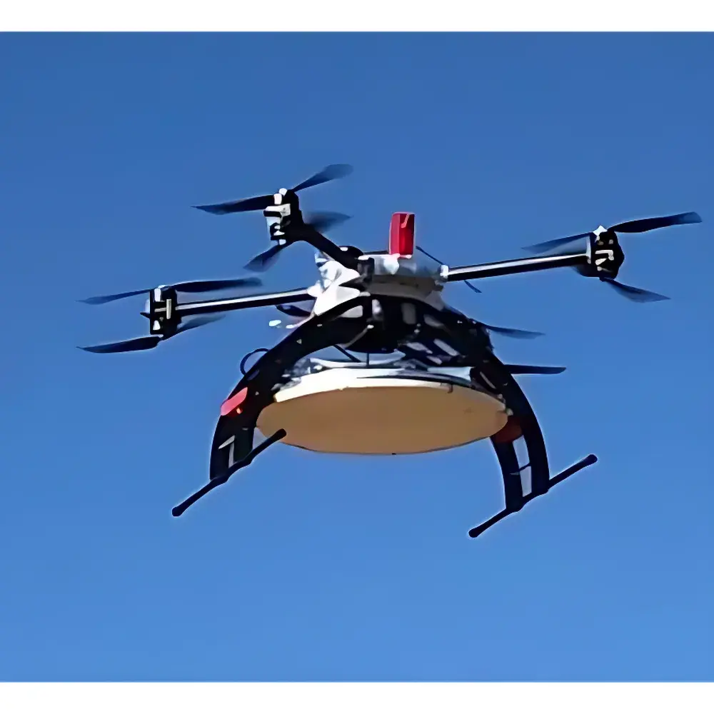
| Platform Compatibility | Fixed-wing aircraft, UAVs, ground vehicles |
Overview
The Ariel Airborne L-band Microwave Radiometer is a high-stability, dual-polarization passive remote sensing instrument engineered for quantitative retrieval of surface geophysical parameters—primarily soil moisture and sea surface salinity—from airborne platforms. Operating at the internationally standardized L-band center frequency of 1.413 GHz, the Ariel leverages the unique penetration capability of long-wavelength microwaves to sense emission from the top 2–5 cm of soil and ocean surfaces, independent of cloud cover or solar illumination. Its design adheres to the physical principles of Planck’s law and the Rayleigh-Jeans approximation, where measured brightness temperature (TB) is linearly related to emissivity and physical temperature—enabling robust inversion to geophysical variables when combined with ancillary data and forward modeling. The instrument implements a Dicke-switched radiometric architecture with internal calibration loads, ensuring high reproducibility and long-term stability required for time-series analysis across seasonal and interannual scales.
Key Features
- Dual-polarization (horizontal and vertical) L-band radiometry optimized for sensitivity to dielectric contrast in natural surfaces
- Aircraft-optimized beamwidth of 22° (3-dB), enabling spatial sampling consistent with sub-hectare resolution at typical survey altitudes (500–3000 m AGL)
- Integrated multi-constellation GNSS receiver (GPS/Glonass/BeiDou) providing position and timing metadata in WGS84 (EPSG:4326) with sub-meter horizontal accuracy under open-sky conditions
- Onboard Ethernet interface and web-based configuration interface for real-time parameter adjustment and firmware updates without external software dependencies
- Thermally stabilized RF front-end and active heating system (4 A @ 12 V) designed to maintain operational integrity during low-temperature flight profiles
- Modular mechanical architecture compliant with standard airborne mounting interfaces (e.g., MIL-STD-810G for vibration and shock resistance)
Sample Compatibility & Compliance
The Ariel is compatible with fixed-wing aircraft, light UAVs, and manned aerial survey platforms equipped with stable power delivery and structural mounting provisions. Its measurement methodology aligns with established Earth observation protocols defined by ESA’s SMOS and NASA’s SMAP missions. While not a certified metrological standard itself, the Ariel’s radiometric traceability is maintained through factory calibration against NIST-traceable blackbody references and validated using field campaigns coordinated with ground truth networks (e.g., USDA SCAN, COSMOS). Data output conforms to CF-NetCDF conventions and includes embedded georeferencing metadata compliant with ISO 19115 and OGC SensorML schemas. The system supports GLP-aligned data acquisition workflows, including timestamped audit logs and immutable raw TB records.
Software & Data Management
Raw brightness temperature data are streamed and stored in binary format with embedded headers containing GNSS timestamps, attitude metadata, and instrument state flags. The included processing suite provides calibrated TB outputs in NetCDF-4 format, georeferenced to WGS84 with pixel-level GSD estimation (~1 m at 1000 m altitude). Optional post-processing modules include: (1) TB-to-soil-moisture inversion using the τ–ω model coupled with auxiliary land surface temperature and vegetation optical depth inputs; (2) co-registration tools for fusion with optical/NIR datasets (e.g., Red/NIR diode channels available as optional add-on); (3) batch processing pipelines compliant with FAIR data principles. All software components operate on Windows/Linux environments and support automated ingestion into GIS platforms such as QGIS and ArcGIS Pro via GDAL drivers.
Applications
- High-resolution soil moisture mapping for precision agriculture and irrigation scheduling
- Large-area monitoring of soil moisture variability linked to hydrological modeling and drought early-warning systems
- Sea ice thickness estimation in polar regions using polarization difference ratio (PDR) algorithms
- Infrastructure health assessment—including roadbed moisture density profiling and subsurface leak detection in buried utility corridors
- Calibration/validation of satellite L-band missions (e.g., SMAP, SMOS, CIMR) through coordinated overpass campaigns
- Ecological studies of wetland dynamics and permafrost active layer characterization
FAQ
What is the minimum recommended flight altitude for optimal spatial resolution?
For nominal GSD ≤ 1 m, operation between 800–1500 m AGL is recommended; resolution degrades linearly with increasing altitude due to fixed antenna beam geometry.
Does the Ariel support real-time telemetry transmission?
Yes—via optional Ethernet-to-RF bridge modules compatible with common airborne datalinks (e.g., SiK, 900 MHz telemetry radios), enabling live TB streaming and remote configuration.
Can brightness temperature data be directly ingested into Python-based scientific workflows?
Yes—raw and processed outputs follow CF-compliant NetCDF standards and are natively readable using xarray, netCDF4, and GDAL libraries without proprietary dependencies.
Is the system compliant with FAA/EASA airworthiness requirements for installation on certified aircraft?
The Ariel meets DO-160G Section 21 (Emission and Susceptibility) and Section 8 (Vibration) environmental test criteria; formal STC or ETSO authorization requires platform-specific integration verification by an approved Part 21 Design Organization.
How is radiometric calibration maintained during extended field deployments?
Internal calibration cycles occur every 30 seconds using dual reference loads (hot/cold); field recalibration is recommended annually or after major thermal cycling events, using portable blackbody sources traceable to national standards.