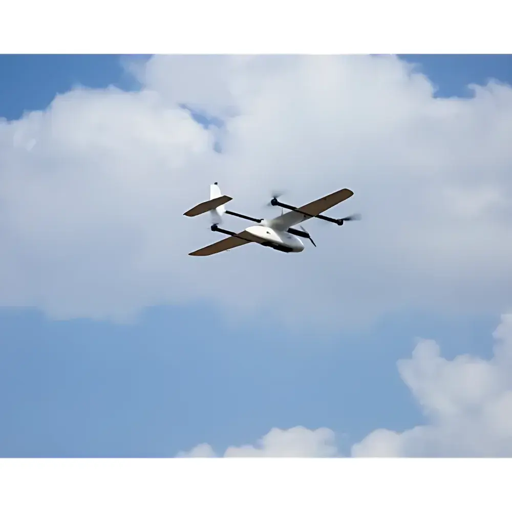
AZUP AZCW Series VTOL Fixed-Wing UAV System
| Brand | AZUP |
|---|---|
| Origin | Beijing, China |
| Manufacturer Type | OEM Manufacturer |
| Country of Origin | China |
| Model | AZCW Series |
| Price Range | USD 70,000 – 345,000 |
| Aircraft Type | VTOL Fixed-Wing UAV |
| Motor Span (Symmetrical) | 1600 mm |
| Dimensions (L×W×H) | 1700×1700×500 mm |
| Empty Weight | 6.5 kg |
| Payload Capacity | 10 kg |
| Max Takeoff Weight | 22 kg |
| Rain Resistance | Light Rain |
| Vertical Hover Accuracy | ±0.5 m |
| Horizontal Hover Accuracy | ±1.5 m |
| Max Tilt Angle | 35° |
| Max Ascent Speed | 5 m/s |
| Max Descent Speed | 4 m/s |
| Max Wind Endurance | 10 m/s |
| Max Level Flight Speed | 12 m/s |
| Max Operational Altitude | 4500 m |
| Endurance | >60 min |
| Gimbal Compatibility | 3-Axis Stabilized Gimbal or Custom Mount |
| Flight Controller | Redundant IMU + GNSS Integrated Avionics |
| Power System | Dual High-Performance LiPo Batteries |
| Operating Temperature | −10°C to +50°C |
Overview
The AZUP AZCW Series VTOL Fixed-Wing UAV System is an industrial-grade unmanned aerial platform engineered for high-efficiency ecological and environmental remote sensing operations. Combining the aerodynamic efficiency of a fixed-wing airframe with the operational flexibility of quadrotor vertical takeoff and landing (VTOL), this hybrid architecture eliminates dependency on prepared runways while retaining extended endurance, stable cruise performance, and long-range coverage capability. The system operates on a fully autonomous flight paradigm—enabled by a redundant inertial measurement unit (IMU) and multi-constellation GNSS navigation suite—supporting pre-programmed mission execution including transition between hover and forward flight, waypoint-based surveying, automatic terrain-following, and precision landing without real-time pilot input. Designed specifically for demanding environmental monitoring applications, the AZCW platform meets structural, thermal, and electromagnetic robustness requirements typical of field-deployed scientific instrumentation under ISO 9001-certified manufacturing conditions.
Key Features
- Hybrid VTOL configuration enables runway-independent deployment in mountainous, forested, aquatic, and urban-dense environments
- Redundant flight control architecture with dual IMU/GNSS fusion ensures high navigational integrity and fail-safe behavior during loss-of-GNSS or sensor degradation scenarios
- Modular payload interface supports rapid integration of calibrated scientific sensors including S185 hyperspectral imagers, multispectral cameras (e.g., MicaSense RedEdge-MX), thermal infrared modules (e.g., FLIR Vue Pro R), oblique photogrammetry rigs, and RGB frame-based survey cameras
- Optimized airframe design achieves >60 minutes nominal endurance at 12 m/s cruise speed with 10 kg payload capacity—enabling large-area mapping missions exceeding 50 km² per sortie under typical atmospheric conditions
- IP-rated avionics enclosure and conformal coating provide operational reliability in light rain and temperature extremes from −10°C to +50°C
- Three-axis stabilized gimbal mount ensures sub-pixel image registration stability during dynamic maneuvers and turbulence
Sample Compatibility & Compliance
The AZCW Series is compatible with standardized remote sensing payloads adhering to IEEE 1451.4 transducer electronic data sheet (TEDS) conventions and common UAV interface protocols (MAVLink v2.0, STANAG 4609-compliant metadata embedding). It supports georeferenced data acquisition compliant with ISO 19115 metadata standards and integrates seamlessly with post-processing workflows aligned with ASTM E2921 (Standard Practice for Remote Sensing Data Quality Assessment) and USGS NGP Digital Orthophoto Standard (DOS) specifications. The platform’s flight log and telemetry records include audit-trail timestamps, sensor calibration identifiers, and GNSS solution quality metrics—facilitating GLP-compliant data provenance documentation required for regulatory reporting in environmental impact assessments (EIA), biodiversity monitoring programs, and water resource management frameworks.
Software & Data Management
The AZCW system ships with AZUP Ground Control Station (GCS) software, a cross-platform application supporting mission planning, real-time telemetry visualization, live video downlink (via H.264/H.265 encoding), and automated flight log export in CSV/JSON formats. All raw sensor data are tagged with embedded EXIF/XMP metadata containing precise UTC timestamps, WGS84 coordinates, altitude above ellipsoid (MSL), camera orientation (roll/pitch/yaw), and IMU-derived acceleration vectors. For enterprise deployment, optional integration with cloud-based processing pipelines (e.g., Pix4Dengine, DroneDeploy Analytics API) enables automated orthomosaic generation, NDVI time-series analysis, thermal anomaly detection, and change detection across multi-temporal datasets—all traceable via configurable user access controls and encrypted TLS 1.3 transport.
Applications
- Wildfire risk assessment and post-burn vegetation recovery tracking in inaccessible forest canopies
- High-resolution topographic modeling of alpine terrain using structure-from-motion (SfM) photogrammetry
- Water quality parameter estimation (chlorophyll-a, turbidity, CDOM) via calibrated hyperspectral reflectance inversion
- Urban heat island mapping through synchronized visible–thermal infrared co-registration
- Linear infrastructure inspection (pipelines, transmission corridors, levees) with centimeter-level GCP-free accuracy using RTK/PPK differential positioning
- Endangered species habitat characterization using spectral unmixing and object-based image analysis (OBIA)
FAQ
Does the AZCW Series support PPK/RTK GNSS correction for survey-grade positioning?
Yes—the system includes a built-in dual-frequency GNSS receiver compatible with L1/L2 RTK base stations and post-processed kinematic (PPK) workflows using third-party correction services (e.g., Trimble RTX, CORS networks).
Can the platform be operated beyond visual line of sight (BVLOS) under regulatory authorization?
The AZCW Series meets DO-178C Level C airborne software certification prerequisites and supports UTM integration; BVLOS operation requires national aviation authority approval and implementation of detect-and-avoid (DAA) add-ons.
Is firmware update and health monitoring accessible remotely?
Firmware updates are delivered via secure OTA channels with SHA-256 signature verification; onboard diagnostics report battery cycle count, motor RPM history, IMU bias drift, and GNSS fix type (SPS/PPS/RTK) in real time.
What level of technical support is provided for payload integration?
AZUP offers engineering consultation for mechanical, electrical, and data interface integration—including custom mounting brackets, power distribution units, and SDK-level API access to sensor trigger synchronization and metadata injection.
Related Products


