EcoDrone UAS-8 Multispectral Unmanned Aerial Remote Sensing System
| Origin | Beijing, China |
|---|---|
| Manufacturer Type | Authorized Distributor |
| Origin Category | Domestic (China) |
| Model | UAS-8 |
| Pricing | Available Upon Request |
Overview
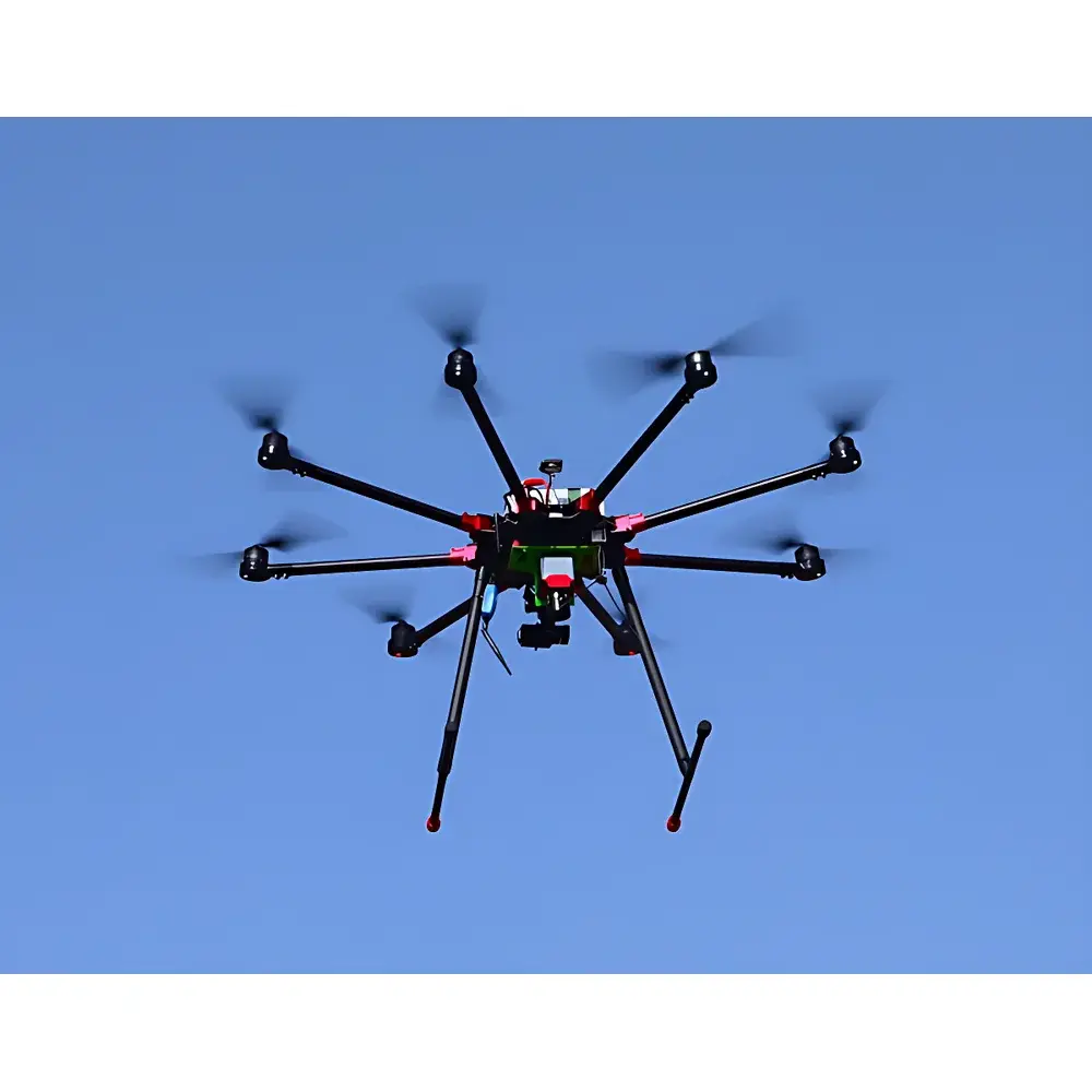
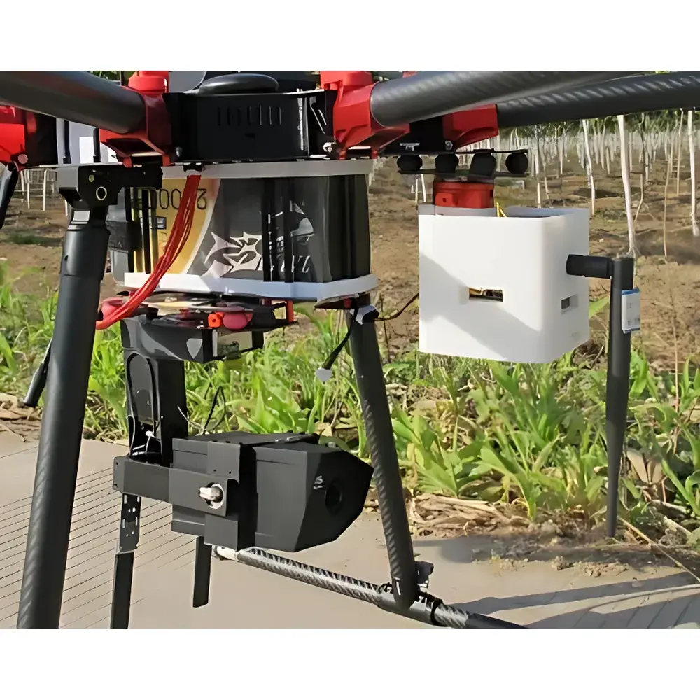
The EcoDrone® UAS-8 Multispectral Unmanned Aerial Remote Sensing System is a purpose-built, professional-grade UAV platform engineered for high-precision ecological and environmental remote sensing. Designed and integrated by EcolabTech Ecological Technology Co., Ltd., the system combines an in-house developed octocopter airframe with modular sensor integration architecture to support mission-critical applications in precision agriculture, forest health assessment, wetland monitoring, mineral exploration, and environmental impact evaluation. Its operational principle centers on synchronized georeferenced data acquisition using calibrated optical, thermal, spectral, and atmospheric sensors—each co-registered with centimeter-level GNSS/IMU positioning. The system adheres to foundational remote sensing principles including reflectance spectroscopy (400–1000 nm), thermal radiometry (7.5–13.5 µm), gas absorption imaging (3.2–3.4 µm), and particulate scattering analysis—enabling quantitative retrieval of biophysical and biochemical parameters such as NDVI, NDRE, CWSI, LAI, surface temperature, CH₄/CO₂ plume localization, and aerosol optical depth.
Key Features
- Octocopter airframe with 8 brushless motors, symmetrical 1200 mm rotor span, and foldable carbon-fiber arms (transport dimensions: 650 × 650 × 700 mm)
- Maximum takeoff weight of 16 kg, payload capacity up to 6 kg, and extended endurance: 50 min (no payload), 40 min (with multispectral payload)
- Dual-redundant open-source flight controller with real-time telemetry, GPS + GLONASS + BeiDou positioning, and ±0.2 m vertical / ±0.5 m horizontal hover accuracy
- Robust environmental operation: certified for flight at altitudes ≥5000 m AMSL, wind resistance up to 11 m/s (Beaufort Scale 6), and operational capability in light rain
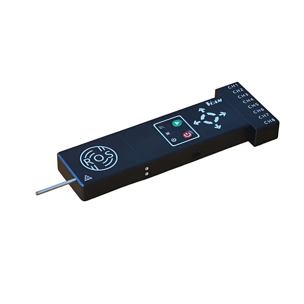
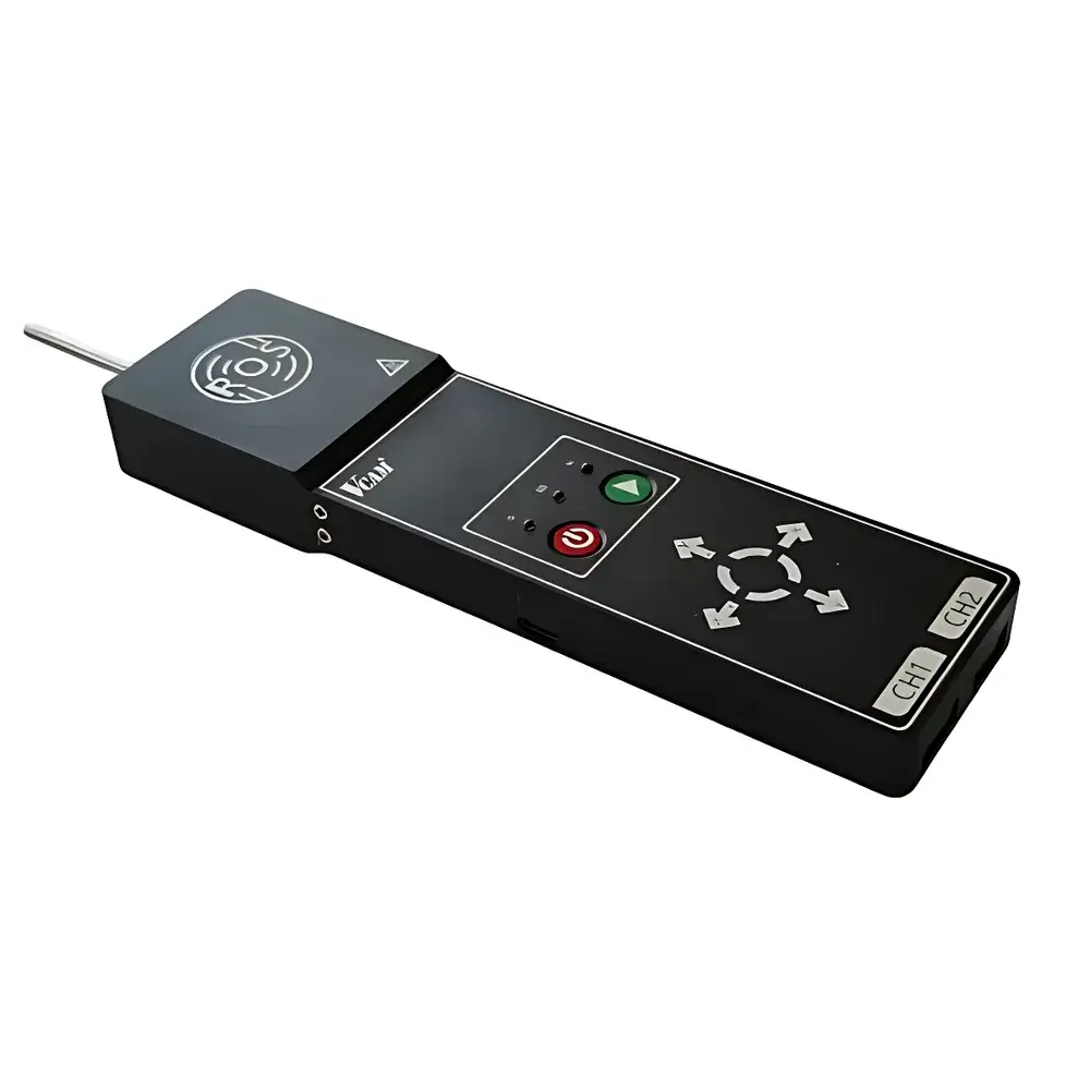
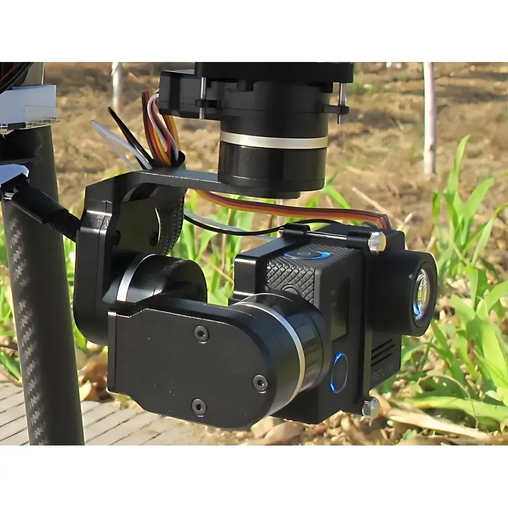
- Modular sensor bay supporting simultaneous dual-sensor mounting; hot-swappable interface compliant with industry-standard mechanical, power, and data protocols (e.g., MIPI, GigE Vision, CAN bus)
- Integrated ground control station (GCS) software for autonomous mission planning, terrain-aware waypoint navigation, real-time video downlink (HDMI/SDI/USB), and automatic RTH (Return-to-Home)
Sample Compatibility & Compliance
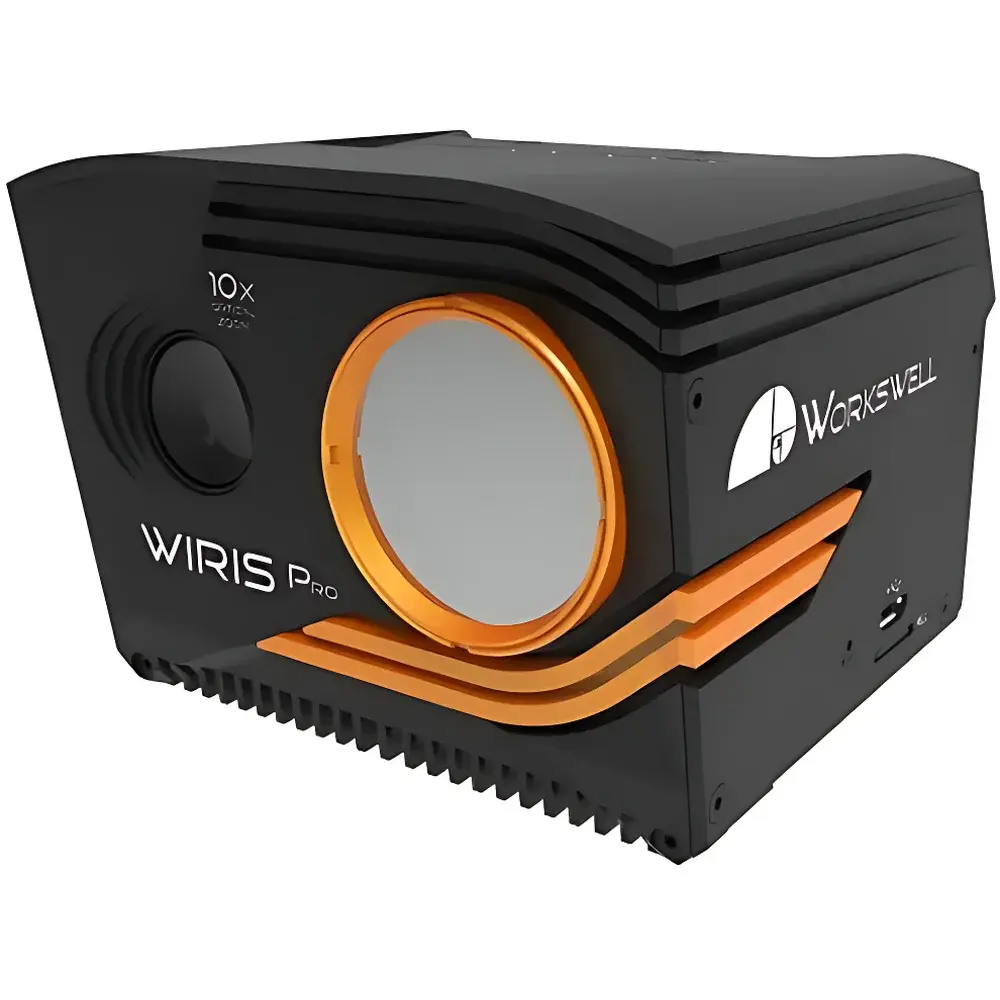
The UAS-8 is compatible with a broad spectrum of calibrated remote sensing payloads, including but not limited to RGB, multispectral (5- or 10-channel), hyperspectral (VNIR/NIR, 224 bands, 2.68 nm sampling), uncooled and cooled thermal imagers (640×512, 30 mK NETD), MWIR gas imaging cameras (320×240, 15 mK), and EPA-aligned airborne air quality modules (PM₂.₅/PM₁₀, CO₂, VOC, HCHO, RH/T). All sensor integrations maintain strict geometric and radiometric calibration traceability. Data acquisition workflows comply with ISO 19130-2 (geographic information — imagery sensor models), ASTM E2921 (standard practice for unmanned aircraft systems in environmental monitoring), and FAO’s Guidelines for UAV-Based Crop Monitoring. Sensor metadata embeds WGS84 coordinates, UTC timestamps, and EXIF-compliant radiometric headers to support reproducible scientific analysis and regulatory reporting under GLP/GMP frameworks.
Software & Data Management
The UAS-8 operates with a unified software ecosystem comprising the EcoFlight GCS (ground control station), EcoAnalyze post-processing suite, and optional cloud-based EcoCloud platform. EcoFlight supports mission scripting, no-fly zone enforcement, dynamic obstacle avoidance via ultrasonic + vision fusion, and live telemetry visualization—including battery state-of-charge, IMU health, GNSS fix quality, and payload status. Raw data streams are stored in standardized formats: GeoTIFF (multispectral/hyperspectral), radiometric JPEG/TIFF (thermal), NetCDF (atmospheric time-series), and CSV (air quality logs). EcoAnalyze implements ENVI-compatible band math, spectral unmixing, vegetation index mapping (e.g., NDVI, SAVI, OSAVI), thermal anomaly detection, and orthomosaic generation with sub-decimeter GSD. Audit trails, user access logs, and electronic signatures align with FDA 21 CFR Part 11 requirements for regulated environmental studies.
Applications
- Precision agriculture: canopy stress detection, nitrogen use efficiency mapping, irrigation scheduling via CWSI, and yield prediction modeling
- Forestry: species classification, deforestation alerting, bark beetle infestation early detection, and biomass estimation
- Wetland & coastal ecology: submerged aquatic vegetation (SAV) mapping, turbidity profiling, and methane emission hotspot identification
- Geological surveying: lithological boundary delineation, mineral alteration zone detection (e.g., clay, iron oxides), and structural lineament analysis
- Environmental compliance: landfill leachate plume tracking, industrial stack emission quantification, and post-remediation site validation
- Disaster response: wildfire perimeter mapping, flood extent assessment, and post-earthquake infrastructure damage classification
FAQ
Is the UAS-8 certified for commercial operations in the EU or USA?
Yes—when equipped with CE-marked payloads and operated under national aviation authority regulations (e.g., EASA SAIL Level 3, FAA Part 107), the platform meets technical prerequisites for BVLOS-capable environmental survey missions.
Can raw hyperspectral data be exported for third-party processing (e.g., Python, MATLAB)?
Yes—hyperspectral cubes are delivered in ENVI .hdr/.bin format with full wavelength calibration, FWHM metadata, and radiometric coefficients embedded in header files.
What level of radiometric calibration is provided with multispectral sensors?
All multispectral cameras include factory calibration certificates traceable to NIST standards, with onboard irradiance sensors and dark current compensation enabled during flight.
Does the air quality module meet reference-grade measurement equivalency per EU Directive 2008/50/EC?
While not a certified reference analyzer, the module complies with indicative measurement requirements (Annex III, Section B) for spatially distributed screening and trend analysis when cross-validated against stationary monitoring networks.
Is firmware and software updates provided remotely and free of charge during warranty?
Yes—EcoDrone delivers quarterly firmware patches and annual major software releases via secure OTA update channel, covered under standard 24-month hardware + software support agreement.