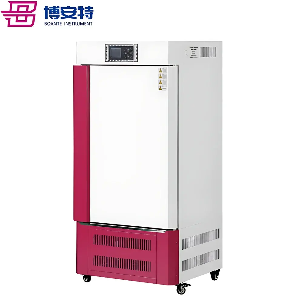
EcoTech WinSCANOPY Canopy Analyzer System
| Brand | EcoTech |
|---|---|
| Origin | Canada |
| Model | WinSCANOPY |
| Software Versions | WinSCANOPY Mini LS, Reg, Pro |
| Image Input | Hemispherical (fisheye) or narrow-angle canopy images |
| Platform | Windows OS |
| Compliance | Designed for ISO 13837, ASTM E2916, and FAO-recommended LAI protocols |
| Data Export | CSV, Excel, XML |
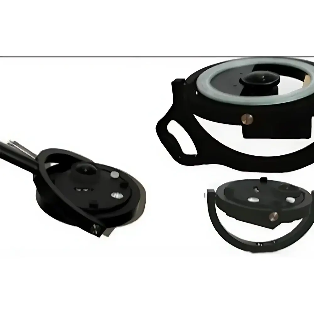
| Optional Hardware | Calibrated fisheye lens, tripod, remote shutter release |
| Upgrade Path | Linear version upgrade (Mini LS → Reg → Pro) via license key |
Overview
The EcoTech WinSCANOPY Canopy Analyzer System is a field-deployable, image-based instrumentation platform engineered for quantitative structural and radiometric characterization of plant canopies. It operates on the principle of hemispherical photography combined with validated digital image analysis algorithms to derive biophysically meaningful canopy descriptors—including Leaf Area Index (LAI), gap fraction, canopy openness, site factor, and Normalized Difference Vegetation Index (NDVI). The system captures high-resolution, distortion-corrected hemispherical images using a calibrated fisheye lens mounted on a professional-grade digital camera. These images are processed in Windows-based software that applies rigorous geometric correction, sky/vegetation classification (via thresholding and spectral indexing), and Monte Carlo-based light transmission modeling to compute canopy metrics aligned with international standards such as ISO 13837 (optical measurement of LAI) and FAO’s recommended protocols for forest and agroecosystem monitoring.
Key Features
- Fully modular architecture: Available as standalone software (WinSCANOPY Mini LS, Reg, or Pro) or as a complete hardware–software package including camera, factory-calibrated fisheye lens, and accessories.
- Three-tiered software licensing: WinSCANOPY Mini LS supports basic LAI and solar radiation modeling; Reg adds multi-layer canopy segmentation and NDVI integration; Pro enables batch processing, georeferenced image stitching, and advanced statistical reporting.
- Linear upgrade path: Users may incrementally transition between versions by paying only the differential license fee—no reinstallation or data migration required.
- Hardware-agnostic compatibility: Supports a range of DSLR and mirrorless cameras (Nikon, Canon, Sony) when paired with an EcoTech-certified fisheye lens (e.g., 8mm f/3.5 full-frame circular fisheye with known projection model).
- Robust environmental operation: Field-ready design accommodates variable lighting conditions, temperature gradients (−10°C to 45°C), and humidity levels typical of temperate, boreal, and subtropical ecosystems.
Sample Compatibility & Compliance
WinSCANOPY is optimized for vegetation structures ranging from low-stature herbaceous canopies (e.g., grasslands, crop stands) to complex multi-layered forest canopies. It accepts both upward-looking hemispherical images (for LAI, gap fraction, sky exposure) and downward-looking narrow-angle images (for fractional cover, species-level canopy mapping). All algorithmic outputs adhere to metrological traceability principles outlined in ISO/IEC 17025 for analytical instrumentation. The software implements audit-trail logging for GLP-compliant workflows and supports export formats compatible with regulatory submissions under USDA-NRCS, EU CAP monitoring frameworks, and IPCC Tier 2 carbon stock estimation guidelines.
Software & Data Management
WinSCANOPY software runs natively on Windows 10/11 (64-bit) and integrates seamlessly with Microsoft Excel via the XLScanopy add-in—a dedicated plugin enabling real-time visualization of spatial canopy metrics across transects or grids. Raw image metadata (EXIF, GPS tags, time stamps) are preserved throughout processing. Each analysis session generates a structured output file containing parameter estimates, confidence intervals (based on pixel-wise variance mapping), and intermediate binary masks. Version Pro includes encrypted project archives, role-based user permissions, and optional 21 CFR Part 11–compliant electronic signature modules for regulated research environments.
Applications
- Forest ecology: Long-term monitoring of canopy closure dynamics in response to climate stressors or silvicultural interventions.
- Agricultural research: Quantifying crop canopy development for irrigation scheduling, nitrogen use efficiency modeling, and yield forecasting.
- Urban forestry: Assessing shade provision, solar access, and microclimate regulation in city planning contexts.
- Ecophysiology: Correlating LAI and NDVI with gas exchange measurements (e.g., from portable photosynthesis systems) to parameterize stomatal conductance models.
- Remote sensing validation: Ground-truthing satellite-derived vegetation indices (e.g., MODIS LAI, Sentinel-2 NDVI) at plot scale.
FAQ
What camera models are officially supported?
EcoTech provides calibration profiles for Nikon D750/D850, Canon EOS R5/R6, and Sony A7 IV when used with the EcoTech 8mm f/3.5 fisheye lens. Custom calibration services are available for other configurations.
Can WinSCANOPY process drone-captured nadir images?
Yes—Version Pro supports orthorectified nadir imagery for fractional cover estimation, provided ground control points and EXIF geotags are embedded.
Is cloud-based processing or API access available?
No native cloud service is offered; all computation occurs locally to ensure data sovereignty and reproducibility. However, batch scripts and COM automation interfaces allow integration into custom Python or MATLAB pipelines.
How is lens calibration performed?
Each fisheye lens undergoes factory calibration using a precision goniometric rig to characterize radial distortion, vignetting, and effective focal length—parameters embedded in proprietary .lens files read during image import.
Does WinSCANOPY comply with FDA or EU regulatory requirements?
While not a medical device, WinSCANOPY Pro meets documentation and traceability criteria for GLP/GMP-aligned environmental monitoring per OECD Series on Testing and Assessment No. 122 and EU Regulation (EC) No 1107/2009 Annex VI.
Related Products