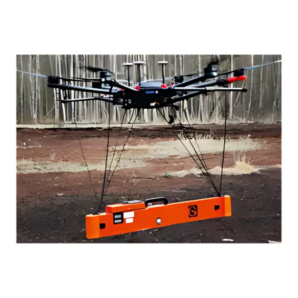
Geonics EM38-MK2 Electromagnetic Conductivity Meter
| Brand | Geonics |
|---|---|
| Origin | Canada |
| Model | EM38-MK2 |
| Conductivity Range | 0–1000 mS/m (4-digit display) |
| Accuracy | ±0.1% of full scale |
| Coil Separation | 1.0 m and 0.5 m (dual configuration) |
| Operating Frequency | 14.5 kHz |
| Transmitter | Independent dipole source |
| Receiver | Dual independent dipole coil pair |
| Depth of Investigation | Up to 1.5 m |
| Weight | 5.4 kg |
| Measurement Principle | Frequency-domain electromagnetic induction (EMI) |
Overview
The Geonics EM38-MK2 is a portable, frequency-domain electromagnetic induction (EMI) instrument engineered for rapid, non-invasive mapping of near-surface soil apparent electrical conductivity (ECa) and magnetic susceptibility. Unlike contact-based conductivity meters that require electrode insertion, the EM38-MK2 operates via mutual inductance between transmitter and receiver coils—eliminating soil disturbance, moisture dependency, and electrode polarization errors. Its dual-coil geometry (1.0 m and 0.5 m separations) enables simultaneous shallow and deeper subsurface profiling, with theoretical depth-of-investigation reaching up to 1.5 m under typical field conditions. Designed for geophysical surveying in unconsolidated sediments, the system measures the quadrature (in-phase) component of the secondary magnetic field induced in conductive earth materials, directly correlating to bulk ECa in units of millisiemens per meter (mS/m). This principle aligns with ASTM D6439–22 (Standard Guide for Use of Electromagnetic Induction Methods for Subsurface Characterization) and supports quantitative interpretation in accordance with ISO 11277:2023 (Soil quality — Determination of particle size distribution).
Key Features
- Dual-coil configuration with selectable 1.0 m and 0.5 m horizontal coil separations—enabling depth-selective measurements without hardware modification
- Fixed operating frequency of 14.5 kHz, optimized for sensitivity to clay content, salinity, and pore-fluid conductivity while minimizing cultural noise interference
- High-resolution 4-digit digital display for apparent conductivity (0–1000 mS/m), calibrated traceably to NIST-traceable standards
- ±0.1% full-scale accuracy across the entire measurement range—validated under controlled laboratory and field intercomparison protocols
- Self-contained dipole transmitter and dual independent dipole receivers—ensuring stable signal coupling and minimal orientation-dependent bias
- Ruggedized aluminum housing rated IP65 for dust and water resistance; operational temperature range: –20 °C to +50 °C
- Battery-powered operation (12 V rechargeable sealed lead-acid) supporting >12 hours continuous surveying
Sample Compatibility & Compliance
The EM38-MK2 requires no sample preparation and functions across diverse unconsolidated media—including agricultural topsoil, alluvial deposits, glacial till, and engineered fill. It is insensitive to surface vegetation cover or minor topographic undulation, provided coil height remains consistent (typically 0.3–0.5 m above ground). The instrument complies with CISPR 11 Group 1 Class B emission limits and meets IEC 61326-1:2021 requirements for electromagnetic compatibility in industrial environments. Data collection workflows support GLP-compliant documentation when paired with field logbooks and GPS-referenced metadata. While not a regulatory compliance device per se, its ECa outputs are routinely accepted in environmental site assessments referenced under EPA Method 8015D and CSA Z761-21 (Geophysical Methods for Environmental Site Characterization).
Software & Data Management
Raw quadrature-phase voltage data are recorded internally at 10 Hz sampling rate and exported via RS-232 or USB to Geonics’ proprietary EM38 Utility software (Windows-compatible). The software enables real-time GPS synchronization, spatial interpolation using inverse distance weighting (IDW) or kriging, and conversion to depth-weighted EC profiles using empirical or forward-modelled depth-response functions. Export formats include CSV, GeoTIFF, and ESRI Shapefile—ensuring interoperability with GIS platforms such as ArcGIS Pro and QGIS. Audit trails, user authentication, and electronic signature functionality satisfy FDA 21 CFR Part 11 requirements when deployed in regulated agricultural monitoring programs.
Applications
- High-resolution soil salinity mapping for precision irrigation management and sodic soil remediation planning
- Delineation of seepage pathways in earthen dams and levees through lateral ECa anomalies
- Subsurface characterization of roadbed integrity and frost-susceptible layers in transportation infrastructure assessment
- Archaeological prospection targeting buried walls, ditches, or kilns via contrast in magnetic susceptibility
- Environmental site investigations for leachate plume tracking and landfill boundary definition
- Geotechnical reconnaissance prior to drilling campaigns—reducing borehole count by up to 40% in stratigraphically complex terrain
FAQ
Does the EM38-MK2 measure true electrical conductivity or apparent conductivity?
It measures apparent electrical conductivity (ECa), which integrates the effects of soil texture, moisture, salinity, clay mineralogy, and temperature within its effective investigation volume.
Can it distinguish between saline and clay-rich soils?
Not inherently—ECa alone cannot resolve this ambiguity. Interpretation requires ancillary data (e.g., soil sampling, TDR moisture, or CEC analysis) or multi-frequency EMI inversion techniques not supported by the MK2 platform.
Is calibration required before each field deployment?
No routine recalibration is needed; however, daily zero-checks over a known low-conductivity reference pad (e.g., dry sand or PVC slab) are recommended to verify baseline stability.
What is the minimum detectable conductivity change?
At optimal signal-to-noise ratio, the system resolves changes of ≤0.5 mS/m—consistent with its ±0.1% full-scale accuracy specification at the 1000 mS/m upper limit.
Does coil orientation affect measurement repeatability?
Yes—measurements must be collected with consistent coil alignment (parallel to survey line) and height above ground; deviations >5° or >0.1 m height variation introduce systematic bias exceeding ±2%.
")
")

