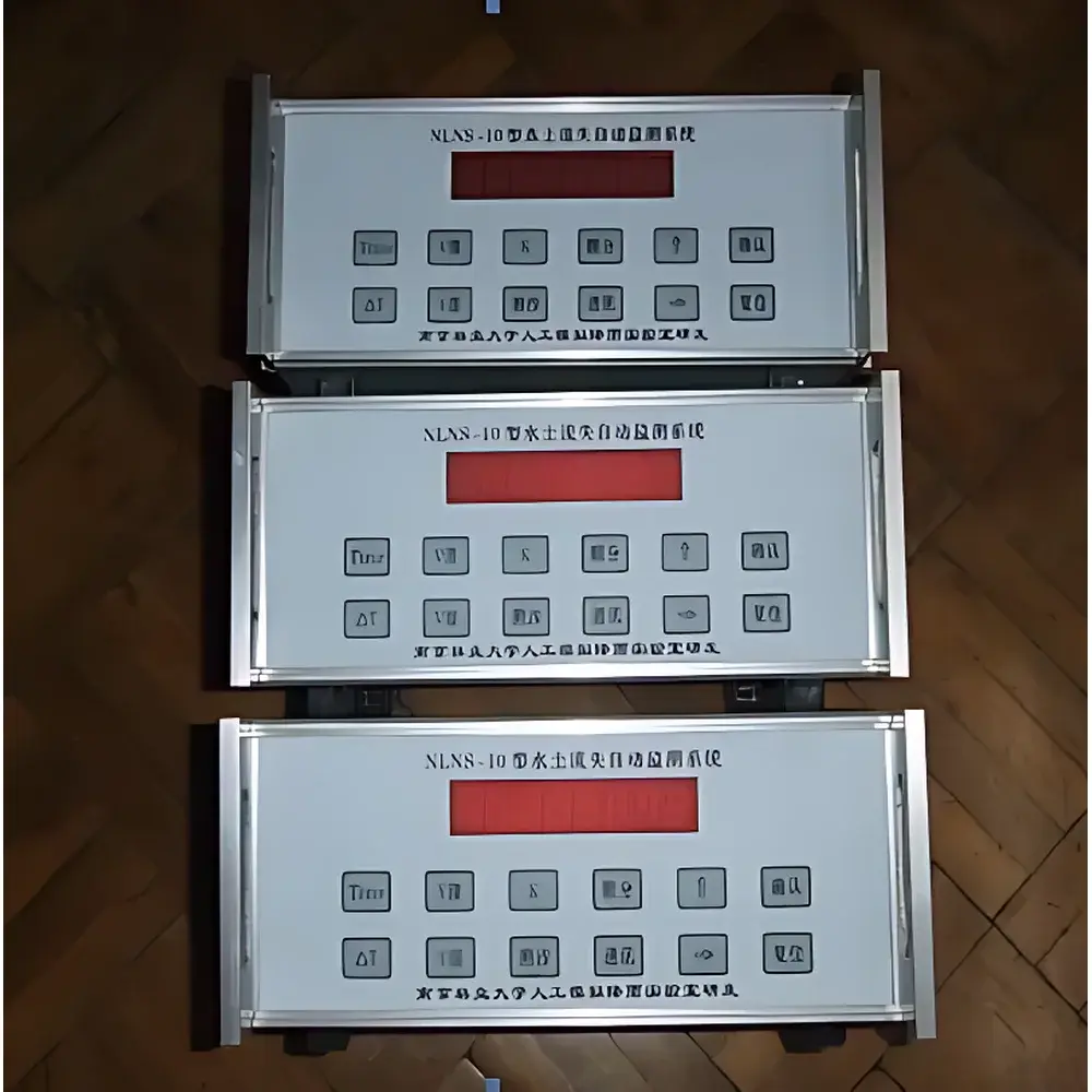
HQNS-13 Automated Soil Erosion and Sediment Yield Monitoring System
| Origin | Beijing, China |
|---|---|
| Manufacturer Type | Authorized Distributor |
| Origin Category | Domestic (PRC) |
| Model | HQNS-13 |
| Quotation | Upon Request |
| Instrument Type | Environmental Sediment & Runoff Analyzer |
| Flow Measurement Accuracy | ≤0.2% FS |
| Suspended Sediment Concentration (SSC) Accuracy | ≤3% FS |
| Sampling Interval | 2–99 min (configurable) |
| SSC Measurement Ranges | 0–30 kg/m³ (±0.3 kg/m³), 30–250 kg/m³ (±4 kg/m³), 0–1000 kg/m³ (±17 kg/m³) |
| Water Level Resolution | <0.1 cm |
| Max. Data Channels | 6 |
| Power Consumption | <5 W |
| Operating Temperature | 0–60 °C (non-freezing) |
| Storage | −40–80 °C |
| Standby Runtime on Battery Backup | 7 days |
| Communication | RS-232 local download |
| 堰Flow Computation Models | Preloaded Weir Hydraulics Library (e.g., V-notch, rectangular, compound weirs) |
| Data Storage | Onboard non-volatile memory (capacity supports ≥1 year at 15-min interval) |
| Sensor Configuration | Up to 12 SSC sensors or 6 flow + SSC sensor pairs |
Overview
The HQNS-13 Automated Soil Erosion and Sediment Yield Monitoring System is an integrated, field-deployable environmental instrumentation platform engineered for high-reliability, long-term quantification of runoff volume and suspended sediment concentration (SSC) in watershed-scale hydrological monitoring. It operates on the principle of combined hydraulic modeling and optical transmittance-based sediment sensing: water level is measured continuously across a calibrated weir structure (V-notch, rectangular, or compound), and real-time discharge is computed using pre-validated ISO 4359-compliant open-channel flow equations embedded in the system’s firmware. Simultaneously, up to twelve vertically distributed photoelectric turbidity sensors measure spatial SSC gradients across the flow cross-section—enabling accurate volumetric sediment load calculation via integration of concentration profiles with time-series discharge data. Designed for unattended operation in remote catchments, the HQNS-13 meets core requirements for scientific reproducibility in soil conservation research, regulatory compliance reporting (e.g., China’s SL 277–2022 Technical Specification for Soil and Water Conservation Monitoring), and long-term ecological observatory networks.
Key Features
- Multi-point suspended sediment profiling: Standard configuration includes four vertically aligned photoelectric SSC sensors per cross-section, supporting optional expansion to twelve sensors for high-fidelity vertical concentration gradient analysis.
- Hydraulic integrity assurance: Integrated weir-level measurement with ±0.1 cm resolution and built-in temperature-compensated ultrasonic or pressure-based water level transducers.
- Adaptive power architecture: Dual-mode solar-charged battery system with intelligent low-power sleep cycling—active only during scheduled sampling or event-triggered acquisition (e.g., rainfall onset detected via auxiliary rain gauge input).
- Robust data governance: Onboard non-volatile memory retains ≥1 year of 15-minute interval data (flow, SSC, rainfall, temperature); timestamped entries include hardware checksums and sensor health flags.
- Configurable temporal resolution: User-defined sampling intervals from 2 to 99 minutes per parameter group, independently adjustable for rainfall, water level, and SSC channels.
- Field-serviceable calibration interface: RS-232 port enables direct connection to laptop for clock synchronization, sensor zero/span verification, and firmware updates without disassembly.
Sample Compatibility & Compliance
The HQNS-13 is validated for use in natural and anthropogenically disturbed watersheds, including agricultural runoff plots, gully erosion sites, small catchment outlets (<50 km²), and simulated rainfall laboratories. Its photoelectric SSC sensors are insensitive to organic turbidity interference typical of algal blooms or dissolved humic substances—performance verified per ASTM D3977-22 Annex A3 for suspended solids instrumentation. The system conforms to GLP-aligned data integrity practices: all measurements carry immutable UTC timestamps, sensor ID tags, and audit-trail metadata. Remote data transmission via PSTN modem satisfies legacy infrastructure constraints in rural monitoring networks and complies with national standards SL 277–2022 and HJ/T 92–2002 for environmental monitoring data transmission protocols. While not FDA 21 CFR Part 11-certified (as it is not used in pharmaceutical contexts), its logging architecture supports third-party validation for ISO/IEC 17025-accredited laboratories performing erosion-related method validation.
Software & Data Management
The HQNS-13 is managed through two complementary software layers: (1) Embedded firmware on the main control unit handles real-time acquisition, sensor linearization, weir-based flow computation (using ISO 4359, USBR Water Measurement Manual, and empirical Chinese hydraulic coefficients), and onboard data compression; (2) PC-based HQNS Manager software provides visualization, post-processing, and reporting functions—including dynamic time-series overlays of rainfall intensity, runoff hydrograph, and SSC concentration curve; automated calculation of event-based metrics (total runoff depth, sediment yield per unit area, peak SSC timing); and export to CSV, Excel, or GIS-ready formats (e.g., shapefile-compatible attribute tables). All software modules enforce role-based access control, session logging, and electronic signature capture for QA/QC review workflows—supporting traceability requirements under GB/T 32742–2016 (Environmental Monitoring Data Quality Management Specification).
Applications
- Long-term monitoring of sediment yield at watershed outlets for national soil conservation inventory programs.
- Validation of erosion prediction models (e.g., RUSLE, WEPP, SWAT) using field-measured sediment load time series.
- Calibration and verification of rainfall-runoff-sediment transport simulators in controlled plot experiments.
- Real-time early warning for debris flow initiation in steep terrain where rapid SSC rise precedes hydrological threshold exceedance.
- Regulatory compliance reporting for construction site erosion and sediment control (ESC) plans under local environmental protection ordinances.
- Integration into national ecological observation networks (e.g., CERN—Chinese Ecosystem Research Network) requiring standardized, interoperable hydrometeorological data streams.
FAQ
What hydraulic structures are compatible with the HQNS-13’s flow computation module?
The system includes preloaded computational models for standard weirs (90° V-notch, rectangular suppressed/contracted, trapezoidal, and compound weirs) per ISO 4359 and USBR guidelines. Custom weir geometry parameters can be entered manually for site-specific calibration.
Can the HQNS-13 operate without cellular or internet connectivity?
Yes—it is designed for PSTN (analog telephone line) telemetry as primary remote communication; no cellular subscription or IP infrastructure is required. Local data retrieval via RS-232 remains fully functional offline.
How is sensor drift mitigated during extended deployments?
The photoelectric SSC sensors feature automatic dark-current compensation and periodic self-diagnostic routines. Field recalibration is supported via reference suspension standards (ISO 11926) introduced at inlet ports during maintenance visits.
Is rainfall measurement integrated or optional?
Rainfall sensing is an optional but recommended auxiliary channel; the system accepts pulse-output tipping-bucket gauges (0.2 mm resolution) and logs concurrent precipitation data alongside runoff and SSC for event-based analysis.
What data security measures are implemented for remote transmission?
PSTN transmissions use serial protocol handshaking with CRC-16 error detection. No authentication or encryption is applied at the modem layer—consistent with operational norms for SCADA-grade environmental telemetry in resource-constrained settings.


