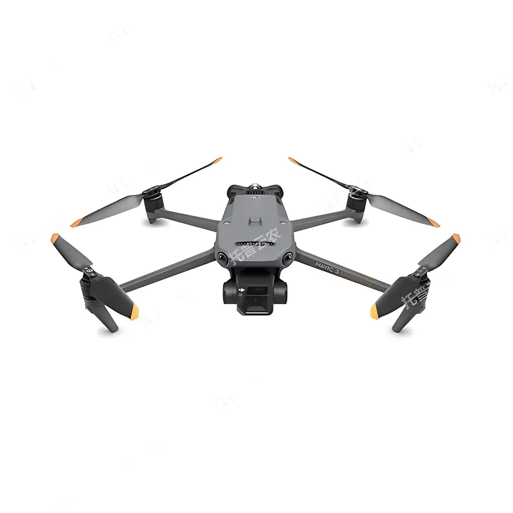
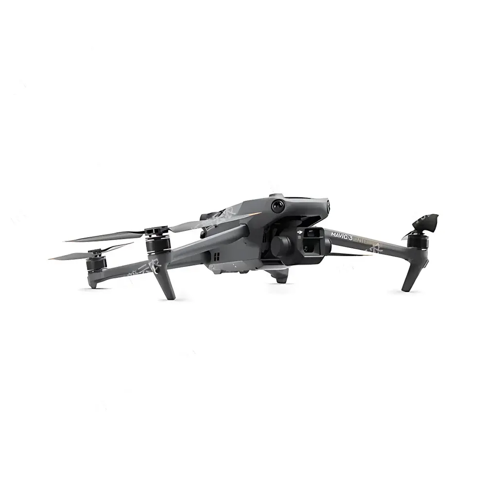
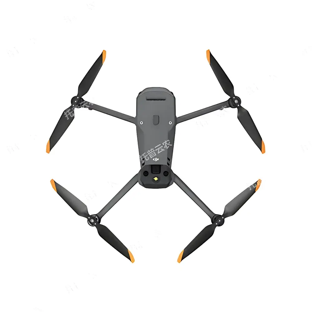
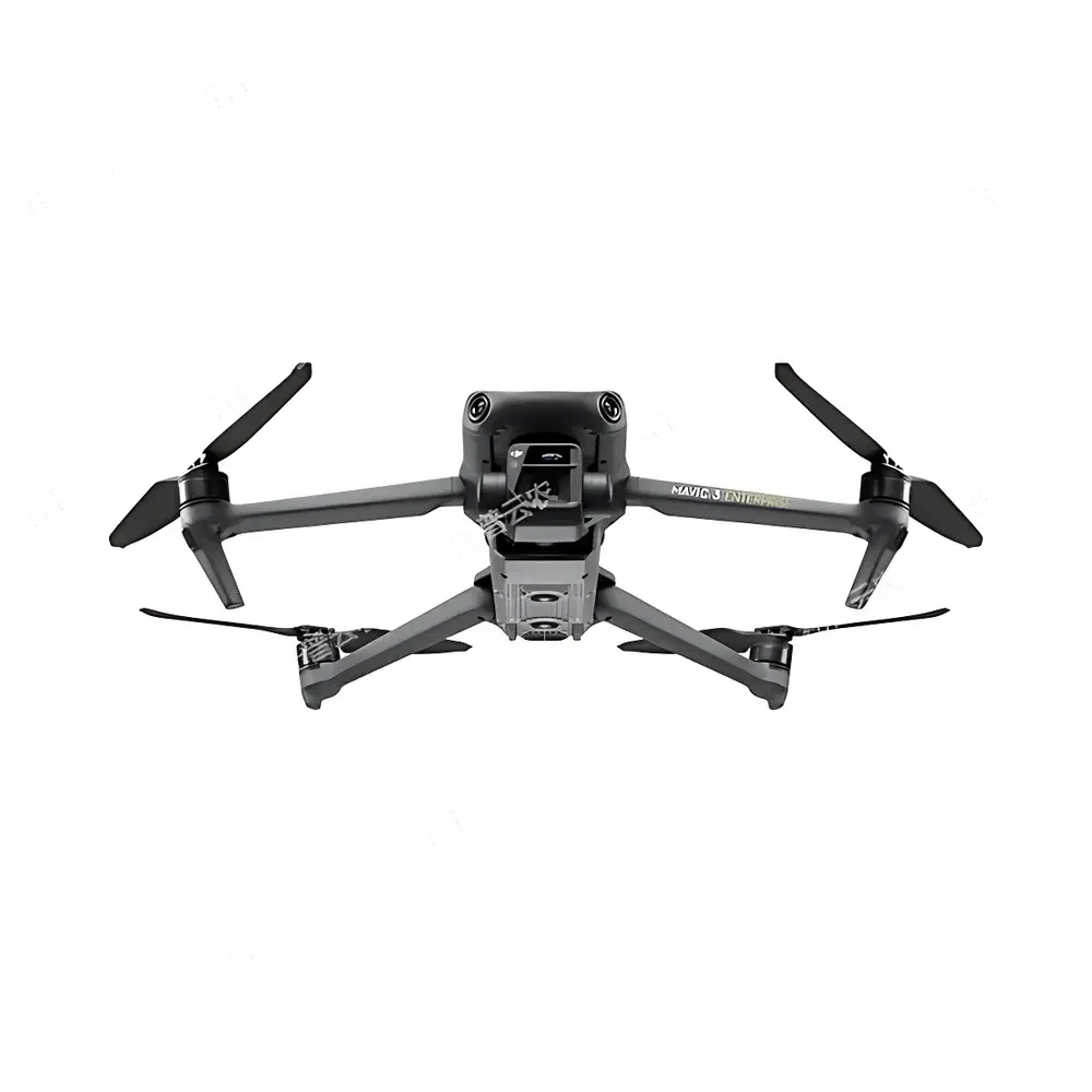
Top Cloud-agri TP-DGP Multispectral UAV-Based Plant Phenotyping Platform
| Brand | Top Cloud-agri |
|---|---|
| Origin | Zhejiang, China |
| Manufacturer Type | OEM/ODM Producer |
| Country of Origin | China |
| Model | TP-DGP (Multispectral) |
| Pricing | Upon Request |
| Flight Endurance | >40 min |
| Max Flight Radius | 15 km |
| Horizontal Speed | 21 m/s |
| Wind Resistance | 12 m/s |
| RTK Positioning Accuracy | 1 cm + 1 ppm (horizontal), 1.5 cm + 1 ppm (vertical) |
| Visible Light Camera | 4/3" CMOS, 20 MP, 84° FOV, 24 mm equiv. focal length, JPEG/DNG output |
| Multispectral Sensor | 1/2.8" CMOS, 5 MP, 73.91° FOV (61.2° × 48.1°), 25 mm equiv. focal length, bands: G (560 ±16 nm), R (650 ±16 nm), RE (730 ±16 nm), NIR (860 ±26 nm), TIFF output, Gain: 1x–32x |
| Real-time Video Transmission | 1080p/30fps |
| Operating Temperature | −10°C to 40°C |
Overview
The Top Cloud-agri TP-DGP Multispectral UAV-Based Plant Phenotyping Platform is an integrated remote-sensing system engineered for high-throughput, non-destructive plant phenotyping in field environments. It operates on the principle of passive optical remote sensing—capturing reflectance signatures across discrete spectral bands (green, red, red edge, and near-infrared) from low-altitude UAV flights—and converts these radiometric data into biophysically meaningful vegetation indices (e.g., NDVI, NDRE, GNDVI, CIred-edge). These indices correlate with physiological and structural traits including chlorophyll content, canopy density, water status, nitrogen use efficiency, and stress-induced spectral shifts. Designed specifically for agronomic research and breeding programs, the platform bridges the gap between genotype and phenotype by delivering spatially explicit, time-series trait measurements at plot- and field-scale resolution—enabling longitudinal monitoring of crop development under real-world environmental variability.
Key Features
- Automated multispectral data acquisition via pre-programmed flight missions with centimeter-level RTK-GNSS positioning accuracy (1 cm + 1 ppm horizontal)
- Integrated dual-sensor payload: 20-megapixel visible-light camera (4/3″ CMOS, DNG RAW support) and calibrated 5-megapixel multispectral imager with narrowband filters aligned to ASTM E2597-compliant spectral response profiles
- Field-deployable AI inference engine supporting real-time or post-flight analysis of 17+ quantitative phenotypic traits—including emergence rate, canopy cover, plant height (via DSM generation), lodging severity, panicle count, tassel detection in maize, NDVI dynamics, yield proxy estimation, and abiotic/biotic stress quantification
- GIS-integrated web dashboard with georeferenced map layers, dynamic parcel boundary management, and attribute-based filtering (soil type, crop variety, sowing date)
- IoT interoperability: native integration with on-ground sensors (weather stations, soil moisture probes, leaf wetness sensors) for fused environmental–phenotypic modeling
- Full traceability workflow: audit-log enabled operations tracking (application timing, input materials, operator ID), compliant with GLP-aligned data integrity requirements
- Self-calibrating deep learning models: manual annotation feedback loop enables continuous model refinement without retraining infrastructure dependency
- Multi-format export capability: structured tabular outputs (Excel), geospatial rasters (GeoTIFF), statistical visualizations (PNG/PDF), and interactive dashboards for cross-study meta-analysis
Sample Compatibility & Compliance
The TP-DGP platform is validated for use with major cereal and row crops including Oryza sativa (rice), Triticum aestivum (wheat), Zea mays (maize), soybean (Glycine max), and cotton (Gossypium hirsutum). Its multispectral band configuration conforms to ISO 11727:2017 guidelines for vegetation index consistency and supports derivation of USDA-recommended spectral indices used in NASS crop condition assessments. The system meets CE marking requirements for unmanned aerial systems operating within Class C1 (low-risk open category) under EU Regulation 2019/947. All image processing pipelines are documented per ISO/IEC 17025:2017 Annex A.3 for measurement uncertainty estimation, and raw sensor metadata (exposure, gain, GPS timestamp, IMU orientation) is embedded in EXIF and XMP headers to ensure FAIR (Findable, Accessible, Interoperable, Reusable) data principles.
Software & Data Management
The proprietary PhenotypeCloud™ software suite provides a secure, role-based web interface accessible via modern browsers (Chrome, Edge, Firefox). It implements end-to-end encryption (AES-256 at rest, TLS 1.3 in transit) and supports two-factor authentication. All analytical workflows—including orthomosaic generation, band math, supervised classification, and trait extraction—are reproducible via version-controlled Python scripts exported directly from the UI. Audit trails record every user action, parameter change, and model update in accordance with FDA 21 CFR Part 11 requirements for electronic records and signatures. Raw datasets are archived in hierarchical object storage with immutable WORM (Write Once Read Many) retention policies; processed outputs are linked to original acquisitions through persistent UUIDs. API endpoints (RESTful JSON) enable integration with LIMS, ELN, and breeding management systems (e.g., BreedBase, FieldBook).
Applications
- Crop Breeding Programs: Accelerated selection of drought-tolerant, disease-resistant, or high-biomass lines using time-series NDRE and canopy temperature differentials
- Academic Research: Validation of gene-editing outcomes in controlled-environment trials extended to field-scale expression profiling
- Precision Agronomy: Variable-rate application guidance derived from within-field nutrient status maps (e.g., SPAD-equivalent estimates from R/RE ratios)
- Regulatory Trial Monitoring: Objective, auditable documentation of treatment effects in OECD-compliant field efficacy studies
- National Agricultural Surveillance: Scalable deployment for regional crop health assessment, pest outbreak mapping, and yield forecasting under national digital agriculture initiatives
FAQ
What spectral bands does the TP-DGP multispectral camera capture?
It acquires four discrete bands: Green (560 ±16 nm), Red (650 ±16 nm), Red Edge (730 ±16 nm), and Near-Infrared (860 ±26 nm), all with factory-calibrated radiometric response curves.
Is the system compatible with third-party GIS or breeding software?
Yes—PhenotypeCloud™ exposes RESTful APIs for bidirectional synchronization with QGIS, ArcGIS Pro, BreedBase, and Microsoft Power BI via documented JSON schemas.
How is positional accuracy ensured during data collection?
All flights utilize onboard dual-antenna RTK GNSS modules delivering real-time horizontal accuracy of 1 cm + 1 ppm and vertical accuracy of 1.5 cm + 1 ppm, traceable to ITRF2014 reference frame.
Can the platform operate under regulatory frameworks requiring data integrity compliance?
Yes—the software enforces ALCOA+ principles (Attributable, Legible, Contemporaneous, Original, Accurate, Complete, Consistent, Enduring, Available) and supports 21 CFR Part 11-compliant electronic signatures and audit logs.
What is the recommended minimum flying altitude for optimal pixel resolution?
For sub-centimeter ground sampling distance (GSD) targeting phenotypic features such as individual tassels or early-stage lodging, operation at 30–50 m AGL is recommended, yielding GSD of 1.2–2.0 cm/pixel depending on sensor configuration.