Top Cloud-agri TP-plant-HIPS Drone-Based High-Throughput Field Plant Phenotyping Platform
| Brand | Top Cloud-agri |
|---|---|
| Origin | Zhejiang, China |
| Manufacturer Type | Direct Manufacturer |
| Regional Classification | Domestic (China) |
| Model | TP-plant-HIPS |
| Pricing | Upon Request |
Overview
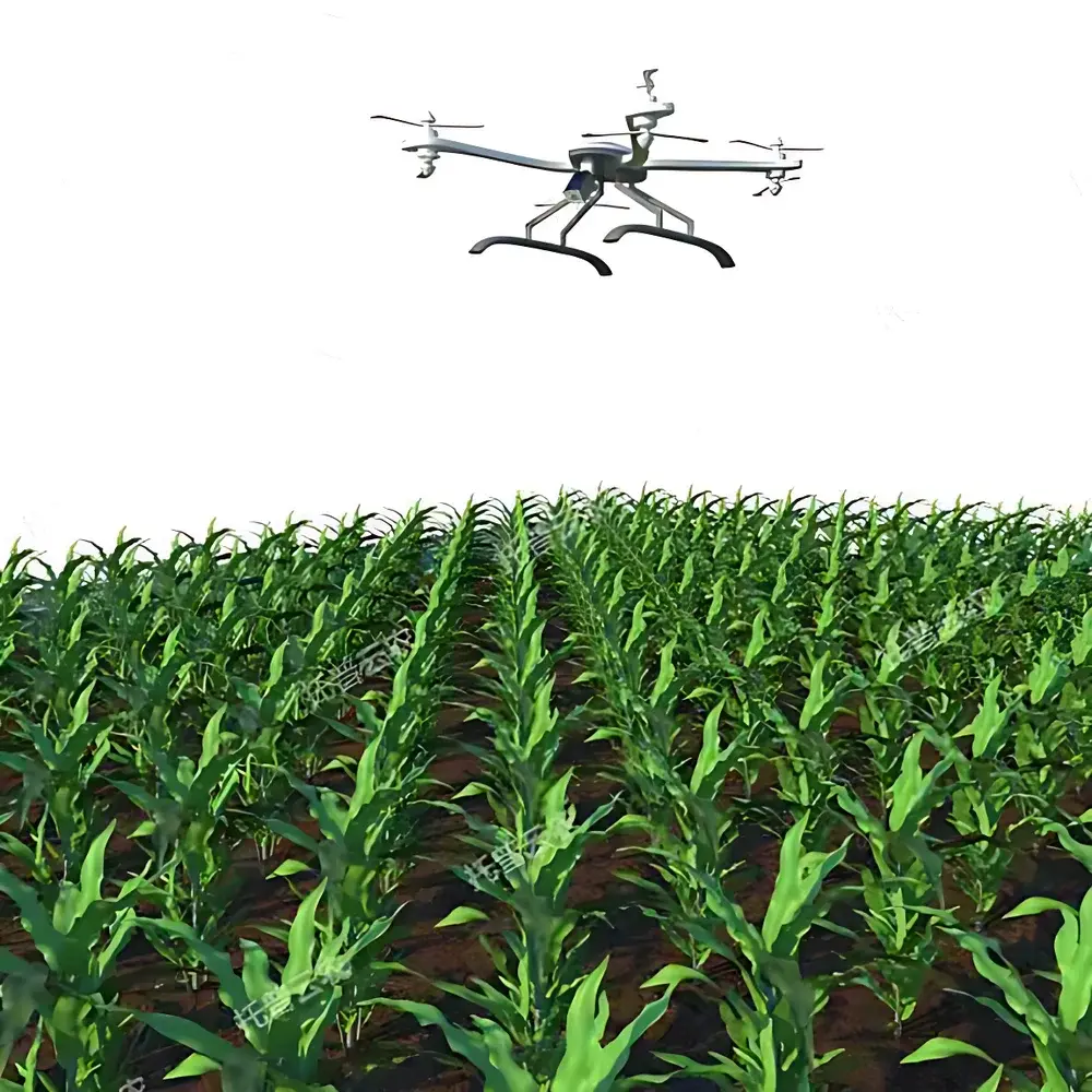
The Top Cloud-agri TP-plant-HIPS Drone-Based High-Throughput Field Plant Phenotyping Platform is an integrated aerial phenotyping system engineered for non-destructive, spatially explicit, and time-series quantification of morphological, physiological, and biochemical traits in field-grown plant populations. Leveraging unmanned aerial vehicle (UAV) platforms equipped with synchronized multisensor payloads, the system implements passive optical remote sensing principles—including reflectance spectroscopy across visible, near-infrared (NIR), short-wave infrared (SWIR), and thermal infrared bands—to derive quantitative phenotypic descriptors at canopy and sub-canopy scales. Designed specifically for agronomic field trials and breeding nurseries, it enables scalable acquisition of trait data across hectares per flight, supporting genotype-by-environment (G×E) interaction studies, selection index development, and dynamic monitoring of crop developmental stages under real-world growing conditions.
Key Features
- Modular sensor integration: Interchangeable payload bays support concurrent or sequential deployment of RGB, multispectral (e.g., 5–10 discrete bands centered at 550 nm, 660 nm, 730 nm, 780 nm, 850 nm), hyperspectral (VNIR range: 400–1000 nm, spectral resolution ≤ 5 nm), and thermal infrared (TIR) imaging modules—each calibrated to NIST-traceable standards.
- Autonomous flight orchestration: Predefined mission planning via georeferenced waypoints; onboard GNSS/IMU fusion navigation with RTK-level positioning accuracy (≤ 2 cm horizontal); real-time obstacle detection and avoidance using stereo vision and ultrasonic sensors.
- Onboard edge processing: Embedded AI-accelerated inference engine performs real-time vegetation index computation (e.g., NDVI, NDRE, GNDVI, PRI), canopy cover estimation, and anomaly detection (e.g., chlorosis, necrosis, water stress signatures) during flight.
- Fault-resilient operational architecture: Dual-redundant communication links; low-voltage cutoff with automatic RTL (Return-to-Launch) protocol; electromagnetic interference (EMI)-hardened avionics compliant with IEC 61000-6-3 emission limits.
- Regulatory-compliant telemetry: Flight logs, sensor metadata, and raw image headers conform to EXIF 2.3 and XMP schema standards, enabling traceability for GLP-aligned field trials.
Sample Compatibility & Compliance
The TP-plant-HIPS platform is validated for use with row-crop species (maize, wheat, soybean, rice), horticultural crops (tomato, cucumber, strawberry), and perennial systems (vineyards, orchards) at growth stages from emergence through senescence. It supports both static plot-based phenotyping and dynamic longitudinal monitoring across multiple growing seasons. Data acquisition protocols align with ISO 11727:2022 (Agricultural machinery — Requirements for remote sensing systems used in precision agriculture) and ASTM E2923-21 (Standard Guide for Remote Sensing of Crop Canopy Properties). Sensor calibration procedures follow ISO/IEC 17025:2017 requirements for measurement uncertainty quantification, ensuring repeatability across operators and field sites.
Software & Data Management
The platform integrates with Top Cloud-agri’s proprietary PhenomCloud™ analytics suite—a web-based SaaS environment supporting FAIR (Findable, Accessible, Interoperable, Reusable) data stewardship. Raw imagery undergoes radiometric correction, orthorectification, and pixel-wise spectral unmixing prior to trait extraction. Processed outputs include georeferenced raster layers (GeoTIFF), trait time-series CSV exports, and interactive dashboards for statistical comparison across genotypes or treatments. Audit trails record user actions, parameter changes, and version-controlled algorithm updates—fully compliant with FDA 21 CFR Part 11 electronic record/electronic signature requirements for regulated agricultural research.
Applications
- Crop breeding programs: High-resolution mapping of heritable traits such as tiller number, leaf area index (LAI), plant height, lodging resistance, and flowering time.
- Phytosanitary surveillance: Early detection of biotic stressors (e.g., rust, blight, aphid infestation) via spectral anomaly clustering and thermal heterogeneity analysis.
- Nutrient and irrigation management: Spatially explicit estimation of nitrogen status (via chlorophyll-sensitive indices), water use efficiency (via canopy temperature differentials), and deficit irrigation scheduling.
- Phenological staging: Automated classification of BBCH-scale growth stages using convolutional neural networks trained on multi-season field datasets.
- Yield forecasting models: Integration of phenotypic trajectory data (e.g., green area duration, biomass accumulation rate) into machine learning regression frameworks for pre-harvest yield prediction.
FAQ
What spectral bands are supported by the standard multispectral module?
The default multispectral configuration includes five bands: 550 nm (green), 660 nm (red), 730 nm (red edge), 780 nm (NIR edge), and 850 nm (NIR), all with ±5 nm bandwidth and calibrated radiometric response.
Is the system compatible with third-party GIS or breeding management software?
Yes—PhenomCloud™ provides RESTful APIs and adheres to AgGateway ADAPT and BreedBase interoperability standards for seamless data exchange with external platforms.
How is geometric distortion corrected in aerial imagery?
Each flight incorporates ground control points (GCPs) and leverages bundle adjustment algorithms within Agisoft Metashape Engine, achieving sub-pixel orthorectification accuracy (< 0.5 px RMSE).
Can the platform operate under variable lighting or partial cloud cover?
Yes—the system employs real-time illumination normalization using downwelling light sensors and BRDF correction routines optimized for diffuse-dominant conditions.
What level of technical support and calibration services are provided post-deployment?
Top Cloud-agri offers annual on-site radiometric recalibration, firmware updates, and GLP-compliant validation reports aligned with ISO/IEC 17025 accreditation scope.
Related Products