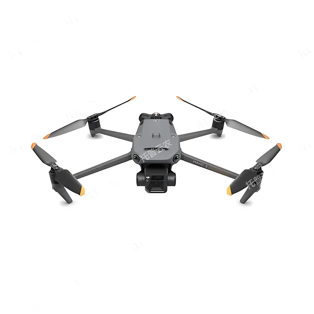
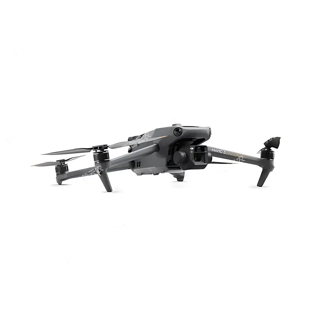
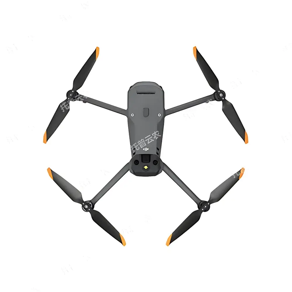
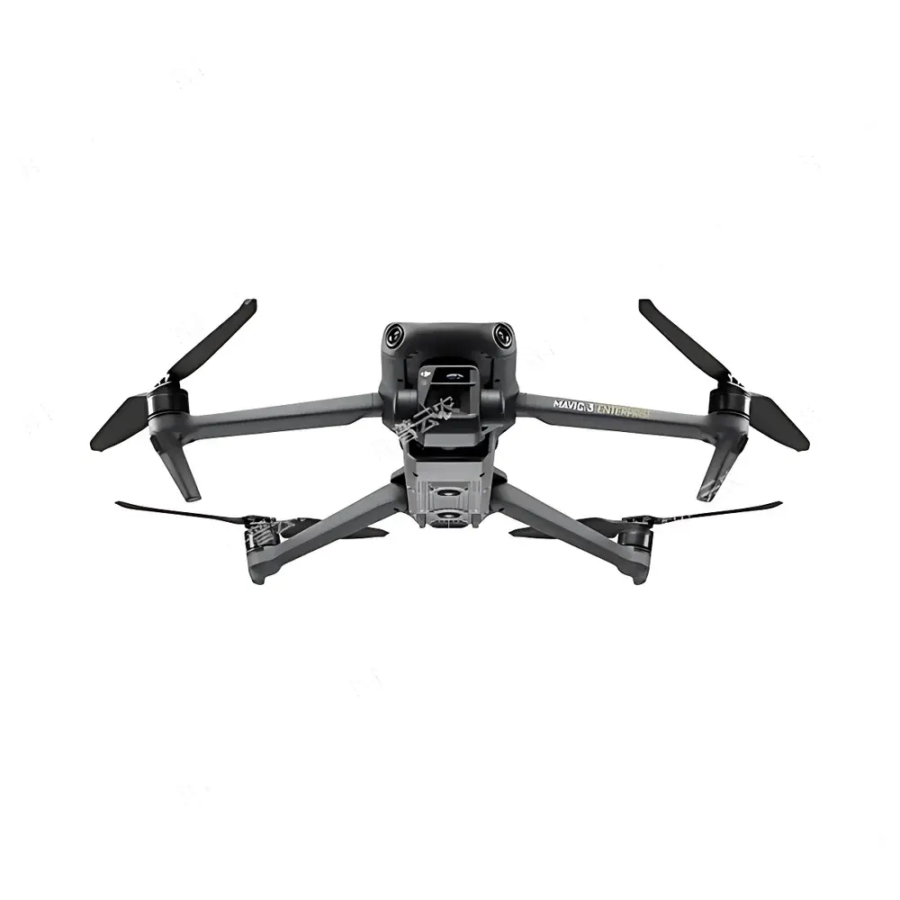
TopCloud-agri TP-DGP Multispectral Crop Phenotyping Drone Platform
| Brand | TopCloud-agri |
|---|---|
| Origin | Zhejiang, China |
| Manufacturer Type | OEM/ODM Producer |
| Model | TP-DGP (Multispectral) |
| Flight Endurance | >40 min |
| Max Horizontal Speed | 21 m/s |
| Max Wind Resistance | 12 m/s |
| RTK Positioning Accuracy | 1 cm + 1 ppm (horizontal), 1.5 cm + 1 ppm (vertical) |
| Visible Light Camera | 20 MP, 4/3" CMOS, 24 mm equiv. f/2.8 lens, 84° FOV, JPEG/DNG output |
| Multispectral Sensor | 5 MP, 1/2.8" CMOS, 25 mm equiv. lens, 73.91° diagonal FOV, spectral bands: G (560±16 nm), R (650±16 nm), RE (730±16 nm), NIR (860±26 nm), TIFF output, gain 1x–32x |
| Real-time Video Transmission | 1080p/30fps |
| Operating Temperature | −10°C to +40°C |
Overview
The TopCloud-agri TP-DGP Multispectral Crop Phenotyping Drone Platform is an integrated aerial remote sensing system engineered for high-resolution, non-destructive plant phenotyping across the full crop growth cycle—from emergence and tillering through heading, grain filling, and senescence. Built upon a dual-sensor architecture combining a calibrated 20-megapixel RGB camera and a synchronized 5-band multispectral imager, the platform captures reflectance data in green (G), red (R), red-edge (RE), and near-infrared (NIR) spectral regions. These measurements serve as inputs for standardized vegetation index computation—including NDVI, NDRE, GNDVI, and CIred-edge—enabling quantitative assessment of chlorophyll content, canopy structure, water status, and photosynthetic efficiency. The system operates within a physics-based radiometric framework compliant with ISO 17123-9 (field performance testing of optical sensors) and supports traceable calibration via onboard irradiance sensors and reflectance panels. Designed for field-deployable repeatability, it delivers spatially registered imagery at ground sampling distances (GSD) down to 2.5 cm/pixel at 60 m AGL, facilitating pixel-level trait extraction under variable lighting and atmospheric conditions.
Key Features
- Full-Growth-Cycle Phenotyping Algorithms: Pre-trained deep learning models enable automated detection and quantification of emergence rate, canopy coverage, plant height (via DSM generation), lodging severity, panicle count, growth stage (BBCH scale), and yield proxies—all validated against ground-truthed agronomic measurements.
- RTK-Enhanced Georeferencing: Integrated dual-frequency GNSS with real-time kinematic correction ensures centimeter-level absolute positioning accuracy (<1 cm + 1 ppm horizontal), critical for longitudinal monitoring and change detection across multiple flights.
- Autonomous Mission Execution: Mission planning software supports polygon-based flight path generation, adaptive altitude adjustment over terrain, and intelligent overlap optimization (70% forward/60% side overlap) to guarantee consistent radiometric coverage and geometric fidelity.
- Edge-Enabled Onboard Processing: Embedded FPGA-accelerated image preprocessing pipeline performs radiometric normalization, vignetting correction, and band co-registration prior to storage—reducing post-processing latency and computational load on central servers.
- IoT Ecosystem Integration: Native API support for time-synchronized ingestion of environmental telemetry from third-party soil moisture probes, microclimate stations, and irrigation controllers—enabling multivariate correlation analysis between spectral signatures and edaphic/atmospheric drivers.
- Regulatory-Ready Data Provenance: All image metadata—including GPS timestamps, IMU orientation, sensor gain settings, and calibration coefficients—are embedded in EXIF/XMP headers and archived with SHA-256 checksums to satisfy GLP-compliant data integrity requirements.
Sample Compatibility & Compliance
The TP-DGP platform is optimized for monocot and dicot row crops including rice, wheat, maize, soybean, and rapeseed, with validation datasets spanning temperate, subtropical, and irrigated arid agroecosystems. Its spectral configuration aligns with USDA ARS-recommended band centers for cereal phenotyping and conforms to ASTM E2617-22 (Standard Practice for Spectral Reflectance Measurements of Vegetation). Radiometric calibration follows NIST-traceable procedures using certified reflectance standards (Labsphere Spectralon®). The system meets CE EN 62366-1 (usability engineering) and FCC Part 15 Subpart C (unintentional radiator) requirements. For regulated research environments, audit trails, user access controls, and electronic signature capabilities can be enabled to meet FDA 21 CFR Part 11 and ISO/IEC 17025 documentation standards.
Software & Data Management
TopCloud-agri’s proprietary PhenomCloud™ desktop and web platform provides end-to-end workflow orchestration—from mission planning and raw data ingestion to trait extraction, statistical modeling, and report generation. All processing modules are containerized (Docker) and reproducible via version-controlled pipelines (GitLab CI). The platform supports FAIR data principles: each dataset is assigned a persistent DOI, annotated with controlled vocabularies (Crop Ontology, EnvO), and exportable in MIAPPE-compliant JSON-LD format. Time-series analytics include linear mixed-effects modeling for genotype × environment interaction (G×E) studies, while spatial statistics leverage geostatistical kriging for interpolation of unsampled zones. Export options include Excel (.xlsx) for tabular traits, GeoTIFF for georeferenced indices, PDF reports with embedded confidence intervals, and PNG visualizations with scale bars and coordinate grids.
Applications
- Plant Breeding Programs: High-throughput screening of mapping populations for drought tolerance (via NIR-derived water index), nitrogen use efficiency (via RE band slope), and disease resistance (via texture-based anomaly detection).
- Academic Research: Validation of physiological models (e.g., Farquhar photosynthesis model) using canopy-scale PRI (Photochemical Reflectance Index) and SIF (Solar-Induced Fluorescence) proxy estimation.
- Commercial Farming Operations: Variable-rate application prescription generation for nitrogen, fungicides, and growth regulators based on spatially explicit vigor maps and historical yield trends.
- Government Agricultural Extension: Scalable monitoring of regional crop health for early pest outbreak detection (e.g., rice blast, wheat rust) and subsidy eligibility verification under national food security programs.
- Smart Infrastructure Monitoring: Integration with digital twin platforms for precision management of high-standard farmland infrastructure—including drainage networks, terracing, and irrigation canal alignment verification.
FAQ
What spectral bands does the TP-DGP multispectral camera capture, and are they factory-calibrated?
Yes—the sensor captures five discrete bands: Green (560±16 nm), Red (650±16 nm), Red-Edge (730±16 nm), and Near-Infrared (860±26 nm), with factory radiometric calibration certificates traceable to NIST standards included with each unit.
Can the system operate without internet connectivity during data acquisition?
Yes—mission planning, autonomous flight execution, onboard image processing, and local storage are fully offline-capable; cloud synchronization occurs only during post-flight upload.
Is the platform compatible with third-party GIS or LIMS systems?
Yes—PhenomCloud™ provides RESTful APIs supporting OGC WMS/WFS protocols and HL7/FHIR-compliant data exchange for integration with enterprise GIS (ArcGIS Enterprise, QGIS Server) and laboratory information management systems.
How is data security and user accountability maintained in multi-user deployments?
Role-based access control (RBAC), session timeouts, encrypted database storage (AES-256), and immutable audit logs—including operator ID, timestamp, and action type—are enforced per ISO/IEC 27001 requirements.
Does the system support custom algorithm deployment for proprietary trait models?
Yes—users may deploy Python- or C++-based inference modules via the SDK, with hardware-accelerated inference on the onboard GPU and automatic versioning of model parameters alongside raw data.