EcoTech Ecodrone-LiHT Integrated UAV-Based Hyperspectral, Thermal, and LiDAR Remote Sensing System
| Brand | EcoTech |
|---|---|
| Origin | Beijing, China |
| Manufacturer Type | Authorized Distributor |
| Origin Category | Domestic |
| Model | Ecodrone-LiHT |
| Pricing | Upon Request |
| Operating Principle | Push-broom |
| Imaging Method | Dispersive |
| Deployment Mode | Airborne |
| Spectral Range | 400–1000 nm |
| Spectral Resolution | 5.5 nm |
| Spatial Resolution (Hyperspectral) | 1024 pixels per line |
| Field of View (TFOV) | 38° |
| Frame Rate | 230 Hz |
| Thermal Sensor Resolution | 640 × 512 (standard), up to 1266 × 1010 (IR high-res mode) |
| Thermal Sensitivity | ≤0.03 °C |
| LiDAR Accuracy | 2.5 cm (standard), optional upgrade to 0.5 cm |
| LiDAR Return Channels | Up to 3 (standard), up to 15 (optional) |
| Point Density at 50 m AGL | ≥700 pts/m² |
Overview
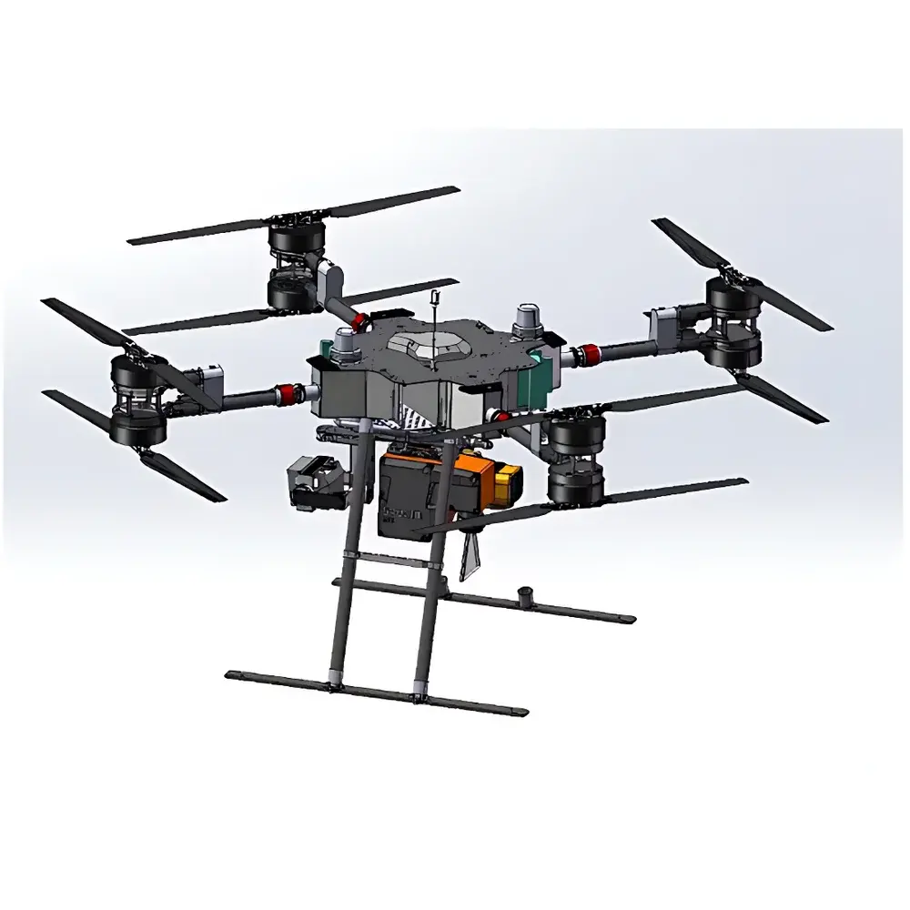
The EcoTech Ecodrone-LiHT is a fully integrated, research-grade unmanned aerial vehicle (UAV) remote sensing platform engineered for synchronized acquisition of hyperspectral reflectance, thermal infrared emission, and high-density 3D topographic data. Built upon the proprietary UAS-8 Pro octocopter airframe, the system enables stable, long-endurance flight missions under variable field conditions while supporting simultaneous operation of three physically distinct sensing modalities: Specim AFX10 push-broom hyperspectral imaging (400–1000 nm), Thermo-RGB radiometric thermal imaging, and YellowScan LiDAR scanning. Its core measurement architecture leverages dispersive spectroscopy with precise spatial-spectral registration, calibrated thermal radiometry traceable to NIST standards, and time-of-flight LiDAR with multi-return capability—enabling rigorous, multi-physics characterization of vegetation structure, biochemical composition, surface energy balance, and micro-topography at centimeter-scale spatial resolution across landscape-level extents.
Key Features
- UAS-8 Pro heavy-lift octocopter platform with extended flight endurance (>45 min payload-dependent) and active vibration damping for sensor stability
- Specim AFX10 hyperspectral sensor: 1024-pixel linear array, 5.5 nm spectral resolution, 230 Hz frame rate, 38° TFOV—optimized for high-SNR, high-throughput push-broom acquisition over vegetated surfaces
- Thermo-RGB module featuring uncooled VOx microbolometer with 640 × 512 native IR resolution; IR high-resolution interpolation mode delivers effective 1266 × 1010 pixel output and thermal sensitivity ≤0.03 °C at 30 °C ambient
- YellowScan LiDAR system with dual-frequency operation, ≥3 discrete returns per pulse, and absolute vertical accuracy of ±2.5 cm (RMS) at 50 m AGL; optional high-precision configuration achieves ±0.5 cm accuracy with up to 15 returns
- Hardware-synchronized triggering and GNSS/IMU-based georeferencing (RTK/PPK capable) ensuring sub-pixel co-registration across all modalities
- Onboard real-time telemetry, mission planning integration via QGroundControl, and automated data stitching workflows in post-processing
Sample Compatibility & Compliance
The Ecodrone-LiHT is designed for non-invasive, in situ observation of heterogeneous natural and agricultural surfaces—including crop canopies, forest understories, wetland vegetation, soil-vegetation-atmosphere interfaces, and urban green infrastructure. It complies with ISO 18437-1 (vibration monitoring of rotating machinery), ASTM E1933-19 (standard test methods for radiometric calibration of thermal imaging systems), and IEC 62280-2 (UAV operational safety). Data acquisition protocols support GLP-aligned metadata logging (sensor status, GPS timestamp, IMU orientation, exposure parameters) and are compatible with FAIR data principles. Thermal outputs meet ASTM E1934-18 requirements for emissivity-corrected surface temperature mapping when used with validated emissivity libraries.
Software & Data Management
Raw data streams from all sensors are recorded in vendor-neutral formats: hyperspectral cubes as ENVI-compatible BIL/BIP files (.hdr/.raw), thermal sequences as calibrated radiance TIFF stacks with embedded metadata, and LiDAR point clouds as LAS/LAZ v1.4 compliant files. EcoTech’s proprietary Ecodrone Suite provides automated orthorectification, spectral unmixing (via constrained least squares), thermal emissivity correction (using NDVI-assisted segmentation), and co-registered 3D feature extraction (e.g., canopy height models, leaf area index proxies, thermal heterogeneity indices). Export modules support integration into ENVI, ArcGIS Pro, R (lidR, hyperSpec), Python (scikit-image, laspy, hylite), and cloud-based platforms including Google Earth Engine via standardized GeoJSON and Cloud Optimized GeoTIFF (COG) pipelines.
Applications
- Plant phenotyping: Quantitative estimation of chlorophyll content (CIred-edge), carotenoid-to-chlorophyll ratio, water stress indices (NDWI, CWSI), stomatal conductance proxies, and transpiration efficiency via coupled thermal-hyperspectral modeling
- Forest ecology: Species classification using spectral-spatial-textural features, structural complexity assessment via LiDAR-derived vertical diversity metrics (e.g., Hmax, CV of z), and fire risk mapping through fuel moisture estimation
- Agroecosystem monitoring: High-throughput yield prediction, nitrogen use efficiency tracking, early detection of biotic (e.g., fungal infection signatures) and abiotic (drought, salinity) stressors
- Environmental change studies: Long-term monitoring of land cover transitions, wetland evapotranspiration partitioning, urban heat island intensity mapping, and biodiversity indicators (e.g., spectral entropy, functional dispersion)
- Ecological restoration validation: Multi-temporal assessment of vegetation establishment, soil surface stabilization, and microclimate moderation using integrated structural–functional–thermal metrics
FAQ
What spectral calibration standards are supported for the AFX10 sensor?
The AFX10 includes factory-calibrated radiometric and spectral response functions. Field calibration is performed using NIST-traceable reflectance panels (e.g., Spectralon® 99% white reference) and dark current measurements prior to each mission.
Can the system operate under partial cloud cover or low-light conditions?
Hyperspectral and RGB imaging require sufficient solar irradiance (≥30,000 lux); thermal imaging remains functional under diffuse illumination but requires ≥2-hour thermal equilibration pre-flight for optimal emissivity consistency.
Is the LiDAR system compatible with third-party GNSS-RTK receivers?
Yes—the system supports external PPK/RTK inputs via UART/USB-C and is validated with Emlid Reach M2, u-blox ZED-F9P, and NovAtel SPAN solutions for ≤2 cm horizontal positional accuracy.
How is thermal data radiometrically calibrated?
Each Thermo-RGB sensor undergoes individual two-point blackbody calibration (at 25 °C and 50 °C) with drift compensation applied during post-processing using shutter-based non-uniformity correction (NUC) frames.
Does the platform support automated flight path generation for repeated monitoring?
Yes—mission plans can be saved, georeferenced, and re-executed with centimeter-level repeatability using onboard RTK-GNSS and visual-inertial odometry (VIO) fallback.