Sea-Bird Scientific LOBO Coastal and Estuarine Biogeochemical Observatory
| Brand | Sea-Bird Scientific |
|---|---|
| Origin | Imported |
| Manufacturer Type | Authorized Distributor |
| Model | LOBO |
| Pricing | Upon Request |
Overview
The Sea-Bird Scientific LOBO (Land-Ocean Biogeochemical Observatory) is a field-deployable, real-time water quality monitoring platform engineered for high-fidelity, long-term biogeochemical observation in dynamic coastal, estuarine, lacustrine, and riverine environments. Developed in collaboration with the Monterey Bay Aquarium Research Institute (MBARI) and Dr. Ken Johnson’s research group, LOBO implements a modular architecture that integrates calibrated, marine-grade sensors with robust data acquisition, automated quality control, and web-based visualization. Its operational principle centers on continuous in situ measurement of physical, chemical, and biological parameters using standardized electrochemical, optical, and hydrodynamic sensing techniques—enabling quantification of ecosystem-scale processes such as nutrient cycling, primary productivity, hypoxia development, and sediment–water interface exchange.
Key Features
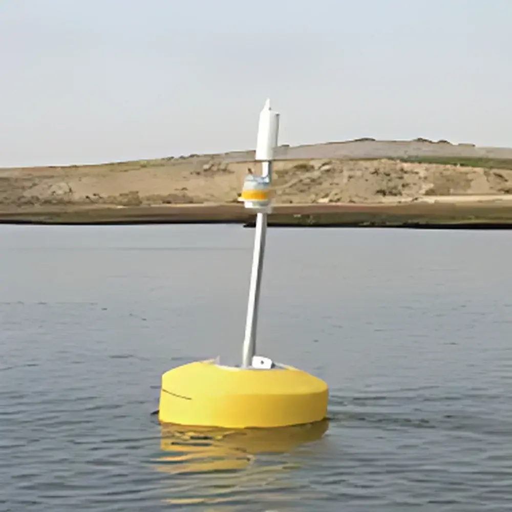
- Modular deployment configurations: Bay LOBO (buoy-mounted), River LOBO (stream-anchored or moored), Dock LOBO (shore-fixed), and Benthic LOBO (seafloor/lakebed mounted) — each optimized for mechanical stability, biofouling resistance, and hydrodynamic compatibility.
- Integrated anti-fouling systems including Bio-Wiper™ mechanical cleaning, copper alloy housings, and optional UV-cleaning modules to maintain sensor integrity over extended deployments (typically 3–12 months without intervention).
- Multi-sensor synchronization via Sea-Bird’s SBE 37 MicroCAT or SBE 49 FastCAT CTD modules for concurrent temperature, conductivity (salinity), pressure (depth), and dissolved oxygen measurements with NIST-traceable calibration certificates.
- Optical sensor integration supporting Satlantic SUNA V2 nitrate analyzers, WET Labs ECO series fluorometers (chlorophyll-a, CDOM, turbidity), and Nortek Aquadopp acoustic Doppler current profilers (ADCP) with GPS-enabled position logging.
- Onboard data handling: Embedded Linux-based controller executes automated spike detection, drift correction, unit conversion, and metadata tagging per ISO/IEC 17025-aligned QA/QC protocols.
Sample Compatibility & Compliance
LOBO is validated for use across brackish, freshwater, and full-salinity marine matrices (0–40 PSU), with sensor response ranges conforming to ASTM D511, D1293, D888, and ISO 5815-1 (DO), ISO 7027 (turbidity), and USP (conductivity). All deployed sensor suites undergo factory calibration with documented uncertainty budgets and are compatible with GLP-compliant audit trails. The system supports 21 CFR Part 11–ready data archiving when configured with LOBOviz Enterprise Edition, including electronic signatures, immutable logs, and role-based access control.
Software & Data Management
LOBOviz is the proprietary web-based application layer that orchestrates end-to-end data lifecycle management. It performs real-time ingestion from multiple LOBO nodes via cellular (LTE-M/NB-IoT), satellite (Iridium Short Burst Data), or Ethernet backhaul; applies configurable QC filters (e.g., range checks, rate-of-change limits, inter-sensor consistency validation); and stores time-series data in PostgreSQL with temporal indexing. Users access interactive dashboards featuring synchronized multi-parameter plots, statistical summaries (min/mean/max/std), and export-ready CSV/NetCDF files. APIs (RESTful JSON) enable integration with third-party platforms including ERDDAP, THREDDS, and custom GIS or SCADA environments. Mobile access is supported through responsive HTML5 rendering — no native app required.
Applications
- Long-term estuarine nutrient flux monitoring for TMDL compliance and hypoxia forecasting
- Real-time algal bloom early warning using chlorophyll-a + CDOM + nitrate co-variation analysis
- Wastewater outfall impact assessment via spatially resolved DO depletion and salinity intrusion mapping
- Climate-driven phenology studies tracking seasonal shifts in stratification, mixing depth, and benthic-pelagic coupling
- Validation of hydrodynamic and biogeochemical models (e.g., FVCOM, ROMS, GOTM) with high-temporal-resolution observational constraints
FAQ
What communication protocols does LOBO support for remote data transmission?
LOBO supports LTE-M, NB-IoT, Iridium SBD, and wired Ethernet — selectable based on site infrastructure and regulatory licensing requirements.
Can LOBO operate autonomously during power outages?
Yes. Standard configurations include marine-grade lithium-thionyl chloride battery packs (10+ year shelf life) or solar-charged lead-carbon hybrid systems rated for >6 months continuous operation at -20°C to +45°C.
Is sensor recalibration required in the field?
No routine field recalibration is needed. Sensors are factory-calibrated with stability specifications verified per IEC 60761-3; drift is corrected algorithmically using reference parameter cross-checks (e.g., O₂ saturation vs. temperature/salinity) and scheduled in situ zero/span verification events.
How is data security ensured during wireless transmission?
All telemetry uses TLS 1.2+ encryption; authentication employs certificate-based mutual TLS (mTLS); and stored data complies with ISO/IEC 27001 controls for confidentiality, integrity, and availability.
Does LOBO support integration with existing environmental data portals?
Yes. LOBOviz provides documented REST APIs and adheres to OGC SensorThings API v1.1 standards, enabling seamless ingestion into national networks such as NOAA IOOS, EPA STORET, and EU Copernicus Marine Service.


